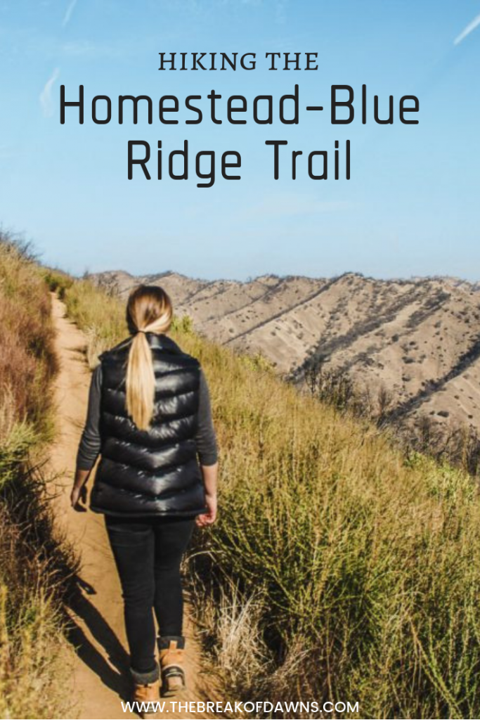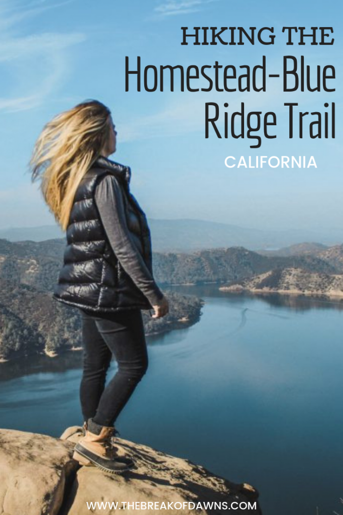
I’ve been spending a lot of time researching trails nearby since I’m always on the search for something new. While there are hundreds within 50 miles of my home, the type of trail I’m seeking is one with a purpose. I want to have some sort of “reward” or “ta-da” factor at the end of my treks to make it feel worthwhile. It didn’t take me too long to find one that seemed like just what I’m looking for, the Homestead-Blue Ridge Trail.
Here’s a Hike on the Homestead-Blue Ridge Trail:
The Homestead-Blue Ridge Trail Details
Located on the south side of Lake Berryessa, this trail is one of two in the Stebbins Cold Canyon Reserve.
Read More: The Trails of Lake Berryessa
The Homestead-Blue Ridge Trail is a 5.1 loop that climbs 1456 feet. The trail is lightly trafficked but for a good reason: it’s considered somewhat of a difficult hike due to the ascension. Although it’s a tad strenuous, it’s totally worth it.
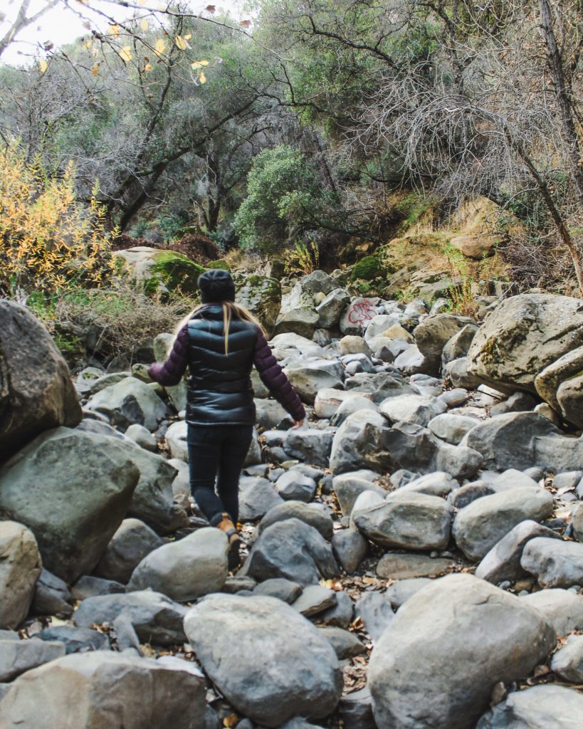
When we hiked this trail, it was only about a month and a half after the Sonoma wildfires rampaged through the area. We also hadn’t had much rain at the time so the river bed and storm drains we had to cross through were all dry. It’s important to note that if there’s been rain and the river is flowing, do not attempt the hike.
Finding the Trailhead
After parking in a dirt lot about a mile north of the Monticello Dam, we follow the printed signs towards the Homestead-Blue Ridge Trail. The first obstacle we come to is a dry river bed and two massive storm drains. Although there were no signs pointing in this direction, we assumed it was the right route and crossed through. The trail continues on the hill on the right side.
Starting the Climb
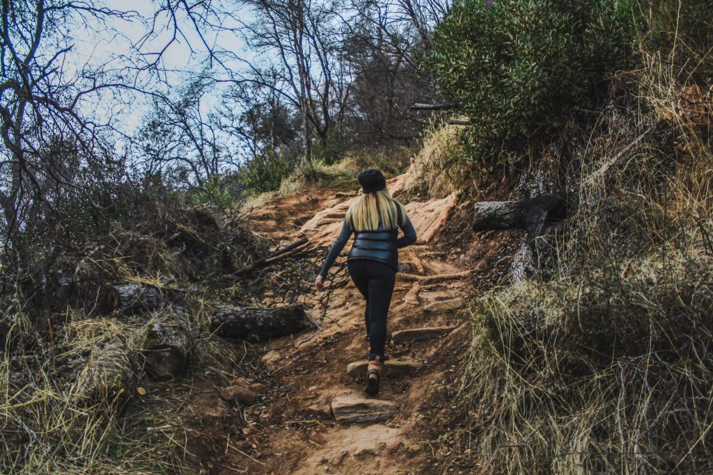
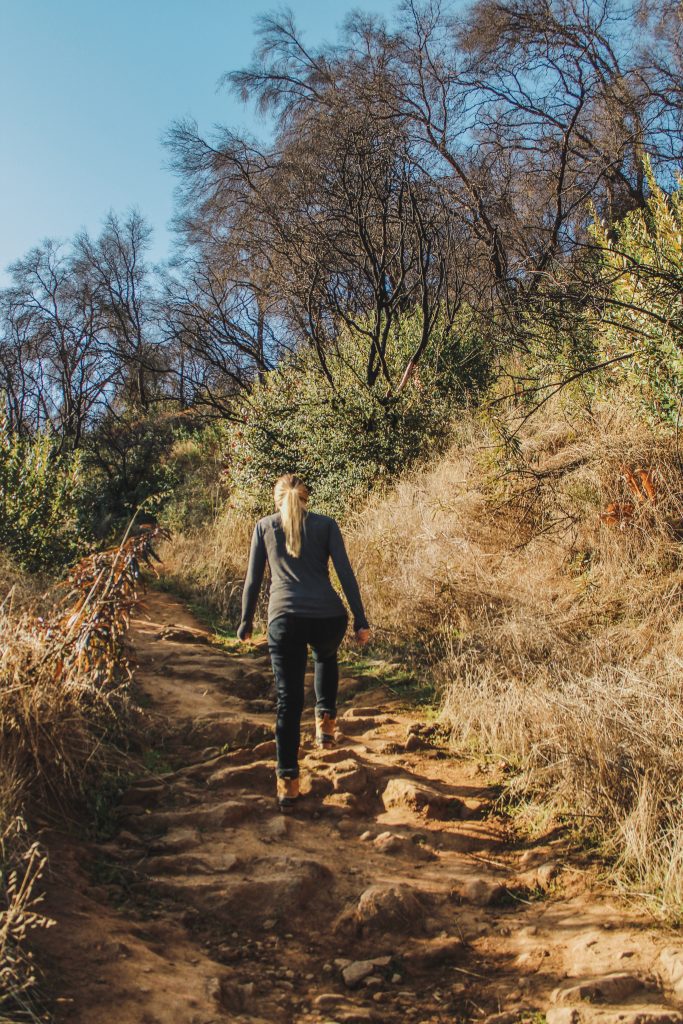
Immediately after crossing the river bed, the climb upwards begins. There are multiple spots where logs and sandbags have been put in to aid in the elevation gain. The legs are definitely burning at this point as the next 10 minutes of the ascent is very steep.
This area used to be more shaded with brush and trees but since the fires came through most of the trail it’s totally exposed.
Be sure to have your 8 hiking essentials when out on the trail!
The Beginning of the Views
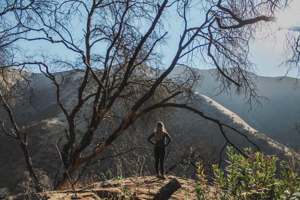
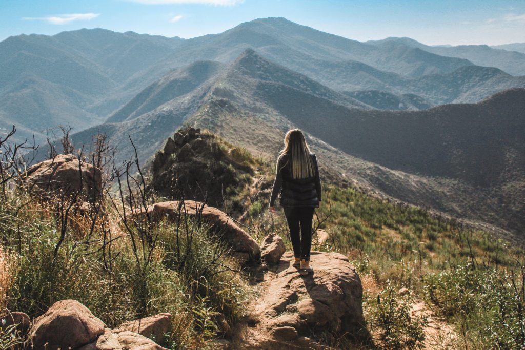
It doesn’t take long for the breathtaking views to present themselves. I like to think that we came here at the right time, right after the fires, so we were able to see more without trees in the way. Stunning views of the surrounding Vaca Mountains are around every corner as the trail continues to wind uphill.
Closing In On the Peak
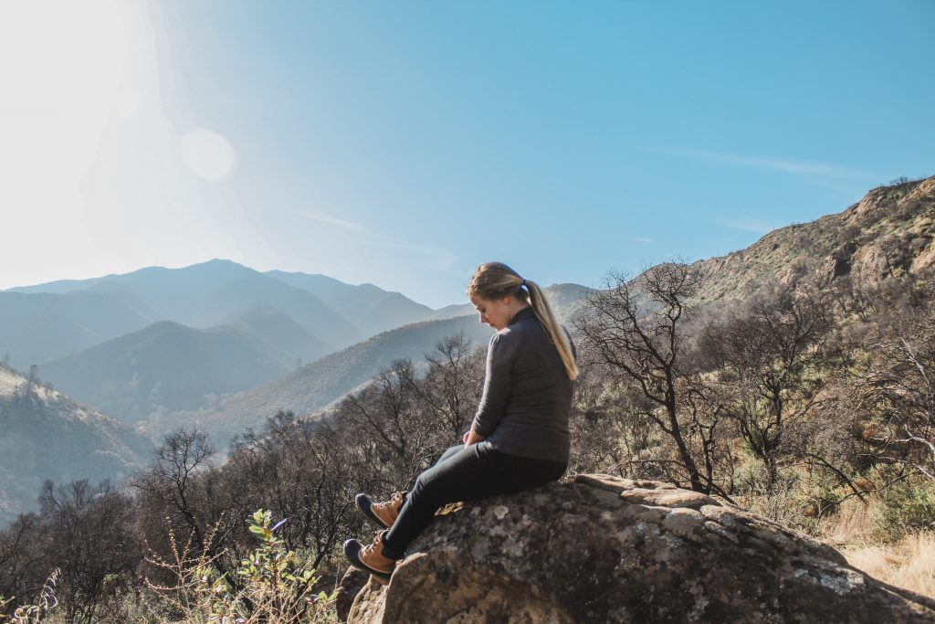
At this point, shrubbery really doesn’t exist at this height of the mountain and the trail remains wide open to the sun. At one point, we see a small peak to the right of the trail where a tree is shading a large rock. We trek on over to it, searching for a spot to sit out of the sun for a few moments and begin to see the treat of a view we were about to be in for.
The Grand Finale of the Trail
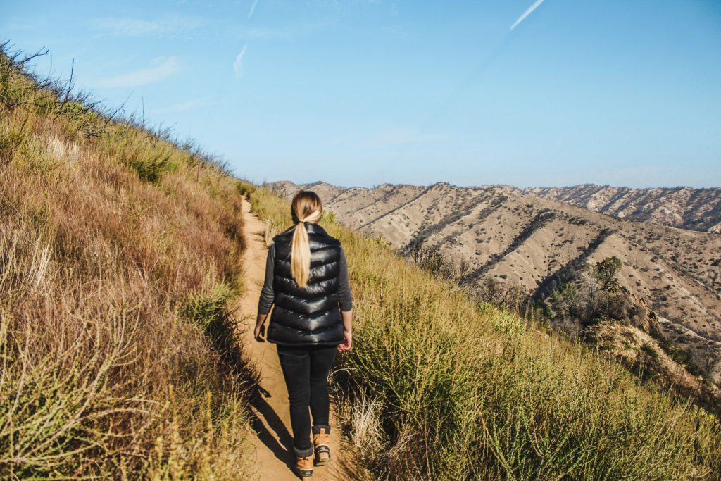
It’s only about another 15 minutes or so until we’re met with the summit. Stopping and soaking in the views of the beautiful lake, we then head south to climb a little higher. Large boulders block the way to the top but are easy to climb out to reach a shaded portion at the peak.
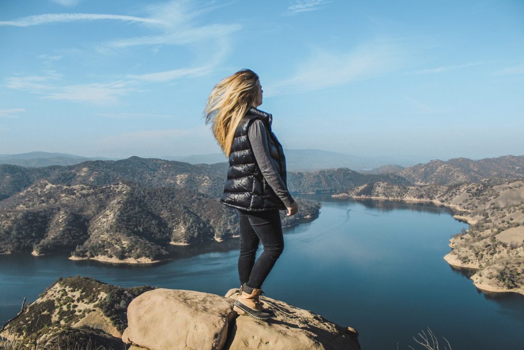
The trail continues on over the peak of the mountains laid out in front of us, lining the tips and from here, looking like a photo of the Great Wall of China from space. The views are absolutely outstanding.
Info for Hiking the Homestead-Blue Ridge Trail
- Location: Stebbins Cold Canyon Reserve/Lake Berryessa, California
- Type of Trail: Loop. Foot Trail Only
- Rated: Difficult
- Distance: 5.1 miles
- Elevation: +1456 feet
- Features: Dry Creek Bed, Storm Drain Entrance, High Climb and Peaks, Panorama View of Lake Berryessa
- More Info: Dogs NOT Permitted; If Water Levels are High in the Creek, Do Not Cross
Read More California Travel Posts HereBefore heading out on trails, it’s imperative that you’re familiar with the “Leave No Trace” principles.
Read More: Leave No Trace: The 7 Rules of the Backcountry
Learn more about Leave No Trace on their website here.
