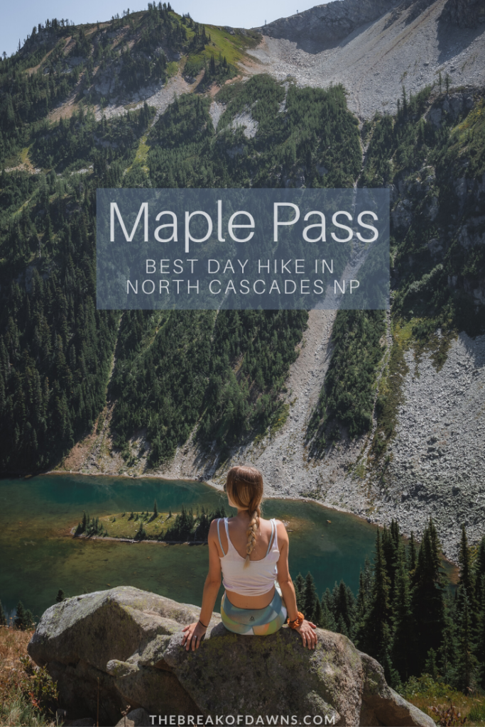
My favorite wilderness trails have been those with a ‘wow’ factor; those that contain the most spectacular views, I forget about the burning legs and exhausted lungs on the way up. We can find all of those features in Washington’s wilderness on the Maple Pass Trail, the must-do hike in North Cascades National Park.
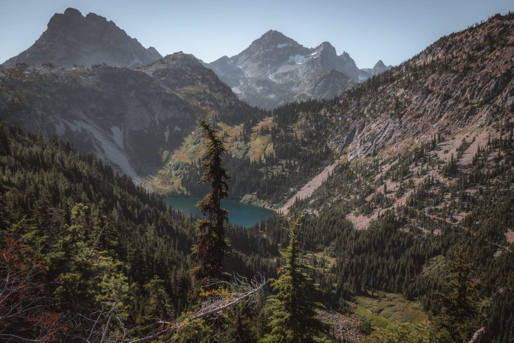
About the Maple Pass Trail
The Maple Pass Trail is one of the most popular day hikes in North Cascades and for good reason. In a gradual elevation gain at around 8 miles, you can witness panoramic views of the park’s most popular peaks and subalpine lakes. Maple Pass is also a loop trail which is pretty rare for the treks in this area and contains options for spur trails to other alpine lakes.
Looking for a shorter hike in North Cascades? Check out the hike to Blue Lake here
Sticking to the main loop, we clocked in just under 8 miles with a +2200 foot elevation gain in around 4 hours of hiking. If you only have the chance for one day hike on your trip to this park, the Maple Pass Trail is a must-do hike in North Cascades.
Check the NPS website here for current trail conditions in the park
Hiking the Maple Pass Trail in North Cascades NP
Distance: 8 Miles
Type: Loop
Elevation Gain: +2,200 Feet
Best Time to Hike: July – October
Features: Alpine lakes, wildlife, cascading mountain views. Dogs allowed on leash.
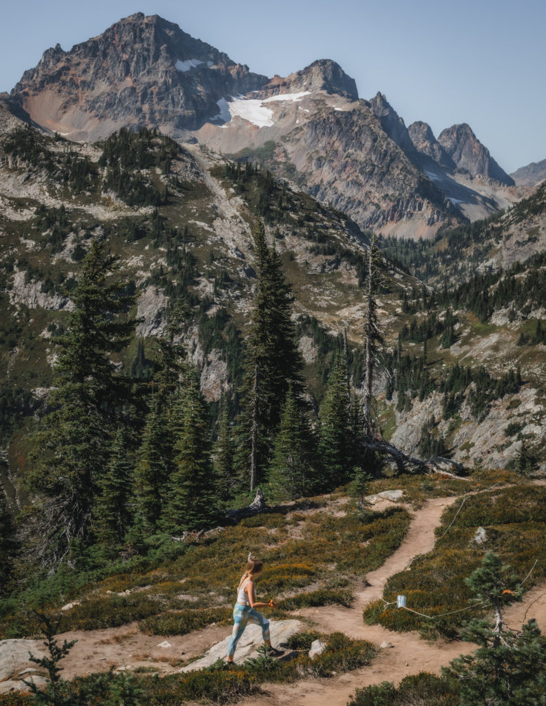
Getting to the Maple Pass Trailhead
The Maple Pass trailhead is located just off Highway 20 or North Cascades Highway (directions to trailhead here). Since the Maple Pass Trail is on U.S. Forest Service land, a Northwest Forest Pass is required to park at the trailhead for day use.
Click here to buy your pass online or purchase one at a visitor center/ranger station
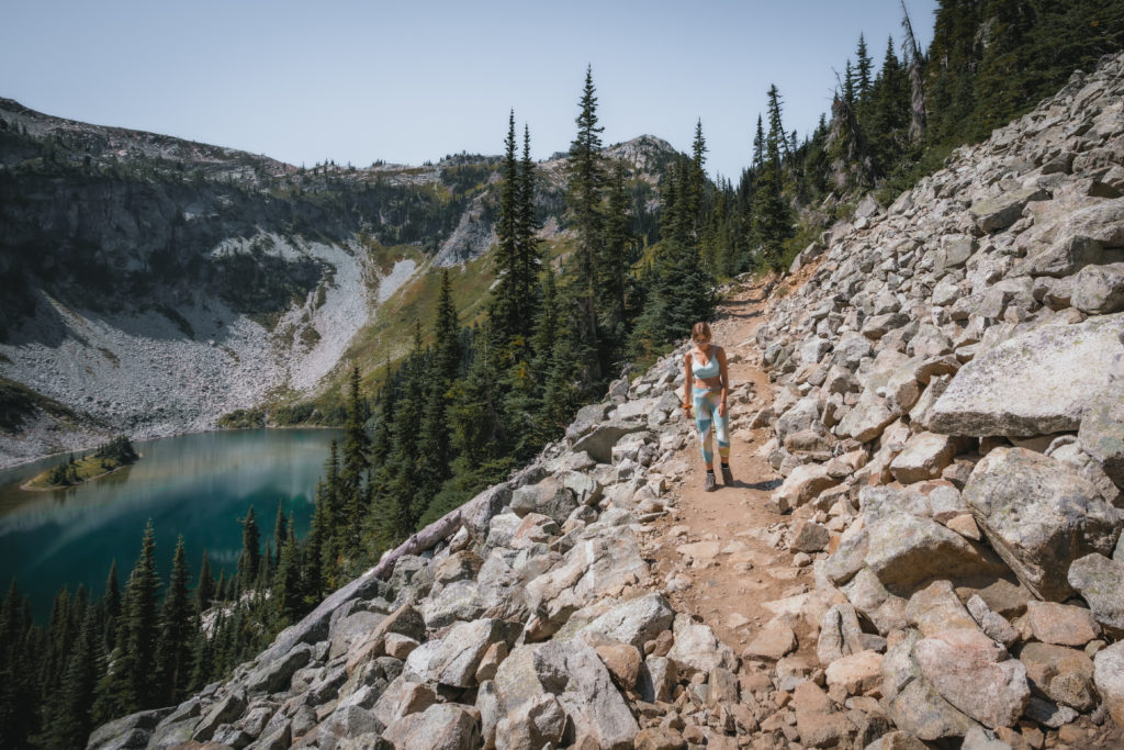
Beginning the Maple Pass Hike
The Maple Pass Trail begins at the same point of the Rainy Lake Trail. I highly recommend doing the loop counter-clockwise, beginning on the Maple Pass Trail to Lake Ann. Trudging uphill through a thick forest, we meet the first trail junction 1.3 miles in after climbing +500 feet.

Lake Ann
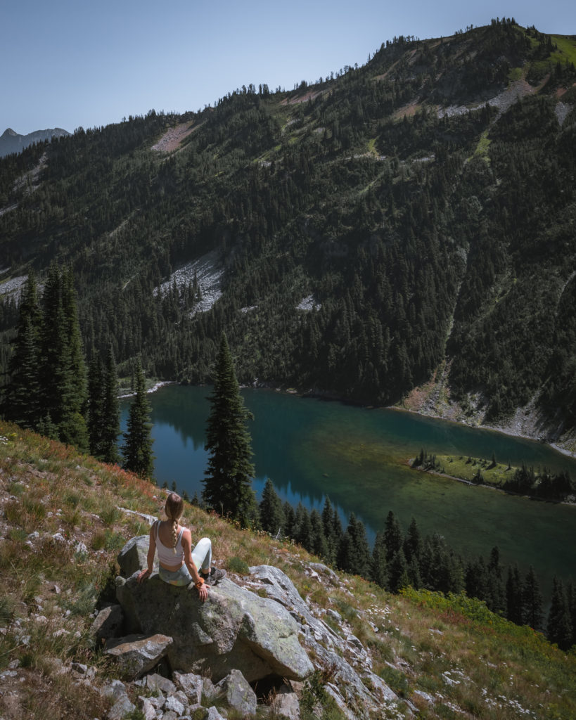
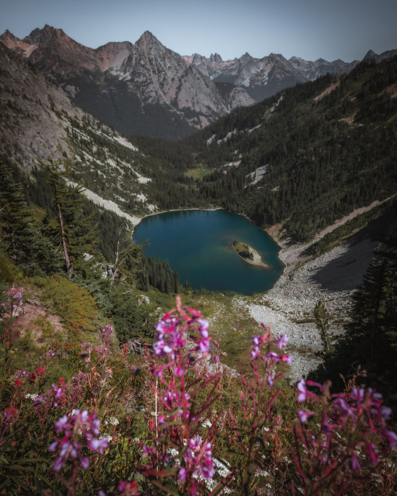
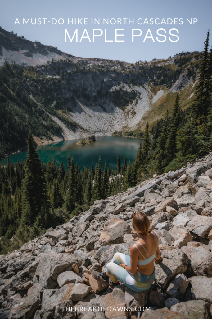
Before continuing on the Maple Pass Trail, consider hiking the short 0.5 miles down to Lake Ann. Reaching the banks of the lake, the bowled mountains reflect into the stunning aqua-colored water below.

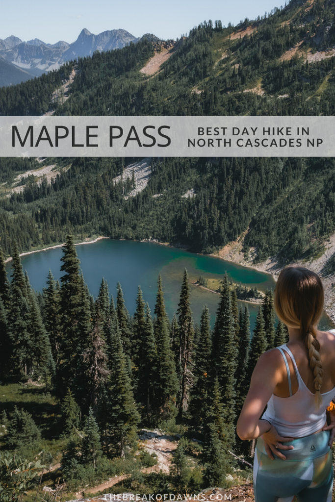
Perhaps the most distinguishing feature of Lake Ann is the oblong island that sits towards the back. You’ll be grateful you saw it from this angle when we see it from the top, indicating just how far we’ve traveled on our hike.
Continuing the Climb
Retreating back from Lake Ann to the Maple Pass Trail, our next mile consists of climbing nearly +600 feet in elevation. Opening up out of the forest and into the exposed sun, the ground turns from soft dirt to hard rocks. At just over 3 miles in our trek, we meet an opportune spot for a break where we can see the teal color of Lewis Lake in the distance.
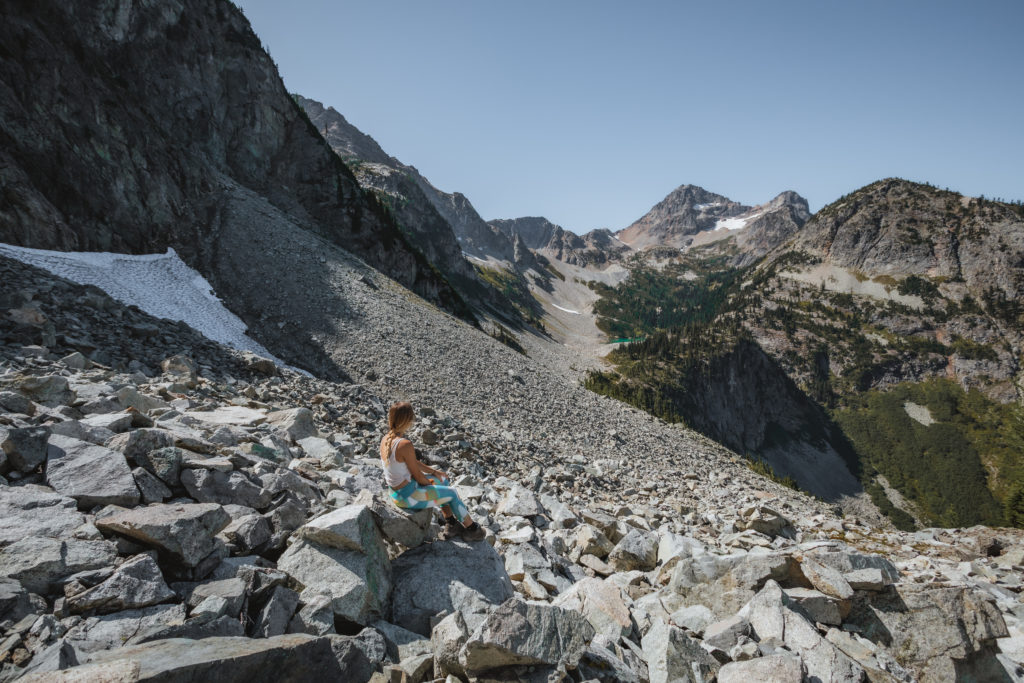
Optional Spur Trail
For those with extra time and a yearn for more adventure, consider taking the Wing Lake Trail. Lewis Lake is the first destination from this point, reachable in about 1 mile. While the distance may seem short, it takes a heck of a lot of effort to get there because of an obstacle course of boulders. If you make it, you’ll witness some true Washington wilderness magic.
Read more about hiking to Lewis Lake here

More time on your hands? Hike further on from here to Wing Lake, about 1.5 miles northwest from Lewis Lake. Once you’ve made it to Wing Lake, you may as well continue on the 1.2 miles up to Black Peak where there’s a campsite for those on overnight backpacking trips.
Click here to read about my favorite overnight backpacking trip in North Cascades NP
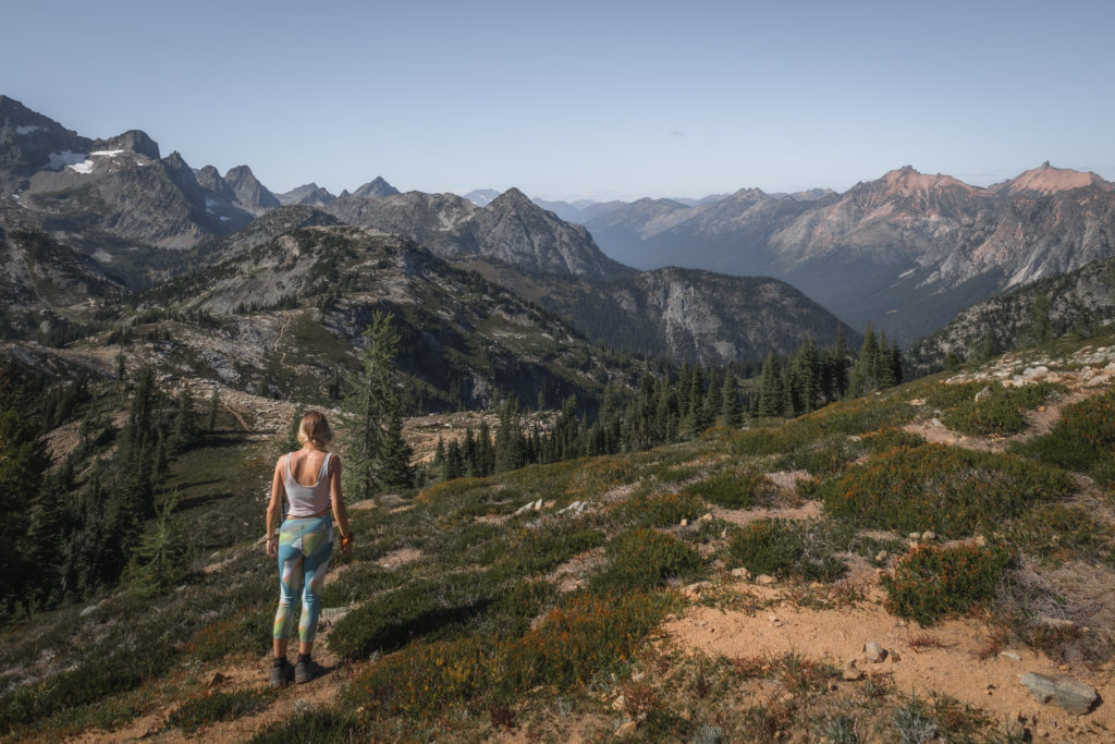
Continuing the Climb to Maple Pass
Maple Pass actually refers to the highest point of the hike at 6995 feet above sea level and we have about 1.5 miles until we get there. Along the way, we’ll experience an exposed trail that climbs nearly +900 feet in elevation.

Lake Ann continues to grab our attention throughout the hike but she’s now sitting at a much lower elevation. The surrounding peaks of Washington’s tallest mountains begin to come into view as we climb higher.
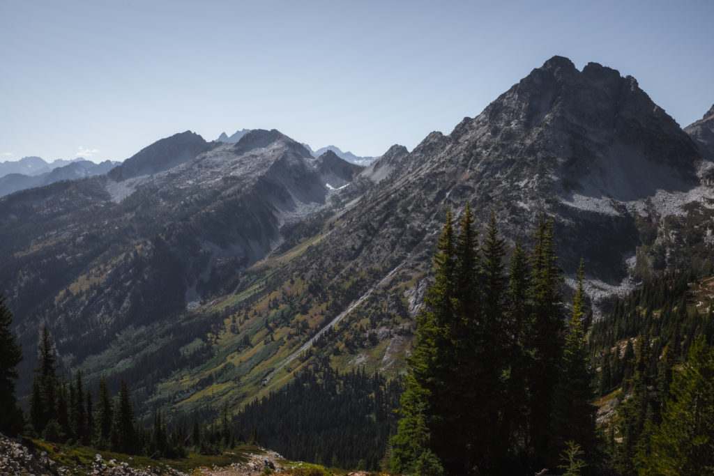
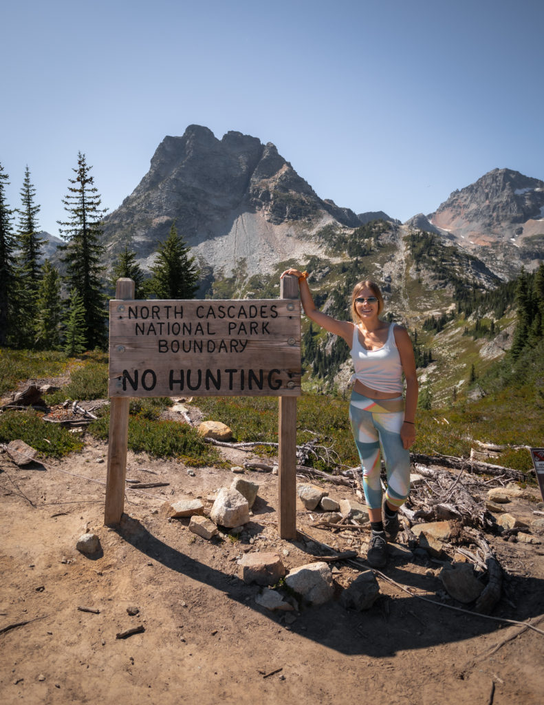
Maple Pass
As we trudge up those exposed trails, it’s quite evident when we’ve reached Maple Pass, the highest point on the entire trail at +6995 above sea level. At around 4.5 miles into our trek, we pass by the National Park boundary sign.
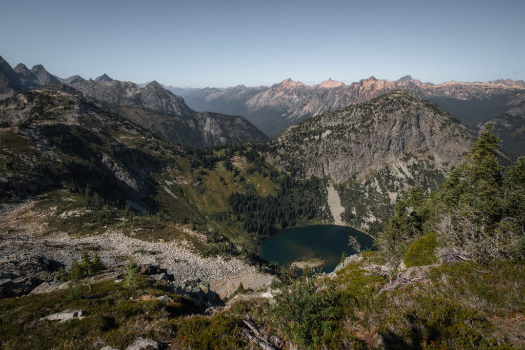
Exploring Maple Pass will provide you with just the reason why you endured this trail. To the north, we can see another new perspective of Lake Ann below.
Looking towards the west, some of Washington’s tallest peaks jut up into the sky, interrupting the horizon line.

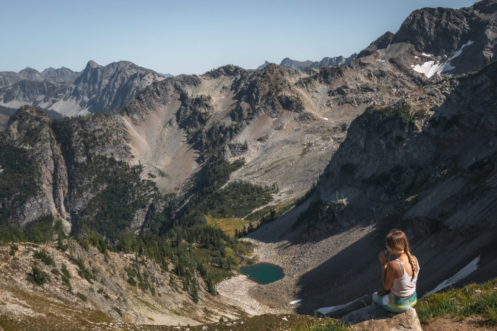
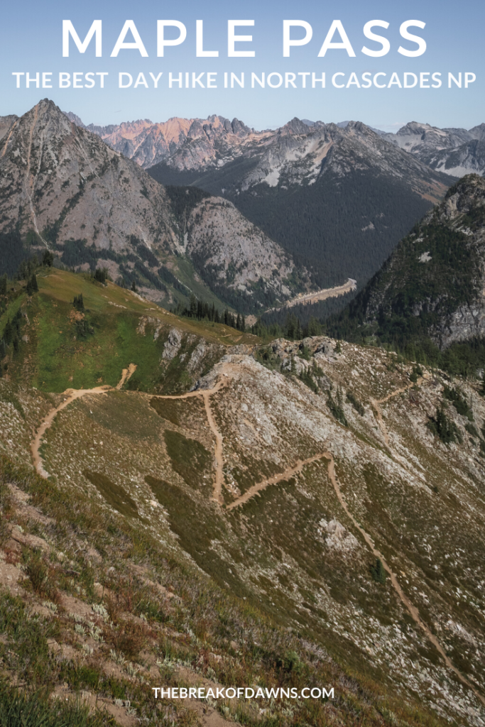
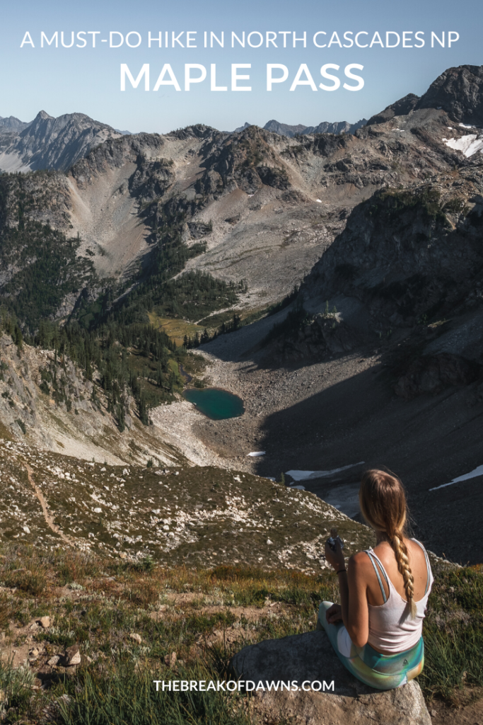
To the south, we can see a small alpine lake and an indication of the descent we’re about to embark on with the carved-in switchbacks.
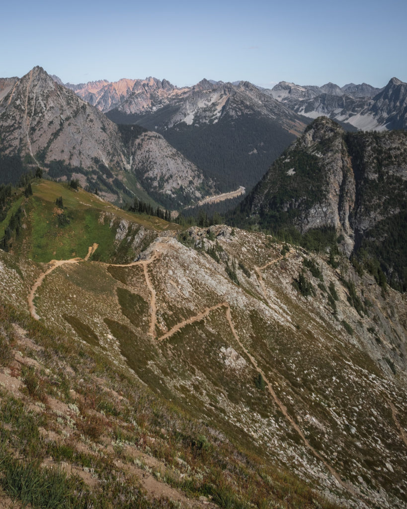
Descending from Maple Pass
And now begins the best part of the trail, the descension! As we make our way to the little dot of blue water in the distance, the forest begins to take hold of our environment again. Within around 3 miles, we meet a series of switchbacks and lose over -2000 feet in elevation while hinting at views of a lake below.
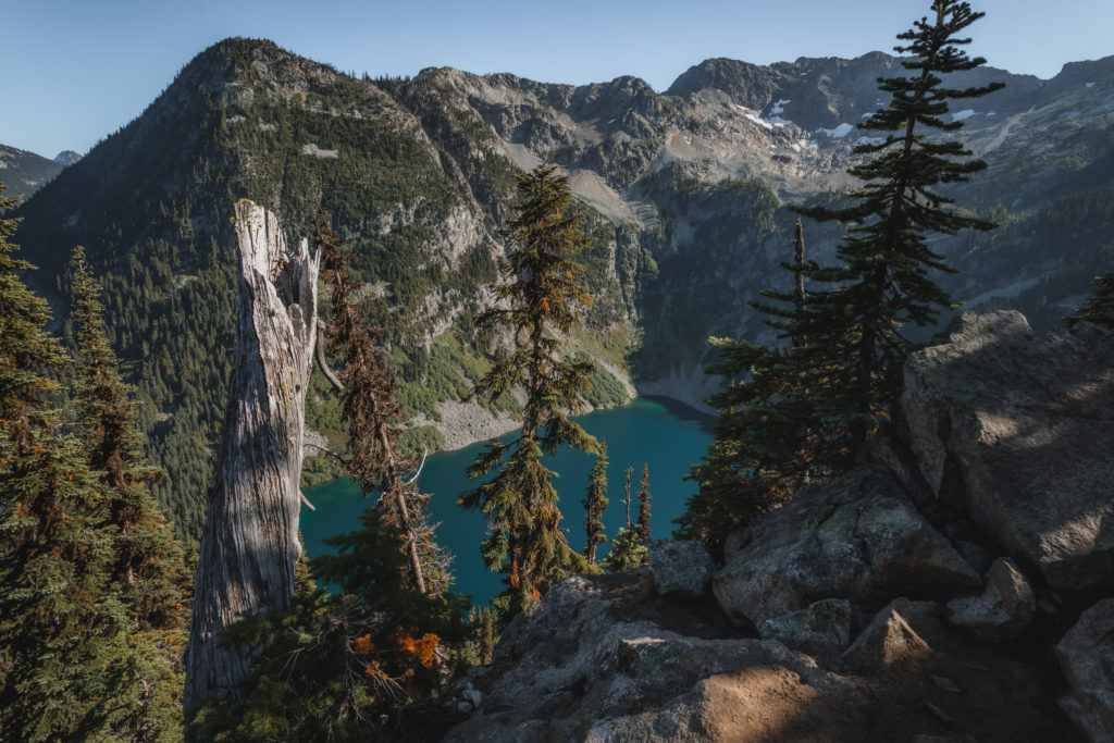
Rainy Lake Trail
Once Maple Pass Trail T’s into the paved portion of Rainy Lake Trail, consider hiking the 0.5 miles to the mouth of the lake. This is the perfect way to end our must-do hike in North Cascades as we slowly stroll through the shaded forest and learn about the various plant species along the way. Arriving to Rainy Lake, we take a load off and relax from that epic trek we embarked on along the Maple Pass Trail.
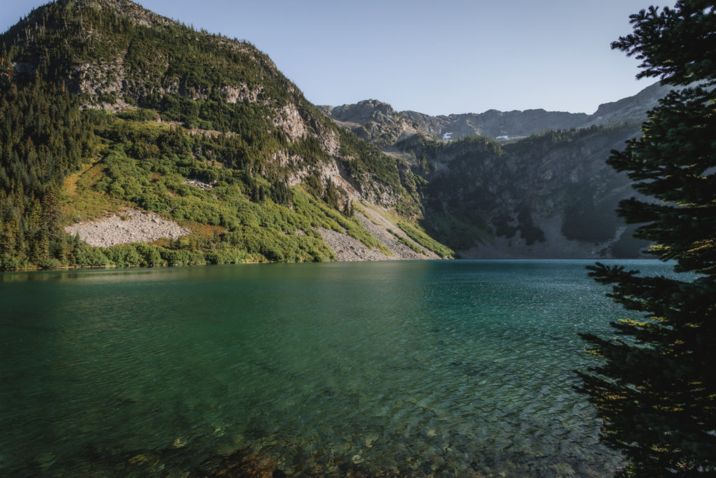
Before heading out on trails, it’s imperative that you’re familiar with the “Leave No Trace” principles.
Read More: Leave No Trace: The 7 Rules of the Backcountry
Learn more about Leave No Trace on their website here.
Like This Post? Pin It!
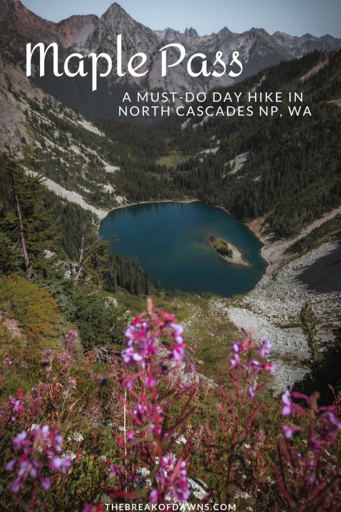


| This post contains affiliate links. At no extra cost to you, if you purchase one of these products I may receive a small commission. This helps me maintain my blog as a free space to you. Check out my Disclaimer for more info.

