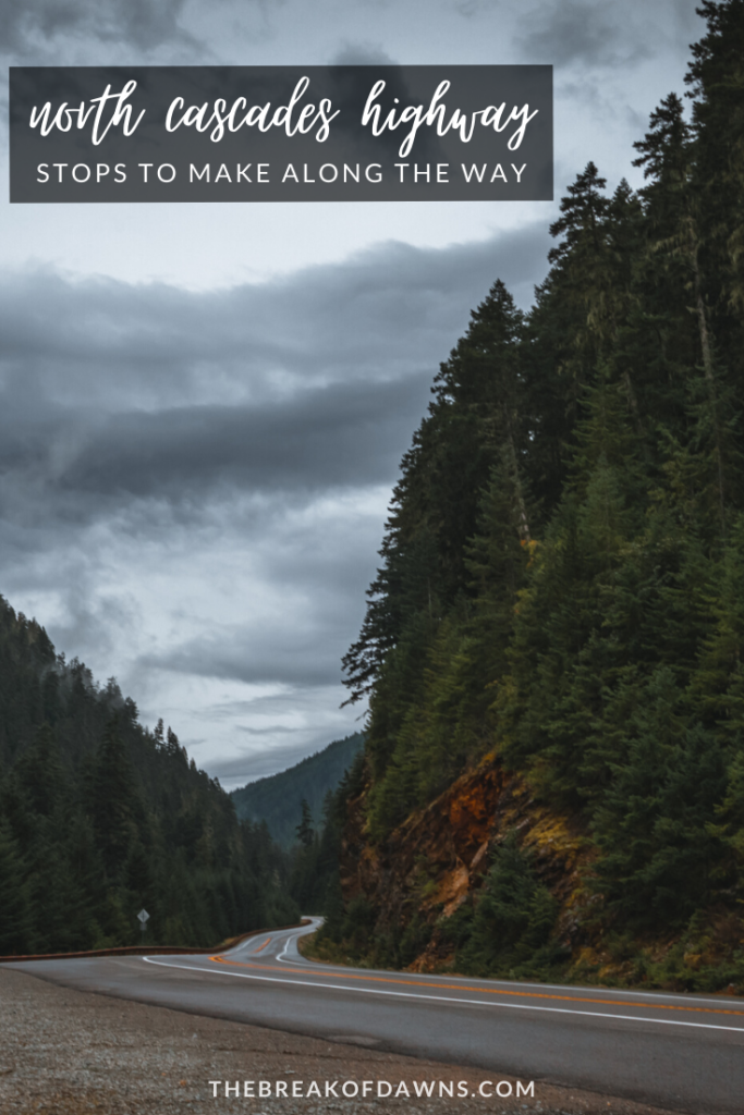
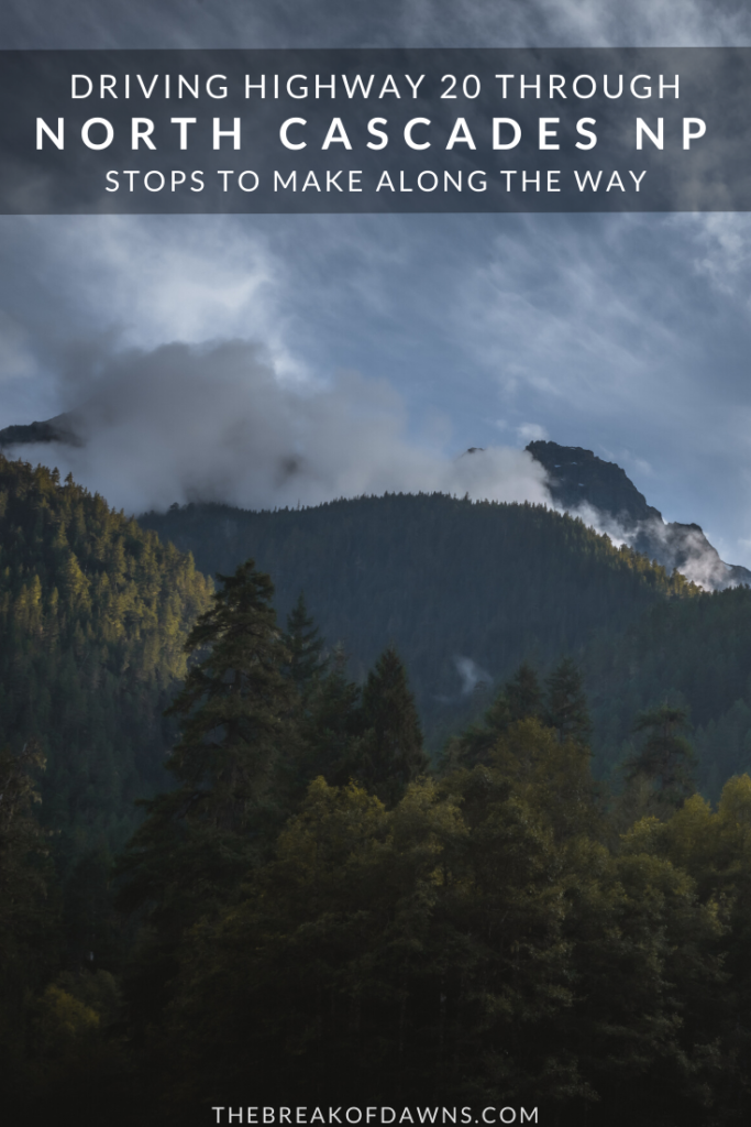
My dad once told me about his experience riding a motorcycle down the North Cascades Highway. He described a road winding through mountains lined with pine trees, rising so high in the sky that clouds passing through were constantly interrupted. I knew at that moment this was a place I’d want to visit and I was surprised to learn that some of the best areas in the park are accessible just by driving the North Cascades Highway.
About the North Cascades Highway
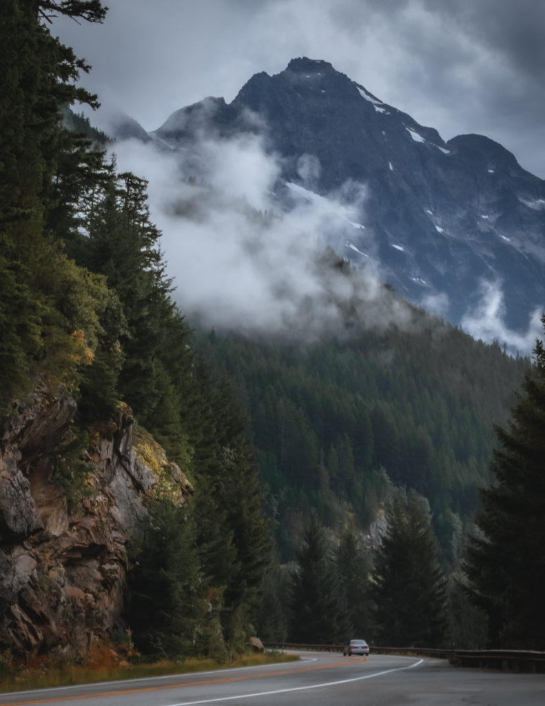
The main road that cuts through North Cascades NP is called Highway 20 or North Cascades Highway. Running 57 miles within the park boundary, it features some of the best views in the Pacific Northwest.
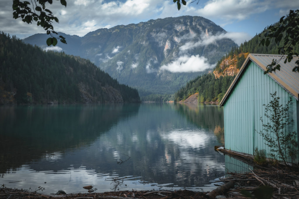
Constructed in 1972, the beginning of the journey travels parallel with the Skagit River. Eventually it passes over 2 separate dams while displaying views of Diablo Lake and Ross Lake. The highest point on the North Cascades Highway reaches nearly 5500 feet at Washington Pass, the end of our journey.
Driving the North Cascades Highway
Beginning from the east side of North Cascades National Park near Marblemount, I’ll transport you through the beauty of driving the North Cascades Highway while pointing the various stops to make along the way.
Check the current road conditions for North Cascades Highway here
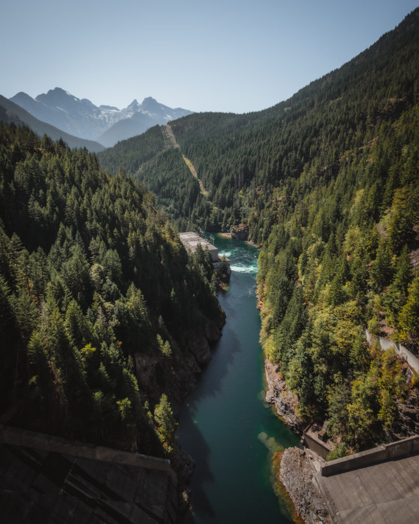
Marblemount
Marblemount acted as our hub for the week while we explored North Cascades National Park. Just a mile off the highway here we can find a Ranger Station where backcountry permits and information can be acquired. The town of Marblemount itself has a limited number of options for lodging, camping and food. It’s also a good place to gas up the car before driving the North Cascades Highway.
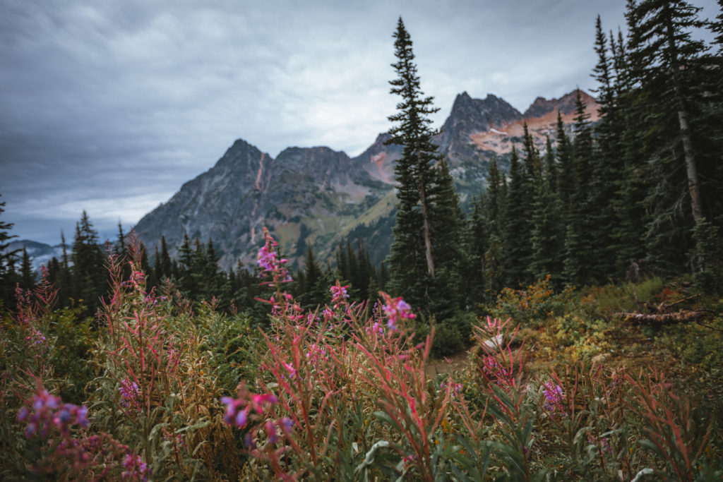
Just a few miles down the road from Marblemount is Bacon Creek Road, a fun backcountry road that also acts as a great car camping spot. In another 6 miles we reach the rough Thornton Lake Road. If you’re looking for an epic day hike or overnight backpacking experience, this is one of the best trails in the park.
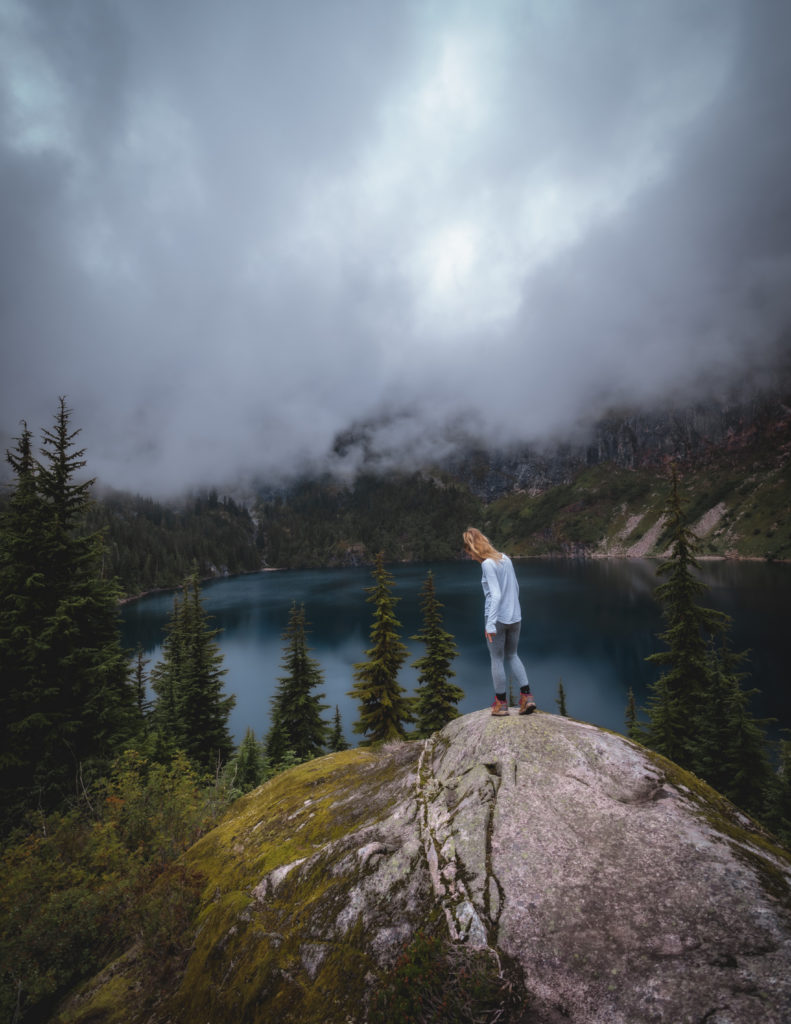
Newhalem
Less than 3 miles down the road from here is Newhalem, home to the main Visitor Center for North Cascades National Park. You can find campgrounds here at Goodell Creek or Newhalem Creek and the town of Newhalem itself has a general store with limited food options. Make a stop at the Trail of Cedars, Ladder Creek Falls and the Gorge Powerhouse reflecting in the Skagit River.
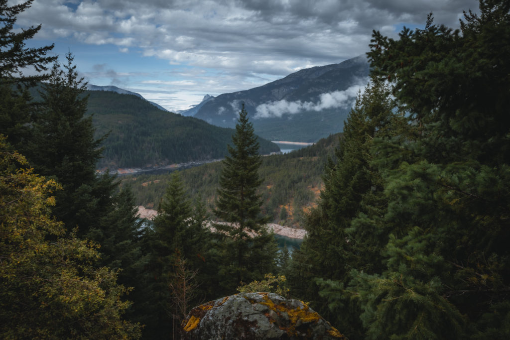
In the next 10 miles from Newhalem to our next stop, the road begins to climb in elevation. We’ll pass under 2 different tunnels carved into the mountains while also accessing the Gorge Creek Falls and the Gorge Overlook Trail. The Skagit River begins to open up into the Gorge Lake which will run us directly into Diablo.
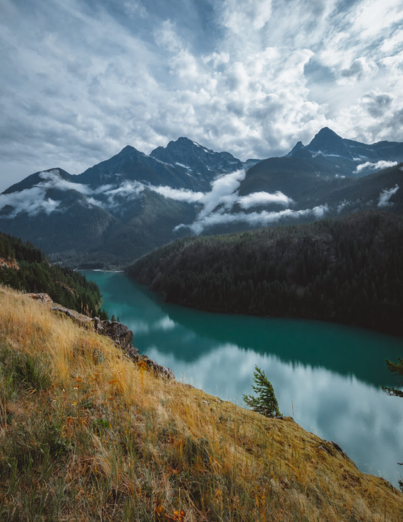
Diablo
Arriving to a bridge that crosses over Gorge Lake, we’re now in Diablo. On the first road before the bridge, find the Gorge Lake Campground, Sketattle Creek Trail and the popular Sourdough Mountain Trail. Coming back to North Cascades Highway and over Gorge Lake, we’ll pass by the Pyramid Lake Trail.
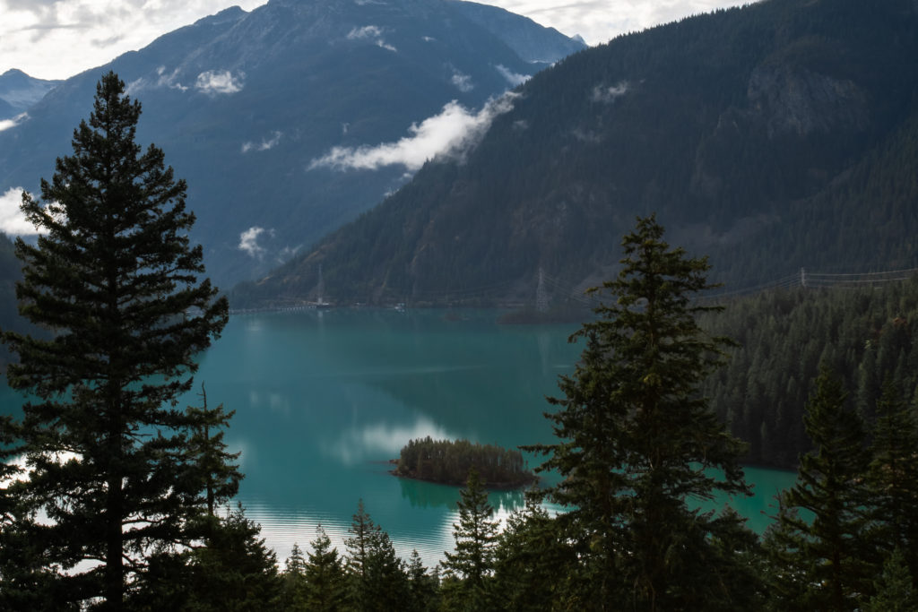
Diablo Dam
A half mile down the North Cascades Highway, we come to the turn off for Diablo Dam Road. Along this dead-end route that drives over the Diablo Dam, we get our first glimpse of the vibrant color of Diablo Lake. Along Diablo Dam Road, find the ferry service over to Ross Lake Resort, the Diablo Lake Trail and the North Cascades Environmental Learning Center.
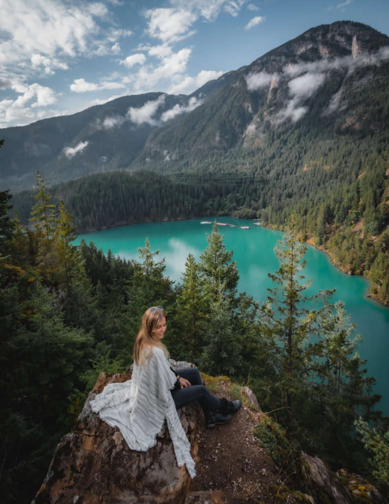
Diablo Lake
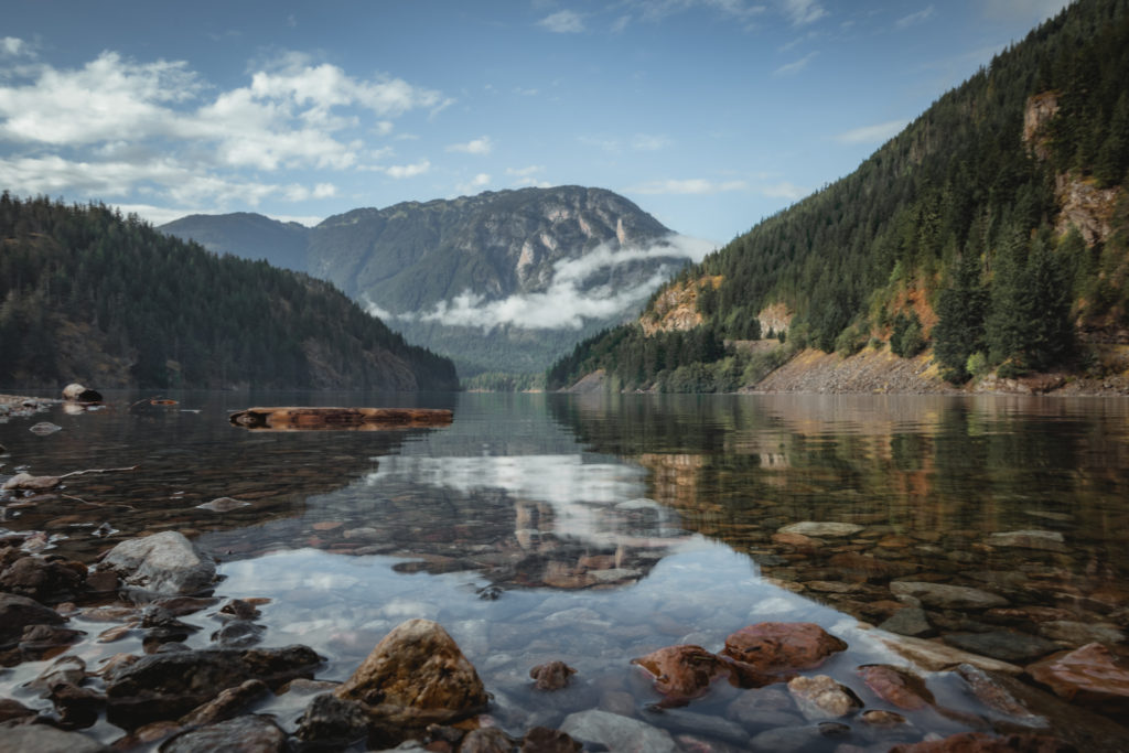
Hopping back on the North Cascades Highway, we’re only about 3 miles away until we reach one of the most stunning portions of the drive. Before the next bridge crossing, pull off at the lot near the lake to access the Colonial Creek campground and the Thunder Knob and Thunder Creek trailheads. For some of the most picturesque views in the park, walk down to the lakeshore, visually capturing the reflection of the mountains in the lake below.
Driving on the bridge over Thunder Arm, stop at the Diablo Lake vista point for the most breathtaking cascading view in the entire park. The incredible color of Diablo Lake appears starker with the contrast of the forested environment around it.
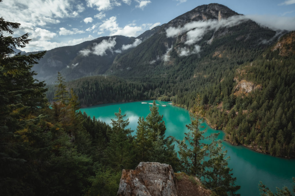
Just past the vista point, Diablo Lake narrows dramatically. North Cascades Highway continues to run parallel with the water until we arrive to a large parking area home to the Ross Dam and where Ross Lake begins.
Ross Dam
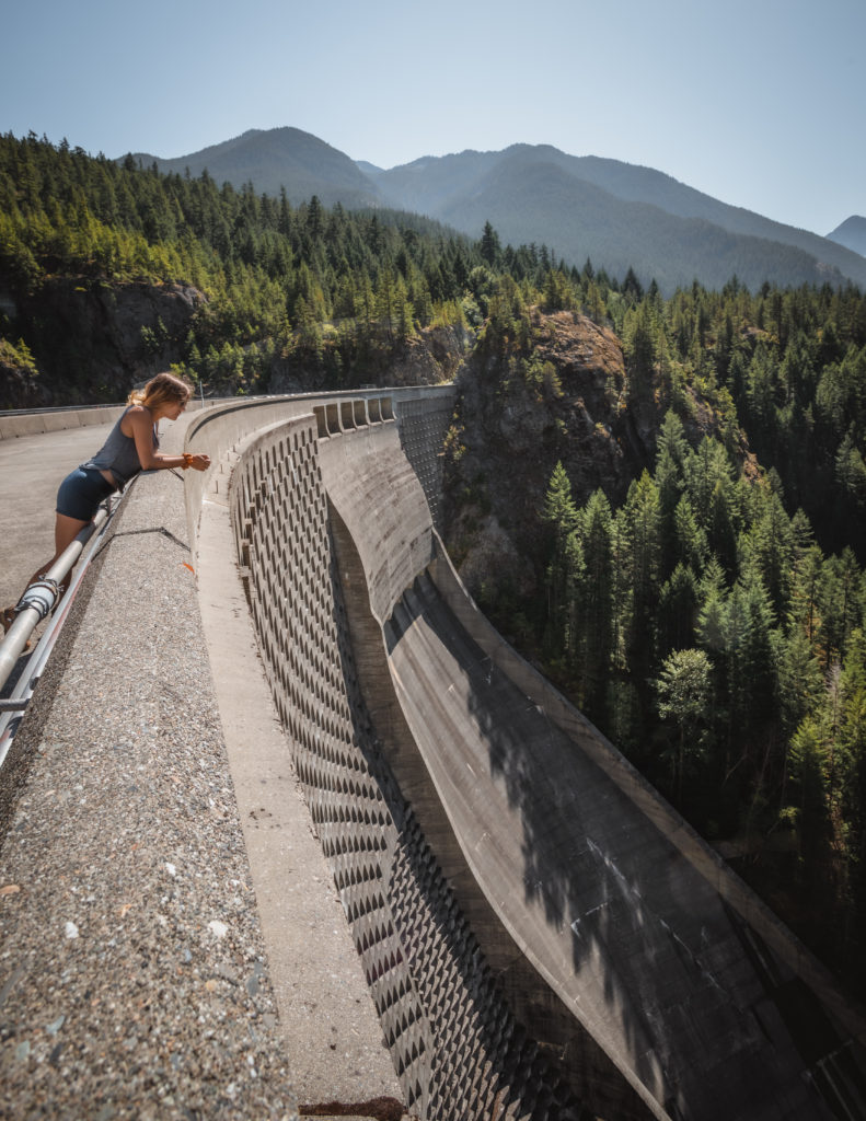
A number of trails are accessible from this parking area but if you’re short on time, consider hiking the short route down to Ross Dam. Just beyond the dam is the Ross Lake Resort, only accessible by hiking or by boat. If you’re looking for an overnight backpacking trip, the hike to Green Point camp via this route is the easiest in the park.
Read More: Backpacking to Green Point

Accessible Trailheads
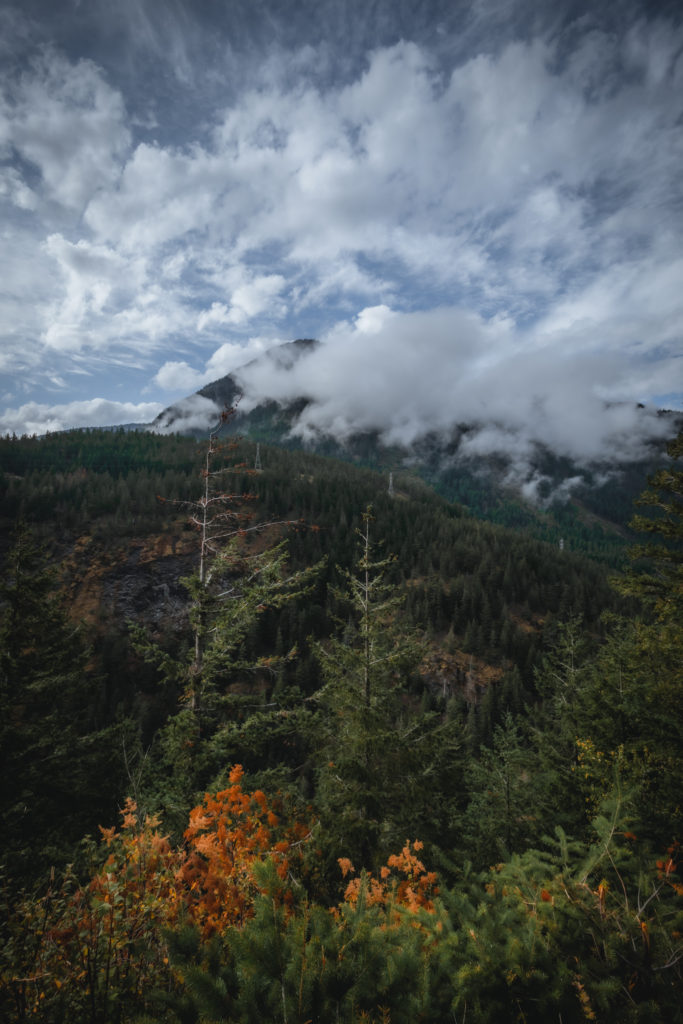
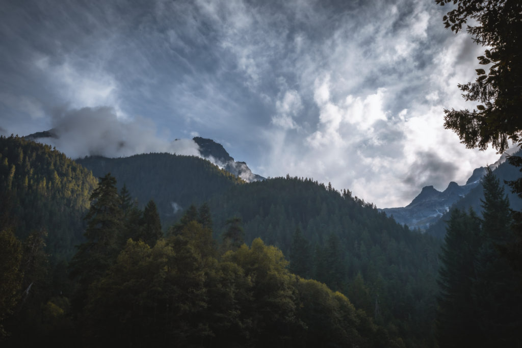
A little further down the road from Ross Dam is the Happy Creek Trail and the Ross Lake overlook. The road runs parallel with the water of Ruby Arm and exits the Ross Lake National Rec Area. Heading back into the thick trees of the Okanogan National Forest, we pass by the East Bank and Canyon Creek trails. As the elevation of the North Cascades Highway rises, the forest environment transforms from dry to wet due to its location in the Cascade crest. Don’t be surprised if the clouds become thicker and the sun is replaced by rain as you keep driving.
Rainy Pass
Some of the park’s most beautiful mountain peaks come into sight along the next 15 miles of the drive. Before long, we’ll be at over 4600 feet in elevation at Rainy Pass. This area of the park offers the best day hike in the North Cascades, the Maple Pass Trail. If you’re short on time, hike the half mile out to Rainy Lake. Other noteworthy trailheads here are the PCT and Cutthroat Pass.
Read More: The Best Day Hike in North Cascades NP
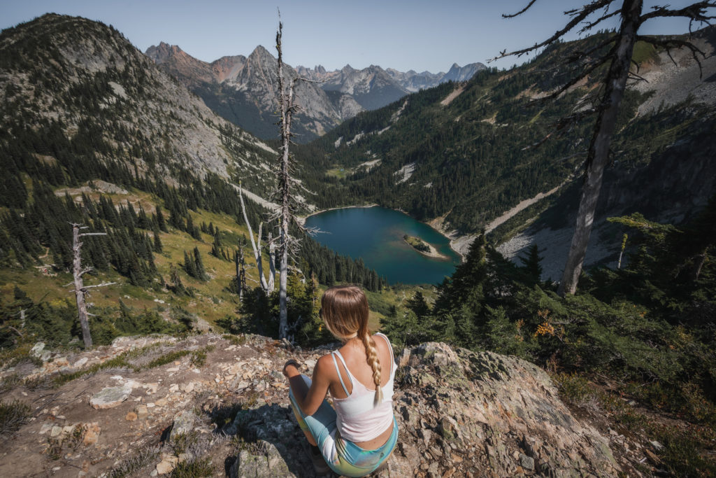
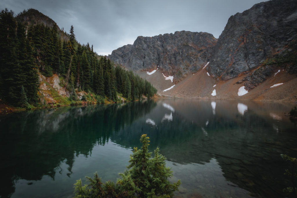
A short distance down the road from Rainy Pass is access to the Bridge Creek Trail. Not much further is parking for the best short hike in the entire park, the trail to Blue Lake.
Read more about the short hike to Blue Lake here
Washington Pass
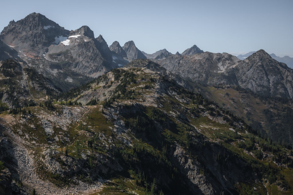
After leaving Rainy Pass, we lose a bit of elevation before we begin the final ascension. Doubling at the highest point on the highway and the end of our journey, we reach Washington Pass. Standing at nearly 5500 feet above sea level, we get an outstanding final view of North Cascades National Park.
While exploring North Cascades, please be mindful of the “Leave No Trace” principles.
Read More: Leave No Trace: The 7 Rules of the Backcountry
Learn more about Leave No Trace on their website here.
Like This Post? Pin It!

| This post contains affiliate links. At no extra cost to you, if you purchase one of these products I may receive a small commission. This helps me maintain my blog as a free space to you. Check out my Disclaimer for more info.

