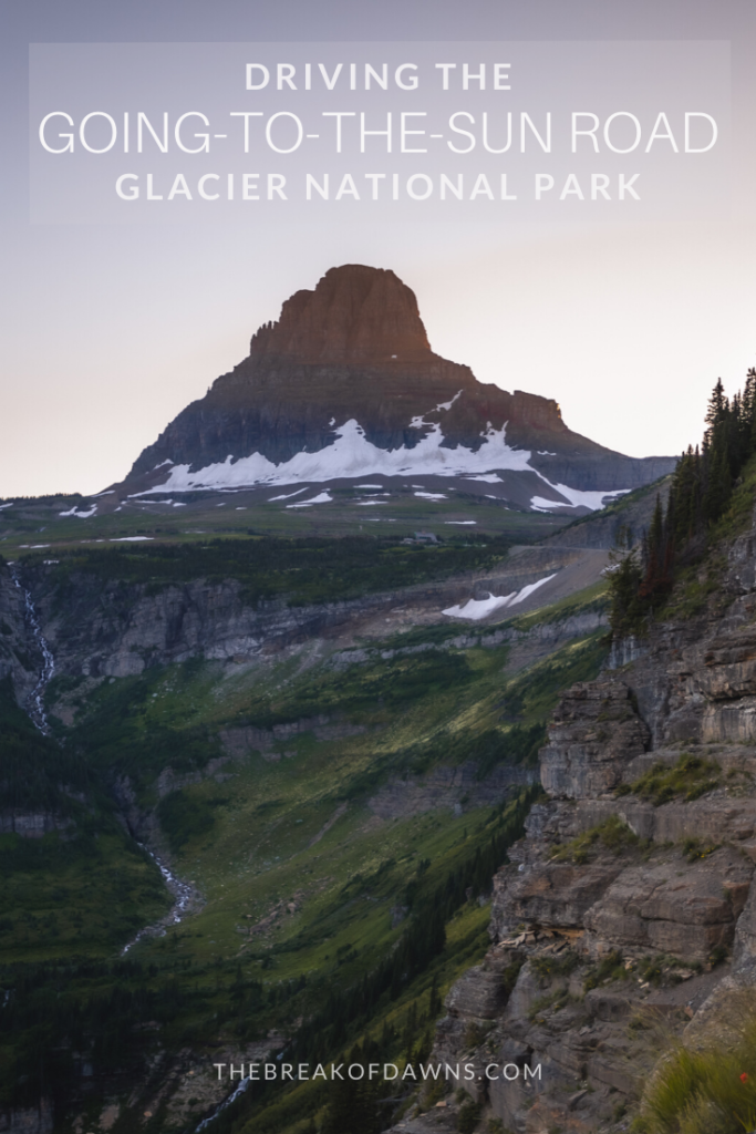
As an avid Harley rider, my dad has embarked on every epic road throughout the U.S. On his visit to Montana a few years back, he sent me pictures of this winding road rising thousands of feet above the mountains and valleys below. I was absolutely in awe at how majestic it appeared, knowing at that time I had experience driving the Going-to-the-Sun Road in Glacier National Park myself.
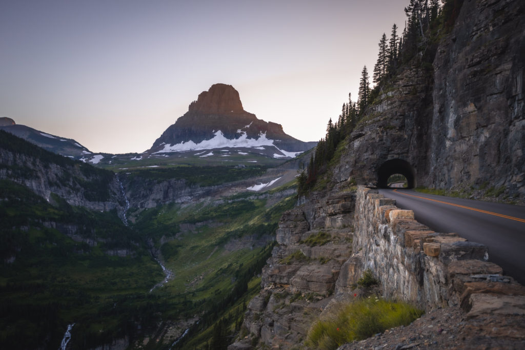
About the Going-to-the-Sun Road
When Glacier became a National Park in 1910, only a few miles of rough wagon roads existed. Within a couple of years, a proposal arose for a “transmountain highway.” Supporters wanted visitors to experience the best of Glacier National Park without relying on the expensive southern railroad. Beginning construction in the early 1920s, the Going-to-the-Sun Road was finally completed in 1932. It left a lasting imprint on Glacier NP as its 50 miles now bisected the heart of the park.
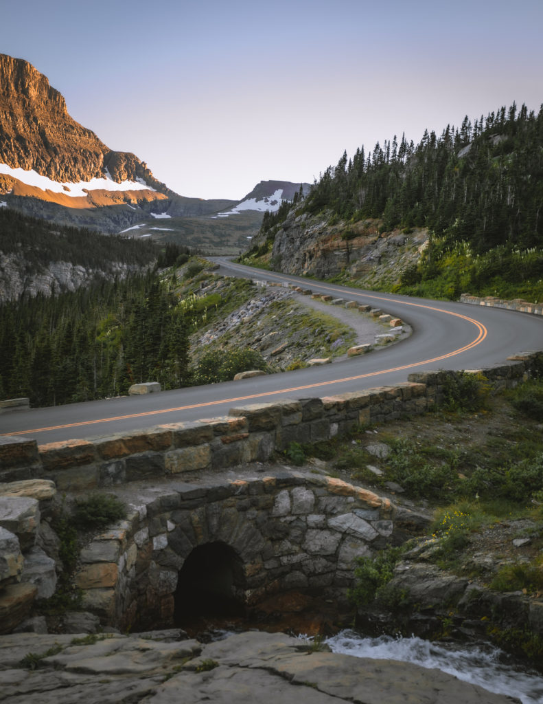
What Makes the Going-to-the-Sun Road Unique?
Beings it is the only route that cuts through Glacier National Park, driving the Going-to-the-Sun Road is such an incredible experience. Crossing the Continental Divide at 6,646 feet, this straddle on the Divide makes this area prone to extreme weather as the Pacific and Arctic airs collide.
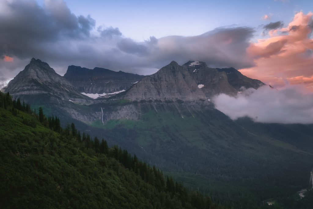
Driving the Going-to-the-Sun Road in Glacier National Park is the best way to see exactly what this area has to offer. Winding through nearly every type of terrain, it offers unobstructed views of lakes, snowy peaks and forested valleys thousands of feet below. Mountain goats and big horn sheep make their appearance along the vast expanse, even feeding along the road.
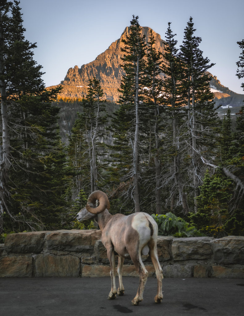
Multiple scenic viewpoints, pullouts, trailheads and points of interest exist along the Going-to-the-Sun Road, making it a unique drive for everyone who experiences it. In 1983, the road was the first and only placed on the National Register of Historic Places and dubbed a National Historic Civil Engineering Landmark in 1985.
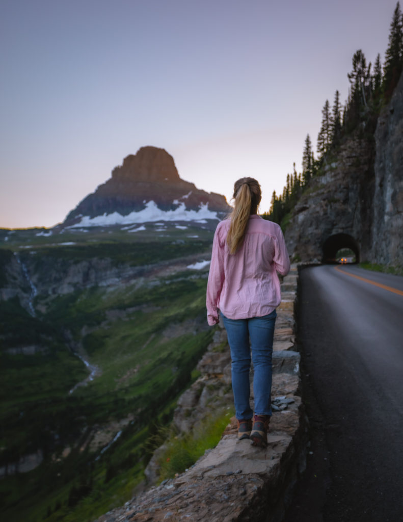
Info for Driving the Going-to-the-Sun Road in Glacier National Park
- Without stopping, it takes at least 2 hours to drive the full 50 miles of Going-to-the-Sun Road.
- The entire road doesn’t open for the year until snow has melted, which is usually towards the end of June. Expect the full length to be closed in early October.
- Portions of the road may close due to weather.
- To drive the entire stretch, vehicles can’t be longer than 21 feet or more than 8 feet wide.
- Beginning July 1 through September, a Shuttle System offers free transportation to various stops. Read more about the shuttle system and stops here.
- If you aren’t keen on driving, consider taking the Red Bus Tour to sit back, relax and enjoy the views!
Be sure to check the National Park’s website here for any alerts on road closures.
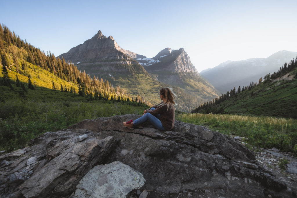
Stops on the Going-to-the-Sun Road
Not only is the Going-to-the-Sun Road’s 50 mile stretch home to multiple vistas and view points, it’s your portal to diving deeper in Glacier’s wilderness. While it may only be 50 miles long, I highly recommend spending an entire day exploring the stops along the route.
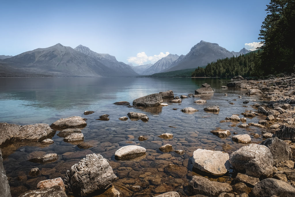
Lake McDonald
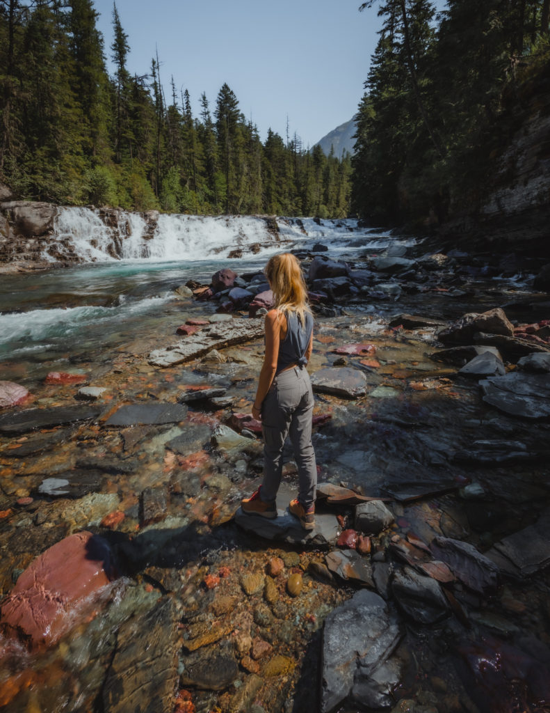
Shortly after departing from Apgar Village, the entrance on the west ide of the park, you’ll begin running parallel with Glacier’s largest body of water, Lake McDonald. This 10 mile long pristine lake is a photographer’s dream with the colorful pebbles appearing under the crystal-clear water.
Avalanche Creek & Trail of the Cedars
Just past Lake McDonald, the cascading waterfalls begin with Lake McDonald Falls and the John’s Lake Trail. Avalanche Creek runs perpendicular into the Going-to-the-Sun Road where the Trail of the Cedars appears. Western Red Cedar, Black Cottonwood and Western Hemlock trees can be found here, some as old as 500 years. As these trees are normally found in the Pacific Northwest, Glacier is the furthest east to see them.
West Tunnel
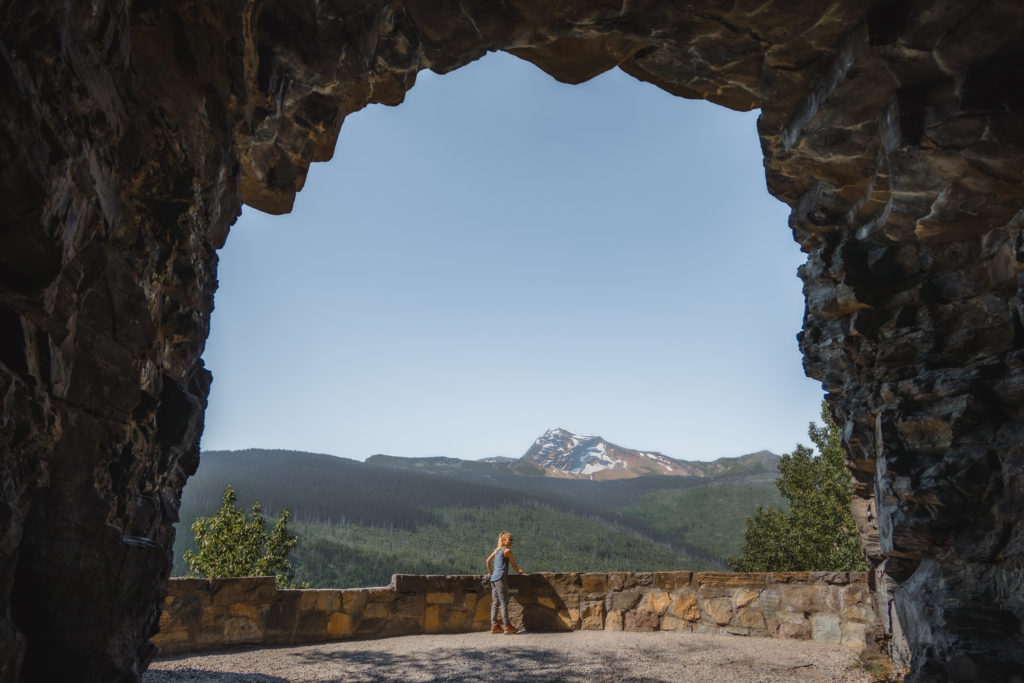
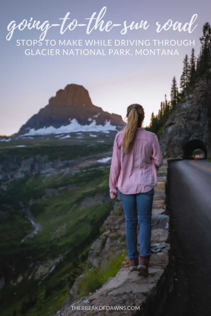
One of my favorite stops on the Going-to-the-Sun Road is the west tunnel. At 192 feet long, it’s the shorter of the two mountain cut-offs on the road. The west tunnel has windows in it for unobstructed views of Lake McDonald Valley and a sidewalk along the inside for pedestrian accessibility.
The Loop
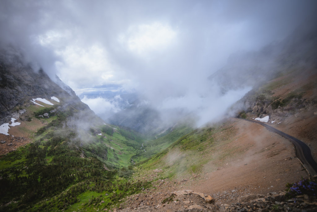
The original proposition for the main climb of the Going-to-the-Sun Road included 15 different switchbacks leading up to Logan Pass. After much consideration and survey work, a solution for the elevation gain was found. Thus only one switchback was created in the end, now called ‘The Loop.’
With dramatic views of the 9,000 foot Heaven’s Peak on one side and the climbing burnt forest on the other, The Loop is a top stop along the Going-to-the-Sun Road. It’s also the perfect place to embark on some of Glacier’s most popular hikes, like to the Granite Chalet and on the Highline Trail.
Haystack Falls & Weeping Wall
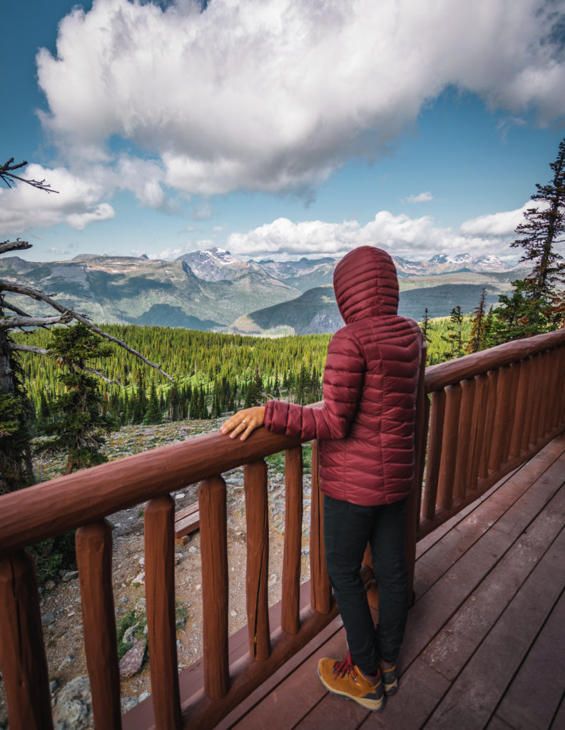
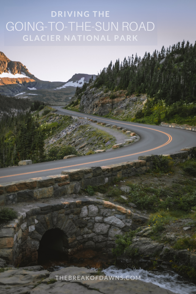
One of my favorite areas of the Going-to-the-Sun Road is Haystack Falls. The waterfall begins towards the top of the ridge and passes under the road, showing just how meticulous the builders had to be. Not far from here is the Weeping Wall which gushes water down due to the ice melt above.
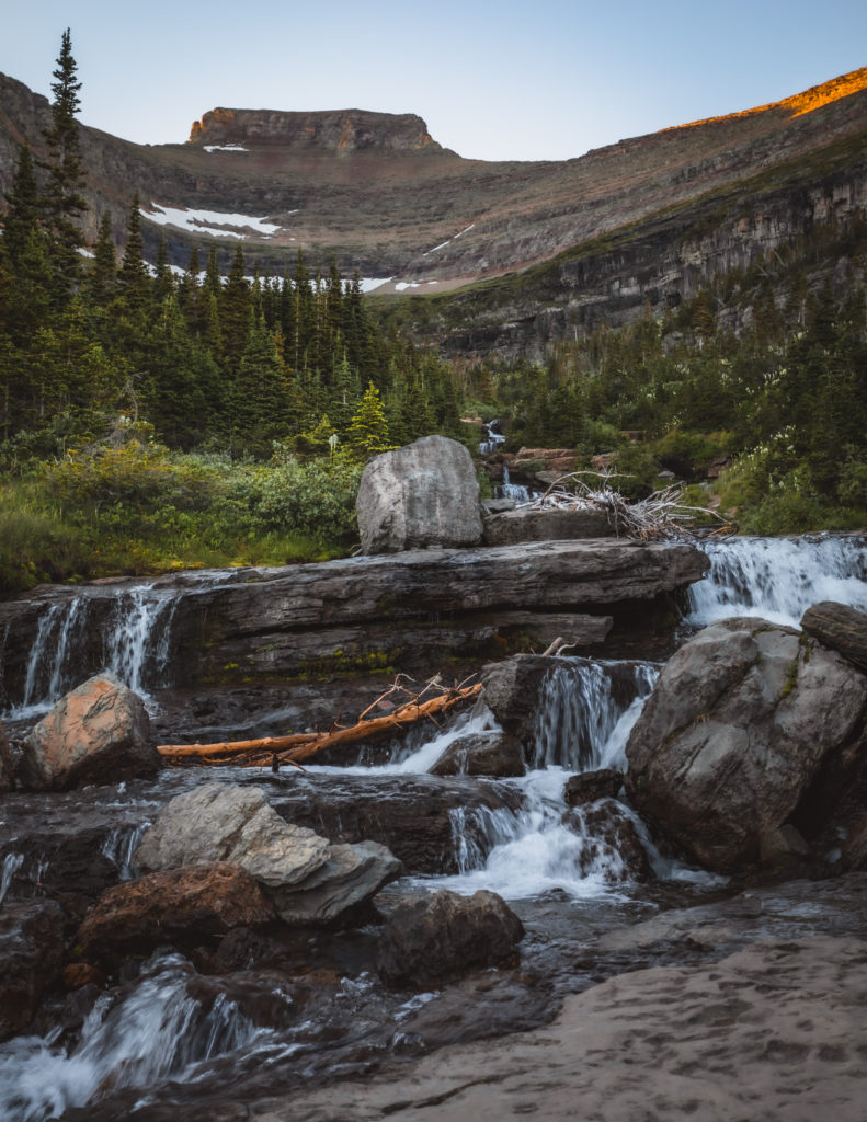
Big Bend
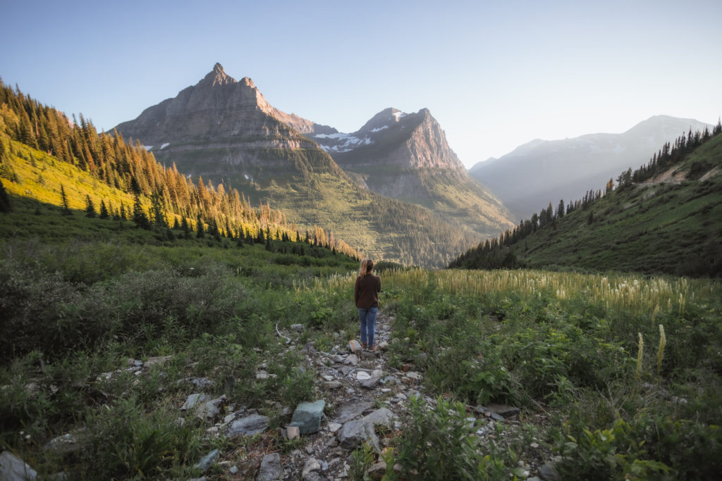
If you’re looking for up close and personal views to a former glacier, the Big Bend stop is for you. A small meadow presents itself, popping with vivid wildflowers and creating the perfect forefront to those epic glacial views in the distance.
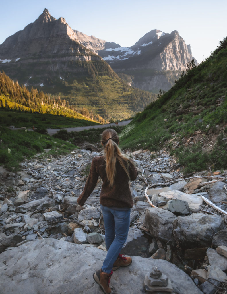
Logan Pass
Logan Pass is built on top of the Continental Divide. It sits at the highest elevation on the Going-to-the-Sun Road at 6636 feet. Along with a visitor center, find the Hidden Lake Trail and the Highline Trail here, Glacier’s most popular hikes.
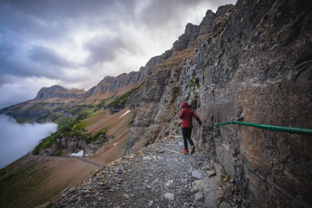
East Tunnel
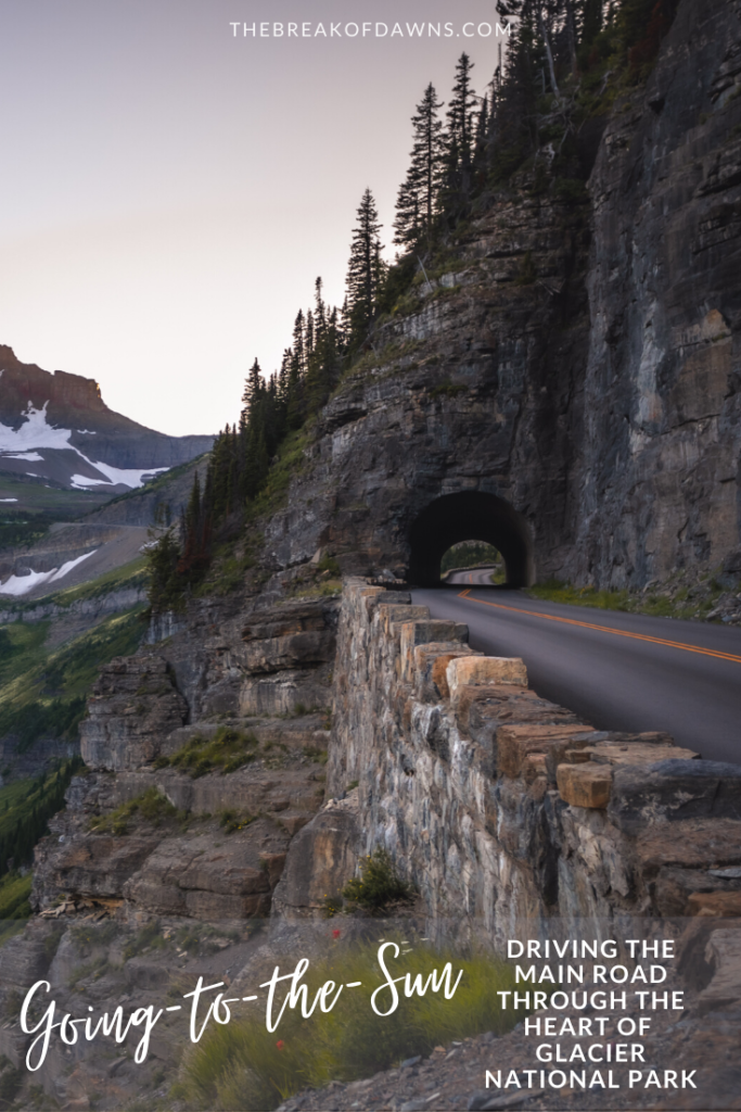
Perhaps the most impressive engineering feat of the entire road is here at the East Tunnel. At 408 feet long, it’s the lengthiest tunnel in Glacier. The East Tunnel was also the most tedious area to construct in the 1930s. Power equipment was impossible to bring in so workers had to excavate the tunnel almost completely by hand. Using small blasts of dynamite to prevent damage to the mountain, contractors could impressively drill 5 feet 4 inches every day.
Read more about the incredible engineering feat of the Going-to-the-Sun Road here
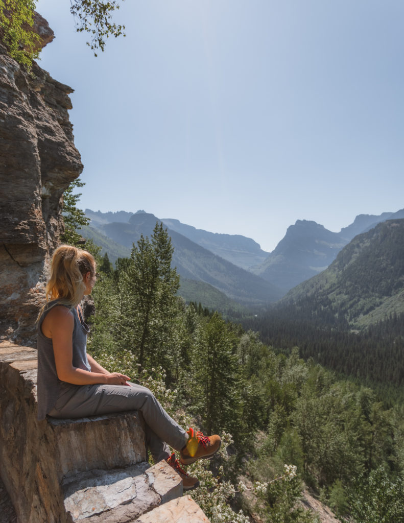
Jackson Glacier Overlook
To see the remaining 25 active glaciers here in the park, you’ll have to dive into the backcountry, except for here at Jackson Glacier Overlook. On top of Mount Jackson in the distance, Jackson Glacier is the fourth-highest peak in the park at 10,052 feet.
At the end of the Little Ice Age around 1850, Glacier NP had 150 glaciers. Today, there are only around 25 glaciers left. Not only do shifting climates play a factor but the glaciers here in the park stand at a lower elevation than most in the world, making them more susceptible to the warm elements.
Sunrift Gorge
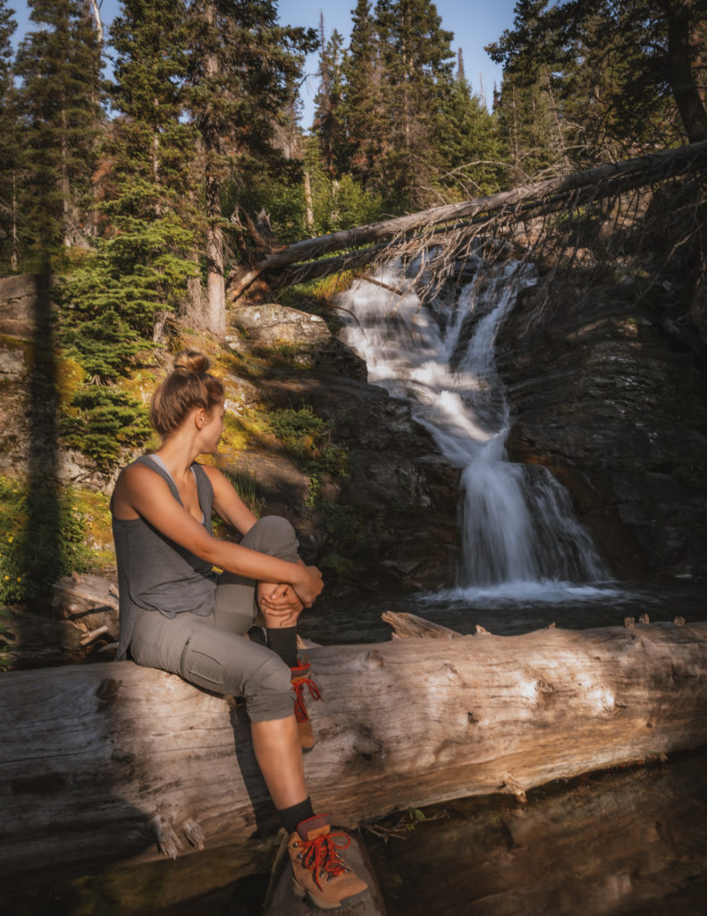
Just beyond the glacier overlook is your waterfall stop for the day. You won’t have to wander far into the woods to see the most magical flows of water. Access the Sunrift Gorge, Baring Falls, Virginia Falls and Saint Mary Falls from this parking area.
Wild Goose Island Lookout
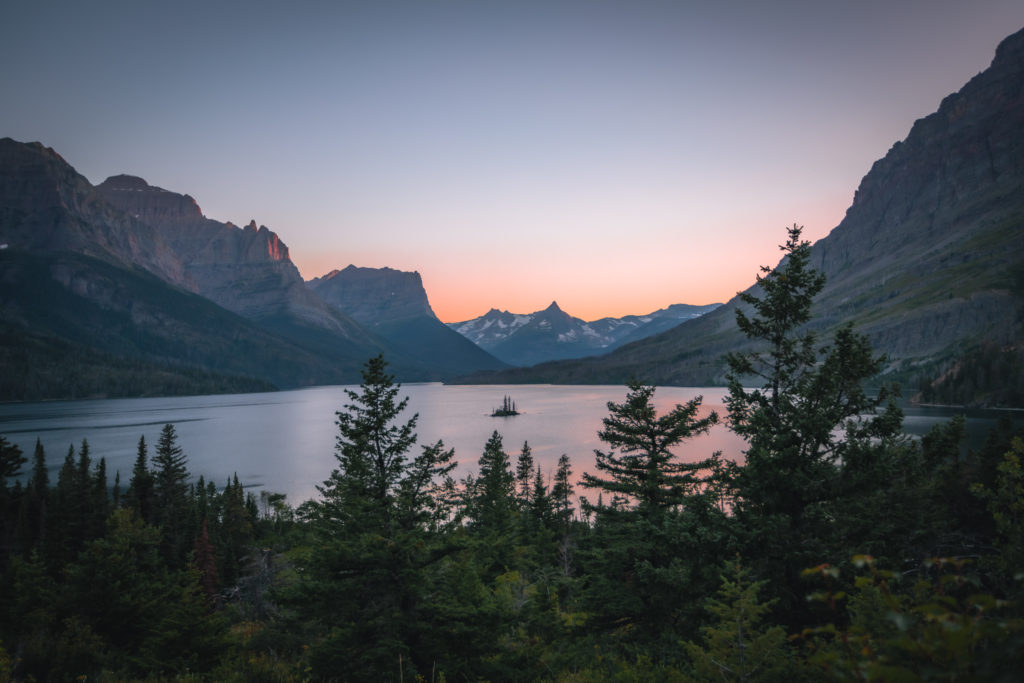
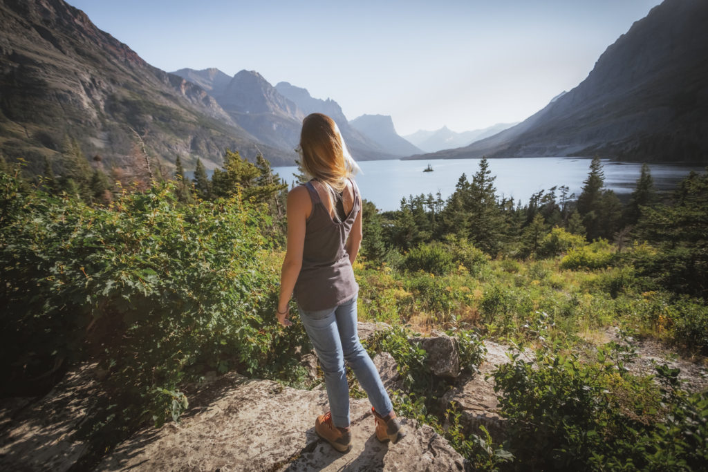
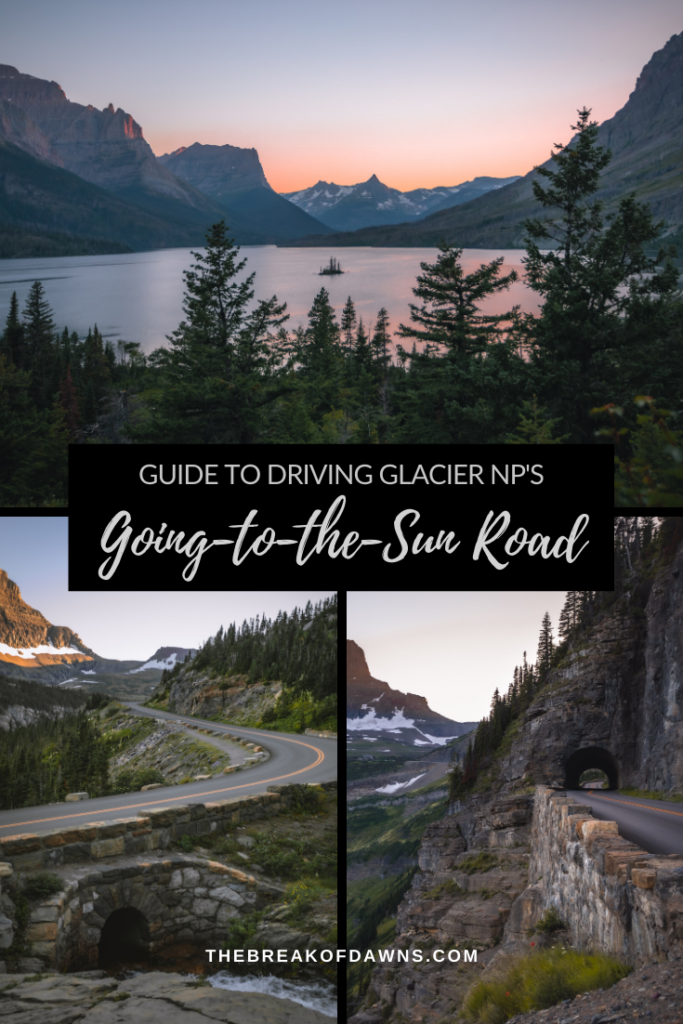
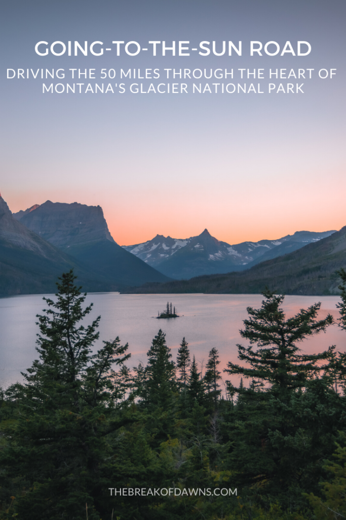
Possibly the most photographed spot in Glacier National Park is the Wild Goose Island lookout on Saint Mary Lake. Rich in Native American folk tales and mountains rising more than 4000 feet, this photo is the view I imagine when I think of Glacier National Park.
Saint Mary
At the end of the 50 mile journey, you’ll wind around Saint Mary Lake and into the small village center. Stock up on snacks, refill the tank and make a 180-degree turn to head back down the Going-to-the-Sun Road. Because, let’s face it, who doesn’t want to do that epic drive again?!
Like This Post? Pin It!

| This post contains affiliate links. At no extra cost to you, if you purchase one of these products I may receive a small commission. This helps me maintain my blog as a free space to you. Check out my Disclaimer for more info.


STOP! you make me want to book a flight and make this drive ASAP 🙂 the pictures are gorgeous!
This place is totally a dream!! Take me back NOW! Hope you get the chance to visit someday!