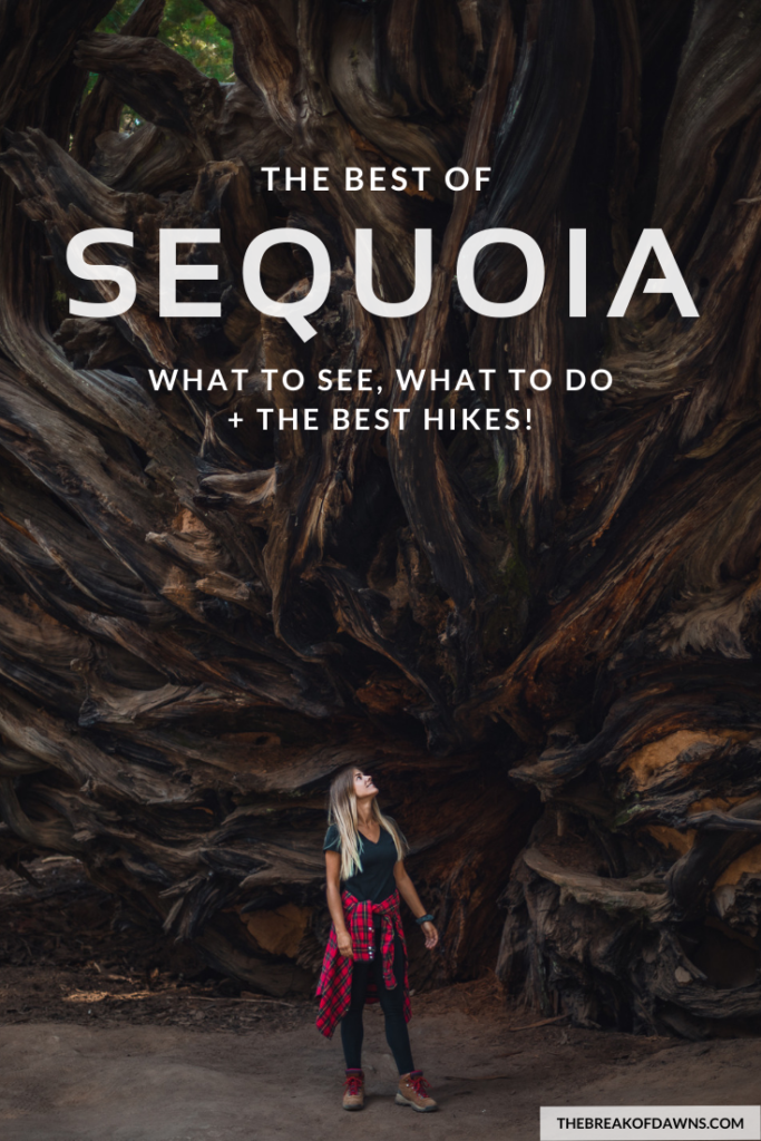
Known for the iconic Giant Sequoia trees that rise above in a cathedral-like grove, Sequoia National Park is a must-see for all travelers alike. With more than 400,000 acres in the park, it’s hard to decide what exactly is worthy of your time.
Want to visit Kings Canyon on your visit too? Check out my blog post here on how to see both National Parks in a day.
Sequoia is essentially split into three sections: the Foothills, Mineral King, and the Giant Forest, with each area offering multitudes of ways to spend your day. I’ve narrowed down the sites in Sequoia that you shouldn’t miss on a visit, as well as the best hikes!
Giant Forest
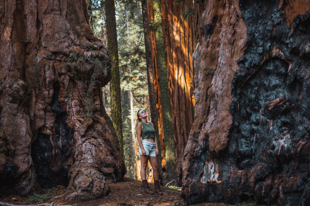
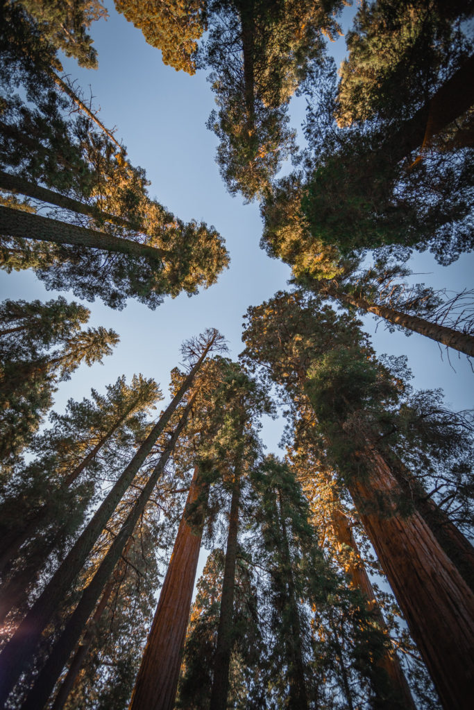
Beginning with the most popular area in Sequoia, the Giant Forest is where the park gets its name. Enormous trees dominate every inch of the landscape that almost all sunlight is blocked out. The Giant Sequoias are so incredibly unique, they can’t be found anywhere else in the world.
To navigate around the top sights in the Giant Forest, consider parking at the Giant Forest Museum and using the shuttle.
Giant Forest Museum
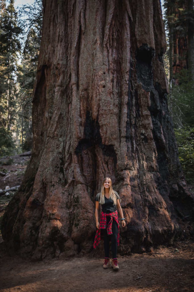
Speaking of shuttles, this is exactly where you’ll hop on it. Stop in at the Giant Forest Museum for exhibits and information on Sequoia trees, open daily from 9 AM – 6 PM.
Big Trees Trail
Before hopping on the shuttle, check out the 0.75 mile paved loop trail that winds you through some of the biggest Sequoias in the park.
Moro Rock
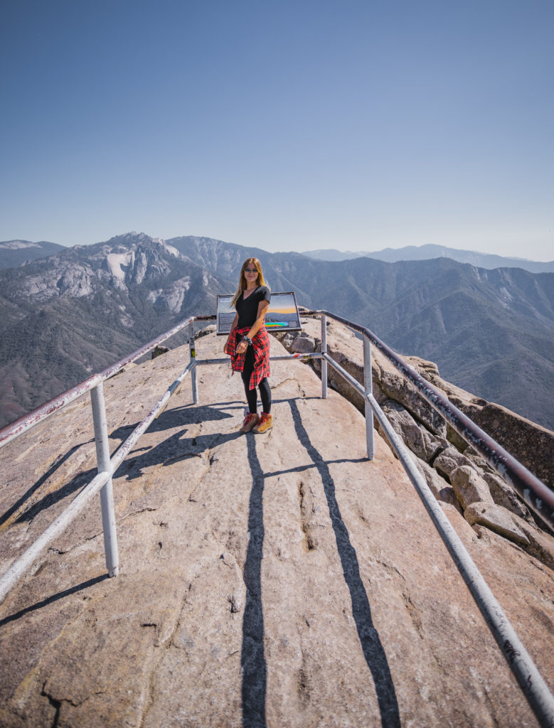
Probably my favorite spot in all of Sequoia National Park is the granite dome of Moro Rock. A steep staircase-like climb that elevates over 300 feet in 0.25 miles, it’s a heart-pumping trek that will be the highlight of your time in Sequoia.
Read More: Climbing Moro Rock in Sequoia National Park
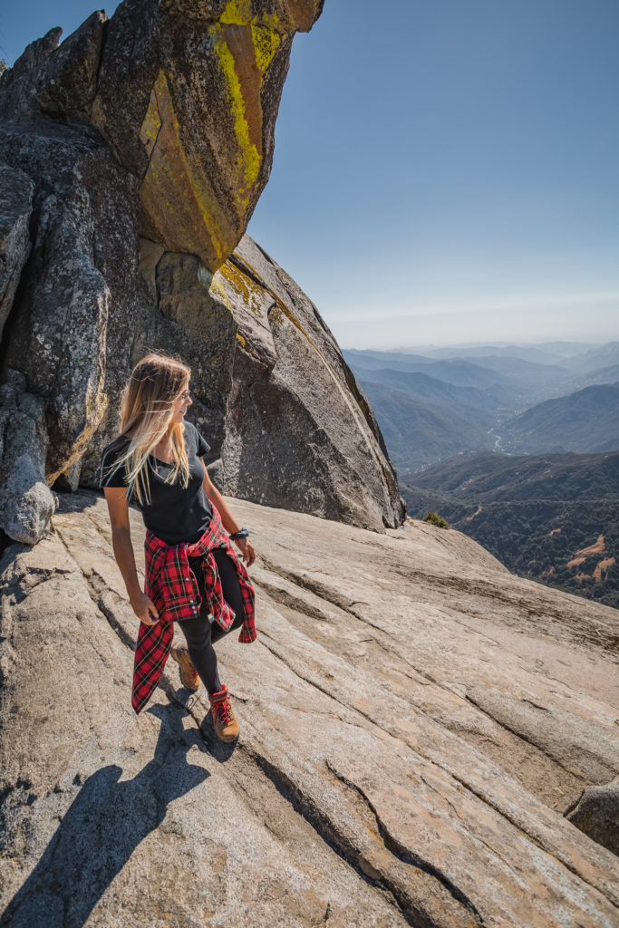
Crescent Meadow
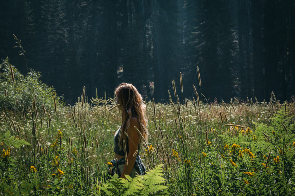
The most fragile wetland in all of Sequoia, Crescent Meadow has multiple trails leading in to various parts of the park. Take a 1 mile hike to Tharp’s Log, a cabin that was built into a fallen Sequoia tree. If you’re feeling extra adventurous, embark on a multi-day backcountry hike on the High Sierra Trail, ending 60 miles later at Mount Whitney, the highest peak in the lower 48.
Tunnel Log
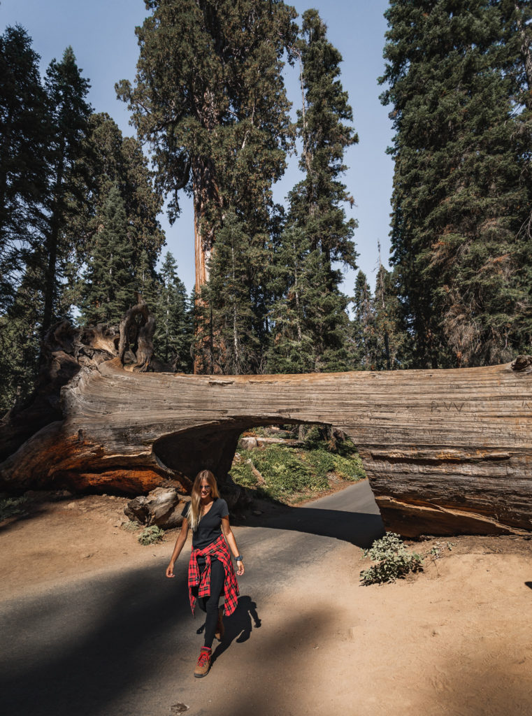
Now the only drive-through tree in Sequoia, driving under the Tunnel Log used to be the only route option to get to Crescent Meadow. With today’s modernized vehicles like massive SUVs and trucks, a bypass was created for those to get around it.
The shuttle from Moro Rock to Crescent Meadow doesn’t stop at the Tunnel Log so you’ll have to hike to it. Following the road from Crescent Meadow, you’ll arrive at the Tunnel Log in 0.7 miles.
Crystal Cave
Hike the steep 0.5 mile trail to the Crystal Cave where you’ll discover chambers decorated with stunning formations and rare minerals. Tours for the Crystal Cave operate from May 25 – August 26. Tickets can be purchased online here 48 hours in advance or day of at the Lodgepole or Foothills Visitor Center.
The General Sherman Tree
Possibly the most famous part of Sequoia National Park is the General Sherman Tree. While it only stands at 274.9 feet tall, the volume of the base is 52,500 cubic feet, making it the largest tree in the world. It’s estimated to be about 2000 years old and, interestingly, the top of the tree is dead but the base continues to grow in size.
The main trail down to the General Sherman Tree is a 0.5 mile hike with many stairs. Parking near the trailhead is limited so your best bet is to park at Wolverton and take the shuttle.
Congress Trail
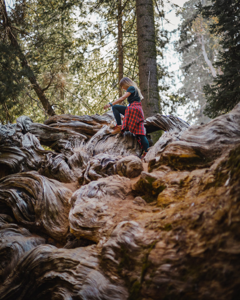
This trail begins at the Sherman tree and is a 2 mile loop that leads directly through the heart of the Giant Forest Sequoia Grove.
Wolverton
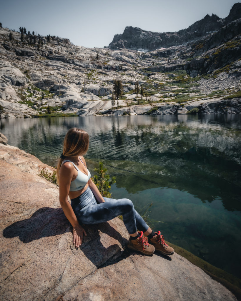
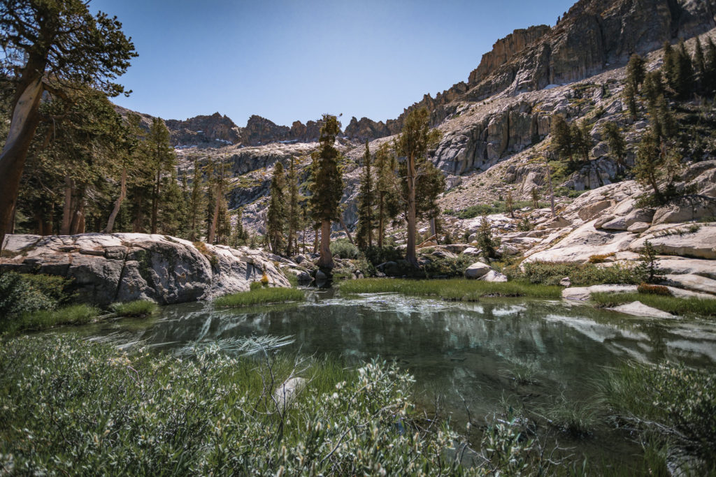
Looking for some worthy day hikes? The Wolverton area has many trails worth exploring. My personal favorite is the 13 mile Lakes Trail that will bring you to alpine lakes among granite peaks.
Read more about hiking the Lakes Trail here
The Foothills
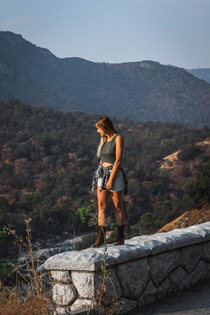
If you’re starting out from the entrance of Sequoia near Three Rivers following CA 198, you’ll begin winding up the road through the foothills of the park. The dry, hot summers in this area allow for an abundance of chaparral, a drought-resistant shrub adaptable to the fires that ravage through periodically. The low elevation in the Foothills hosts more different plants and animals than the rest of Sequoia combined.
The Foothills Visitor Center
Open daily from 8 am – 4 pm, the park store has multiple exhibits to learn about the type of vegetation and wildlife in the foothills. If you’re looking to do some backcountry camping, permits can be issued here as well.
Read More: Backcountry Camping Gear Guide
Marble Falls Trail
As you climb 3.7 miles uphill through the vegetation, you’ll be greeted with a beautiful waterfall. To access the trail, park at the turnout near the Potwisha campground and walk to site 14. There’s a dirt road across from the concrete ditch with the trail starting to the right.
Hospital Rock
Check out this area for exhibits about the Native California Indians, the Western Mono, who used to live in the area.
Paradise Creek
For another short hike, walk 0.6 miles to the Buckeye Flat Campground from the Hospital Rock picnic area. Take the path across from site #28 to cross the bridge over the Middle Fork. The trail runs parallel with Paradise Creek.
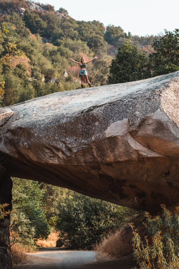
Tunnel Rock
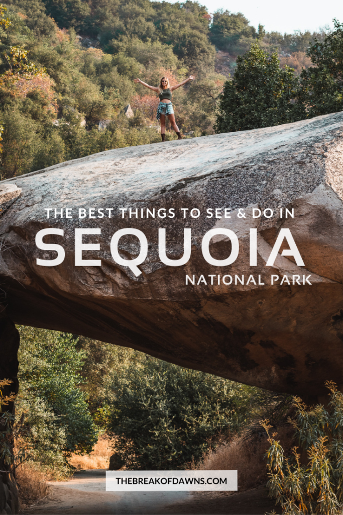
Just a mile and a half north of the Foothills Visitor Center is this flat granite boulder that sits on the edge of Generals Highway. Before the highway was widened in 1997, this was the only route to get through to the Giant Forest. Even though it’s closed to vehicles today, you can walk up to it to see how big it really is.
Mineral King
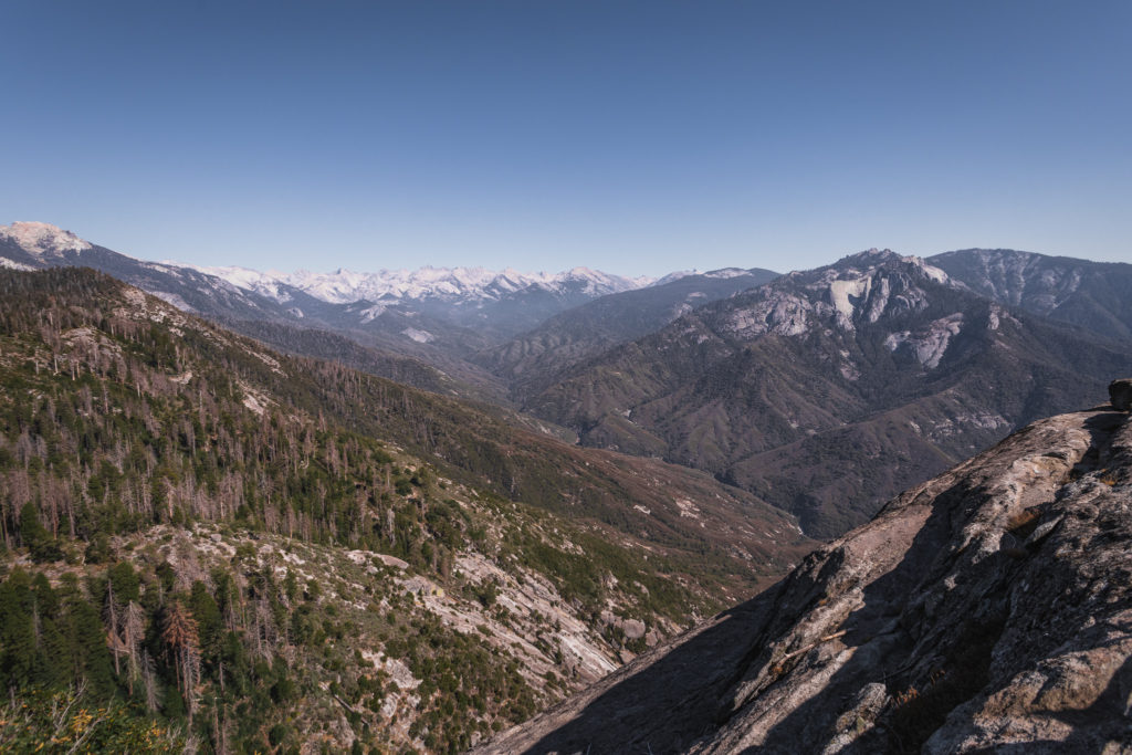
Located off of the main road of CA 198, this highland glacial valley will take you up to 7800 feet to the highest road in Sequoia National Park. The road to Mineral King closes from October 31 to late May and RVs and campers are not advised due to the steepness and sharp curves. After the first 10-15 miles after turning off of CA 198, you’ll reach the Lookout Point Entrance where you’ll pay the National Park entry fee if you haven’t already.
Atwell-Hockett Trail
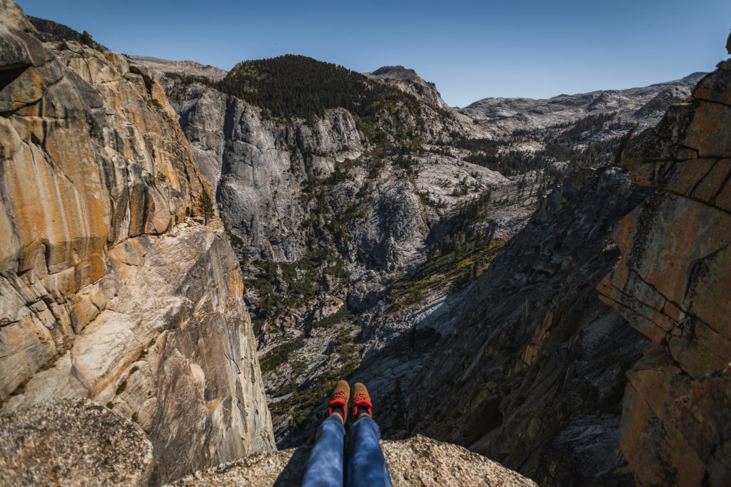
This 4.8 mile trail that winds through the Atwell Grove is a tough one with a 1270 foot elevation gain. I think it’s completely worth it though as you get to see the highest Sequoia grove in the entire park. Find the trailhead just past the Atwell Mill campgrounds on the south side of the road.
Paradise Ridge Trail
Just opposite of the Atwell-Hockett Trail on the north side is the Paradise Ridge trail, offering many different hiking routes. The first 0.5 miles ascends steeply through a forest with views of the Kaweah River and mountain peaks. It takes about 3 miles to reach the 8,500 foot ridge top where you have the choice to continue on different trails. The best option? Head westward on the left fork for 2 miles to reach the summit of Paradise Peak at 9,362 feet.
Silver City Resort
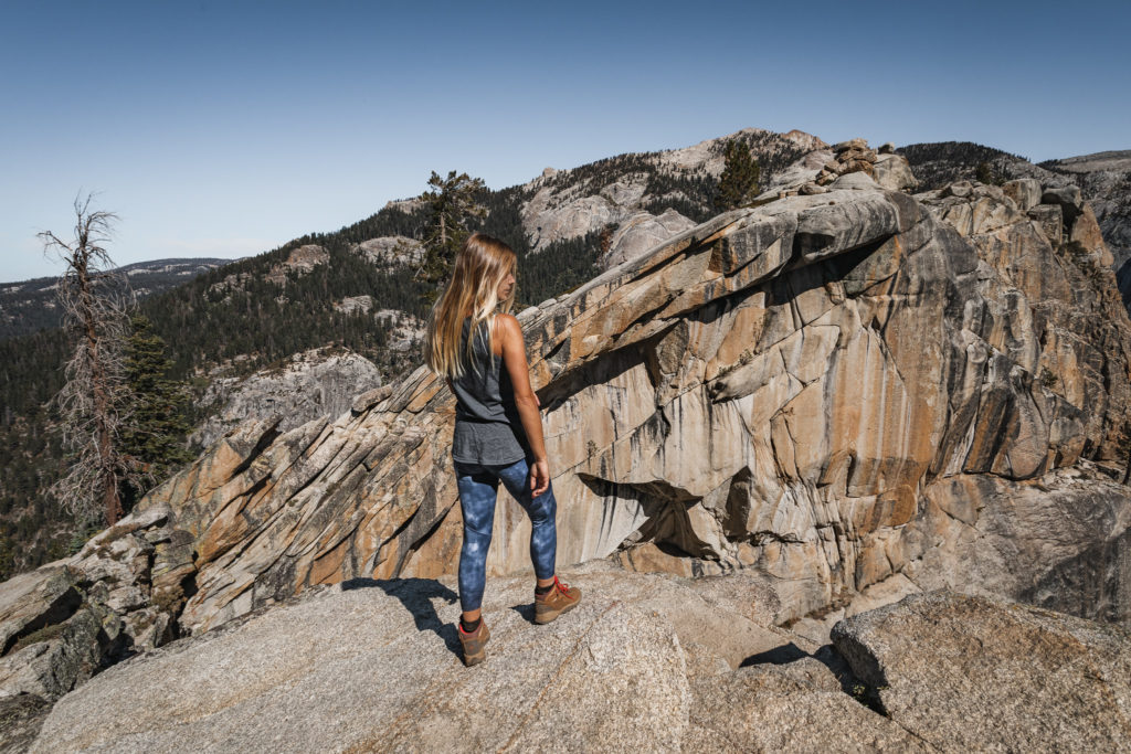
If you’re looking for a place to stay without camping out in a tent for the night, check out the Silver City Resort located towards the end of Mineral King road. This resort has been a family-operated establishment since 1934 and now several historic cabins and chalets are available to rent.
Mineral King Ranger Station
Open from late May to early September, this small station houses some exhibits on Mineral King’s history. Books, maps and educational items are sold here as well as bear canisters. When the station isn’t open, wilderness permits to camp overnight are available on the porch.
Timber Gap
If you’re looking for a great workout, look no further than the Timber Gap trail. It begins very steep, ascending 1670 feet in only 2 miles. Multiple views of surrounding peaks, the Kaweah River and waterfalls are the highlights of this hike. You’re able to take many different routes in this direction, and at one point, the trails meets up with the Paradise Ridge Trail.
Want to see Kings Canyon too? Check out details on Kings Canyon alone here or to read how to see both National Parks in a day click here.
Read More National Park Posts HereBefore heading out on the trail, it’s imperative that you’re familiar with the “Leave No Trace” principles.
Read More: Leave No Trace: The 7 Rules of the Backcountry
Learn more about Leave No Trace on their website here.
Like This Post? Pin It!

| This post contains affiliate links. At no extra cost to you, if you purchase one of these products I may receive a small commission. This helps me maintain my blog as a free space to you. Check out my Disclaimer for more info.


Absolutely lovely! Beautiful pics.
Thank you, Elisa! Means so much to hear!
I fancy myself a pretty decent photographer, but you or whomever is taking your photos do really great work. The color, even in relatively drab outdoor sites, is, I think, stunning. Pinnacles, Death Valley, Tahoe, Europe, and Sequoia NP, my home, I just love the compositions in those photos in those pieces. And you write up Sequoia very well and true. (Only one thing to add — the shuttle does now stop at Tunnel Log.) Fun stuff. Thanks!
Thank you so much for this meaningful comment. It’s always great to hear someone else be appreciative of my work. I will re-edit the post to add in that the shuttle stops at Tunnel Log now. Thank you for the info!