
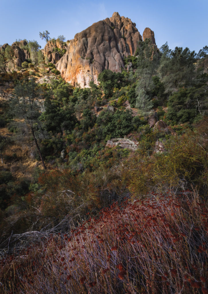
Hiking Pinnacles National Park is my new favorite activity, especially since it’s in close proximity to where I live in California. Although there aren’t many trails throughout the 46 square miles of park, each area in Pinnacles differ immensely from the rest. By trekking on portions of different trails, this route will lead you in the ultimate loop trail around to see the best of what Pinnacles National Park has to offer.
Info for Hiking in Pinnacles National Park
- Central California’s most underrated National Park has a total of 30 miles of trails.
- There’s essentially a west and east side to Pinnacles National Park. Going from one area to another within the park is only accessible by hiking. To reach the other side by car, you’ll have to leave the park and drive about 25 miles around.
- This specific 6 mile loop route will bring you around to the “most beautiful portions of the park,” according to a NPS Ranger we spoke to.
- Before hiking into any of the caves (which you’ll do on this trail), be sure to check the NPS website here for the status of openings/closures. Also bring along necessary lighting and the normal backcountry essentials.
- If you have time, there are other areas of the park worth exploring that aren’t included in this 6 mile route, although I will mention each in my description of this hike.
- The Balconies Caves area is a popular spot that this trail doesn’t include.
- Other trails to hike are the Old Pinnacles Trail, the Juniper Canyon Trail, Tunnel Trail, Jawbone Trail and Chalone Peak Trail. Learn more about those hikes on the NPS website here.
Want to learn more about Pinnacles NP? Check out 10 Cool Facts about Pinnacles National Park here
The Best Loop Trail for Hiking Pinnacles National Park
Distance: 6 Miles Roundtrip
Type: Loop
Elevation Gain: +1630 Feet
Best Time to Hike: All Year
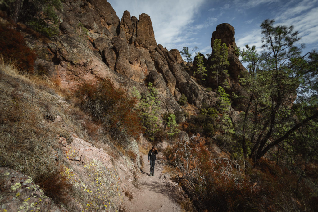
Trail Route: 6 mile loop trail beginning on the east side of the park on the Condor Gulch Trail. It will continue on to the High Peaks Trail, Rim Trail, Bear Gulch Caves Trail and Moses Spring Trail.
Beginning on the Condor Gulch Trail
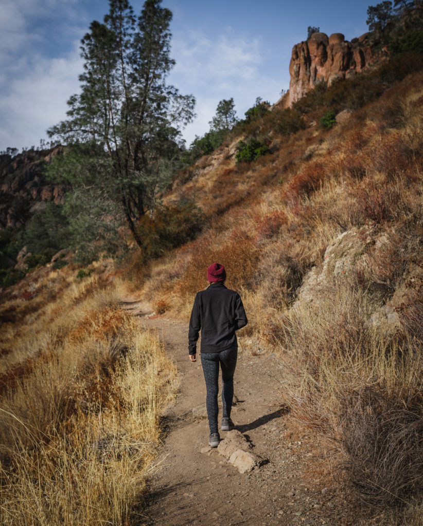
Take a left off of Pinnacles Highway on the Bear Gulch Road to the parking area at the Condor Gulch trailhead. Cross over the bridge to the first junction. From here, our route will continue left up Condor Gulch or you could also continue right for the Bear Gulch Trail.
Condor Gulch
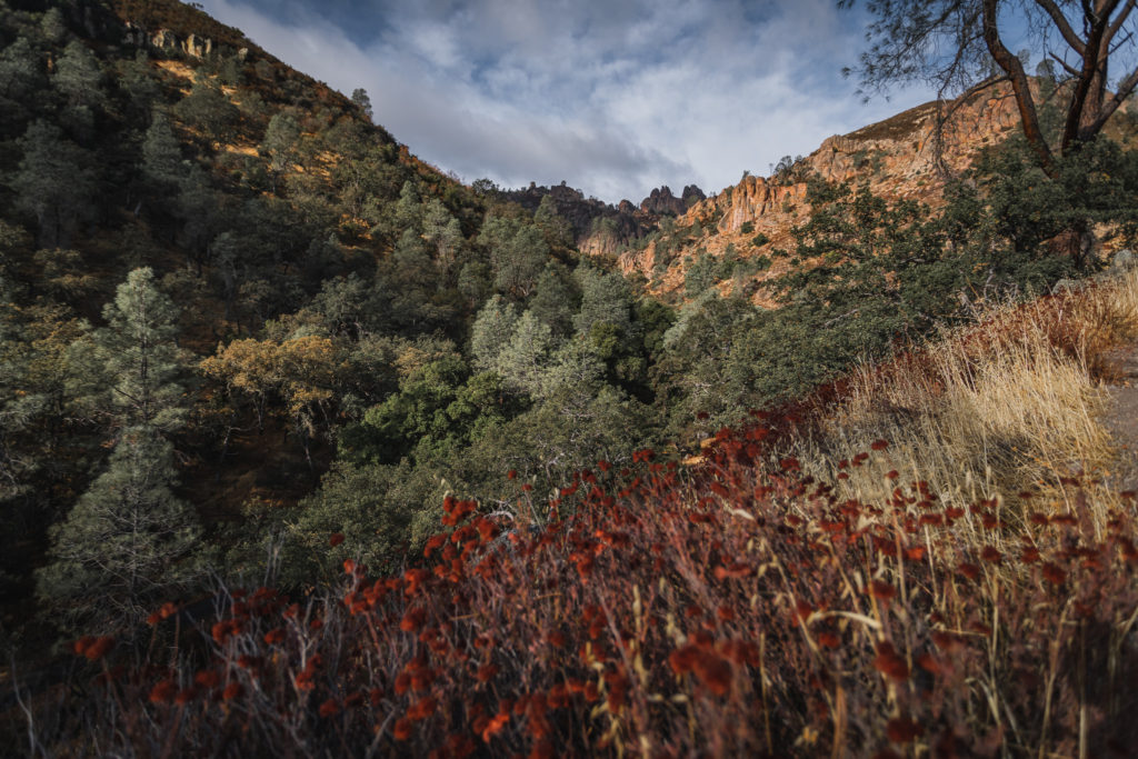
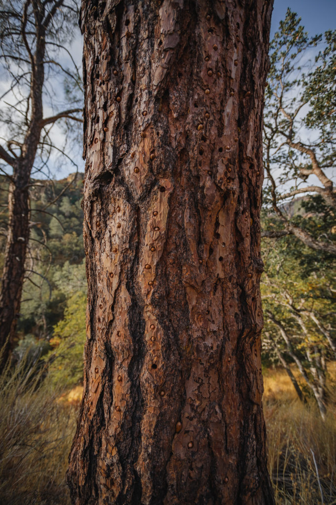
Condor Gulch begins in an exposed area with only little peaks of Pinnacles shining in the distance. Keep your eye out for the tall oak trees with the holes in them, created by acorn woodpeckers.
Colors of California buckwheat pop in the landscape as the trail begins to gain elevation, nearly 400 feet in the first mile. With that added height comes better views of the surrounding Gabilan mountains whose rolling hills are a stark contrast to the jagged Pinnacles.
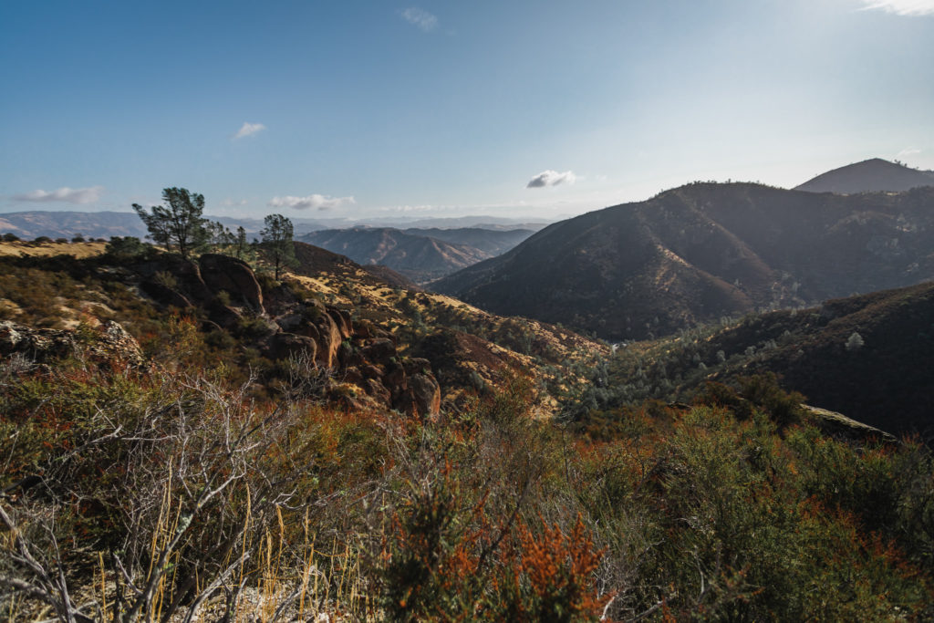
The trail maintains an exposure to the sun, causing temps to rise even on a chilly November day. After about a mile, you reach the Condor Gulch Overlook.
Be sure to keep your eye out for the largest land bird in North America, the California Condor. Pinnacles National Park is actually one of the only release sites for this once-extinct bird and you can find them perched on the Pinnacles around you.
Read more about the California Condor in my blog post here.
Another 0.7 miles brings us to the High Peaks Trail junction. While you can take a right to reach the Old Pinnacles Trail, the best route for our loop trail is to take a left.
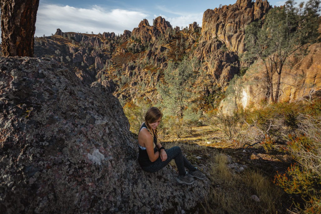
High Peaks Trail
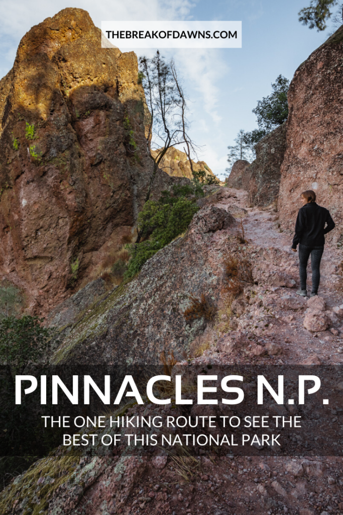
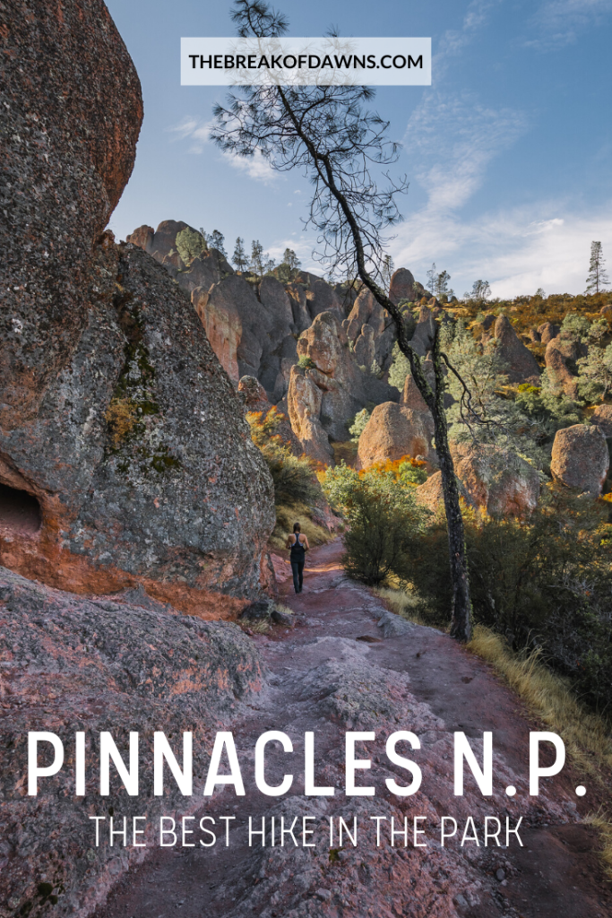
Hiking the entire High Peaks Trail is the most exciting part of our entire journey. At first, colorful vegetation becomes more apparent at these heights. Pinnacle formations take a sharper shape as the rock’s hues display millions of years of mineral wash.
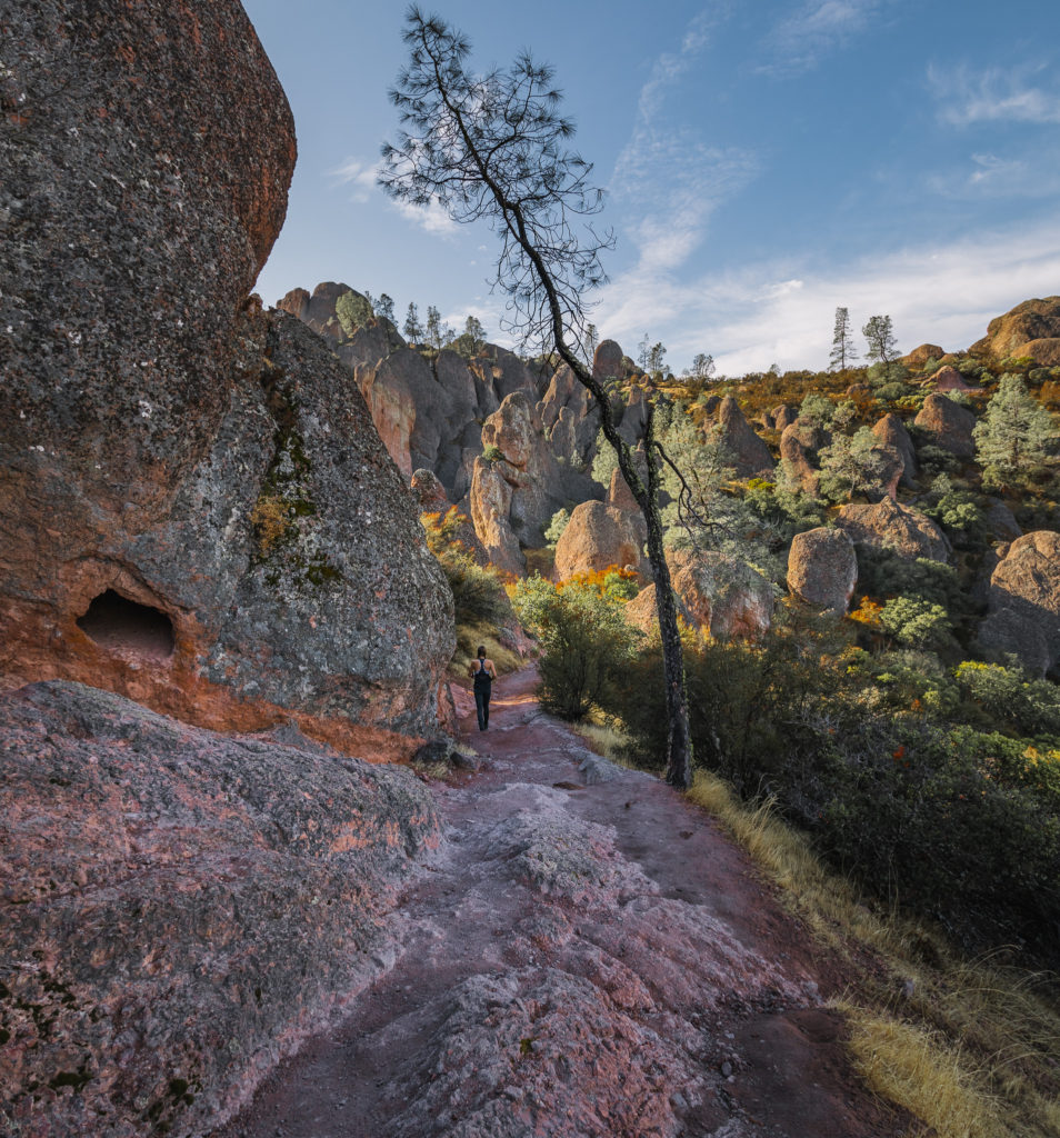
Even though it’s only about 0.6 miles to the next trail junction, we can see in this area alone why Pinnacles National Park is so underrated.
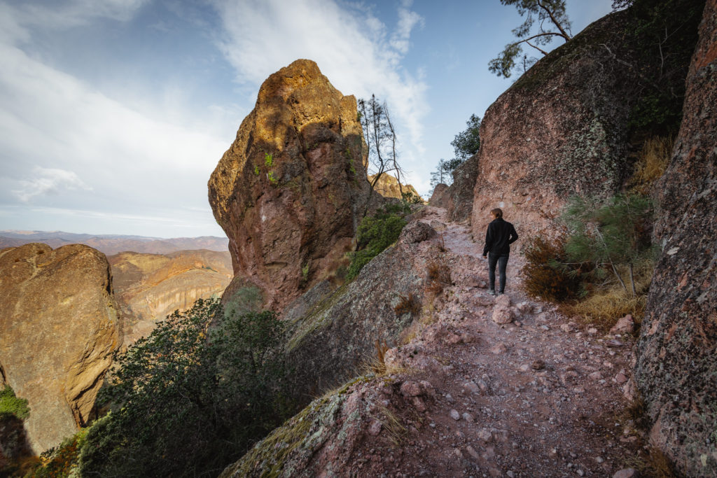
Hawkins Peak at 2700 feet is home to the next junction that we come to. At this point, you can take a right down the switchbacks on the Tunnel Trail. From here you will have the ability to hike the Balconies Caves, definitely a worthy detour.
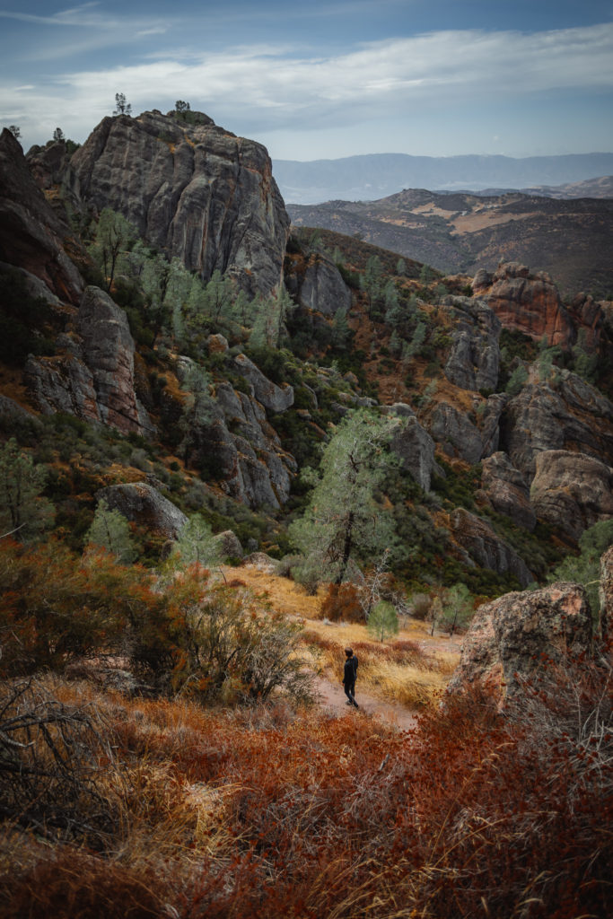
I highly recommend staying on the High Peaks Trail though to experience the most invigorating part of the day!
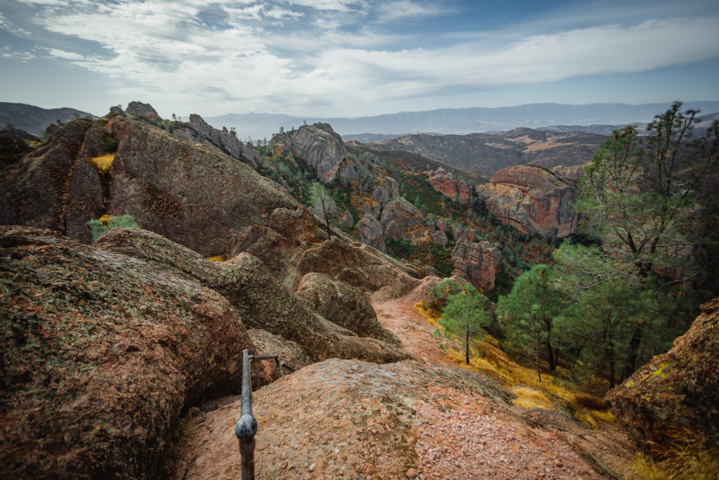
The Steep and Narrow High Peaks Trail Portion
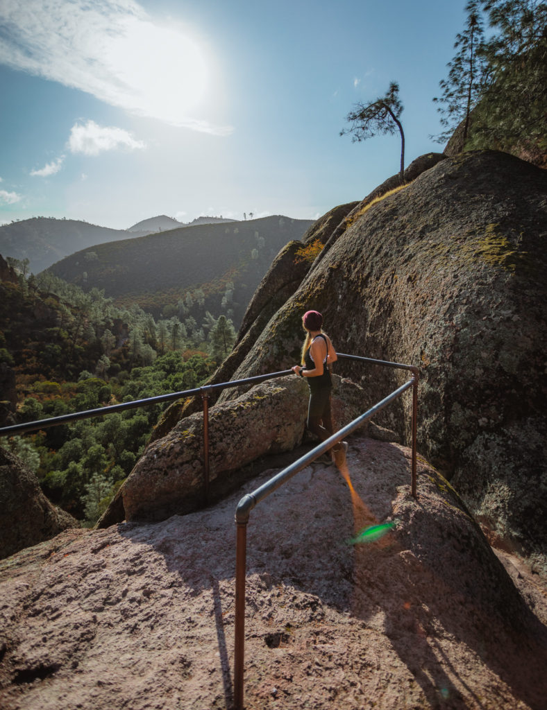
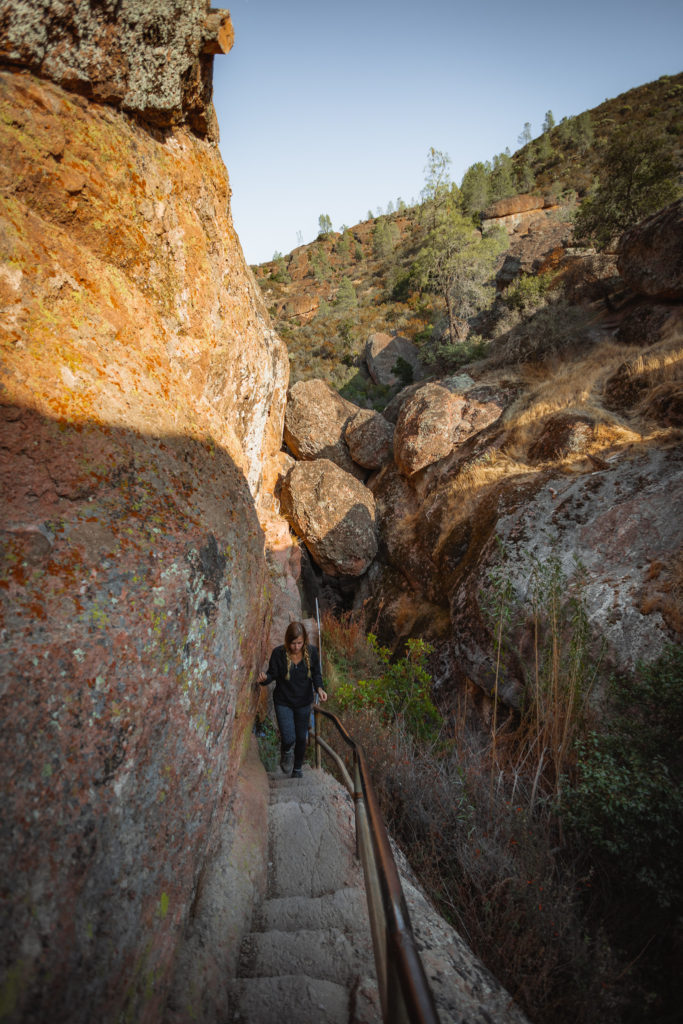
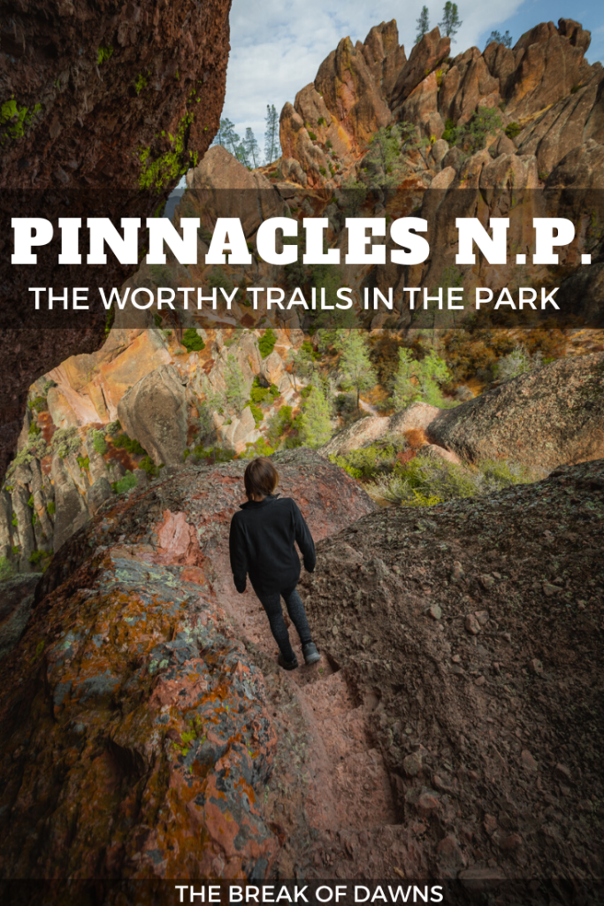
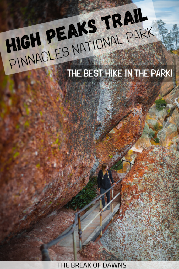
This area of Pinnacles National Park surprised the heck out of me when I first got to it. I had no idea these etched-footsteps were part of the trail but I couldn’t be more excited to tackle it! The carvings were actually made by the Civilian Conservation Corps in the 1930s, an impressive feat for so long ago.
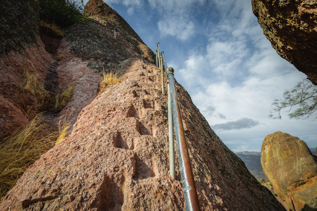
You’ll be happy you’re coming from this direction though, as it seems much easier to go up the steps than down. I will say, if you’re any sort of afraid of heights, I wouldn’t recommend taking this trail.
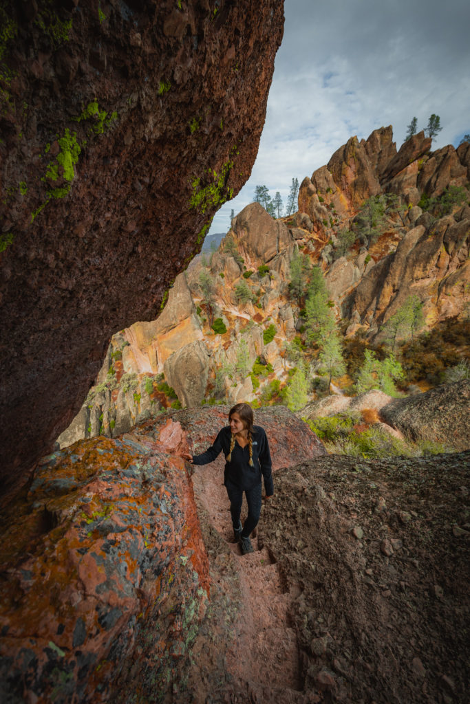
Climb up the first set of steps to arrive at the wooden bridge with the views of Pinnacles continuing on. The rock wall juts out pretty far, forcing any one who’s tall to crab-walk this part.
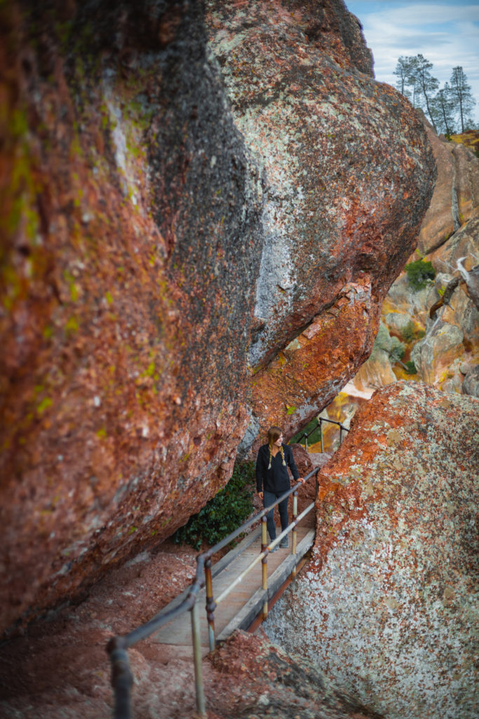
Coming across the other side, the steps wind downward and back on to a normal trail. This portion from the last junction is about 0.7 miles until we reach Scout Peak at 2600 feet. From here, you can take the Juniper Canyon Trail for about 2 miles to the west side of the park.
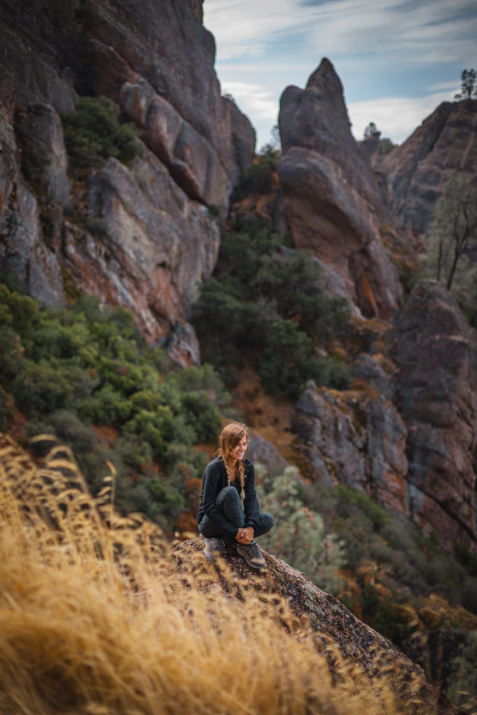
A series of switchbacks around red and orange Pinnacles continue down 1.5 miles until we reach the next trail junction.
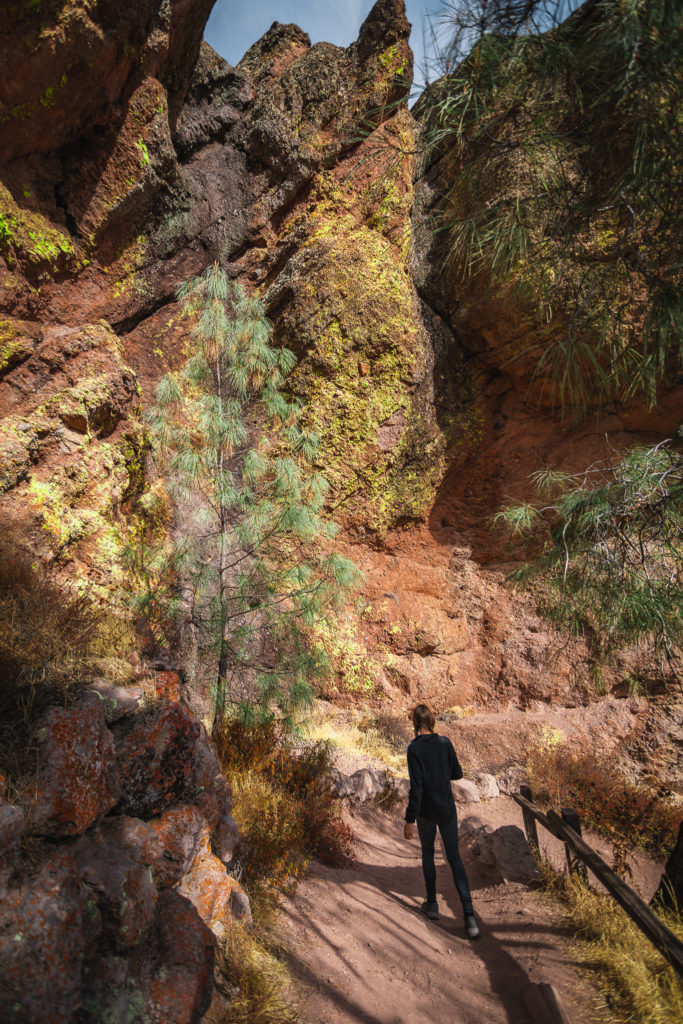
You can finish the hike early by continuing on the 0.5 miles back to the parking area via the Moses Spring Trail. If you do that, you’ll be missing one of the best parts of the hike!
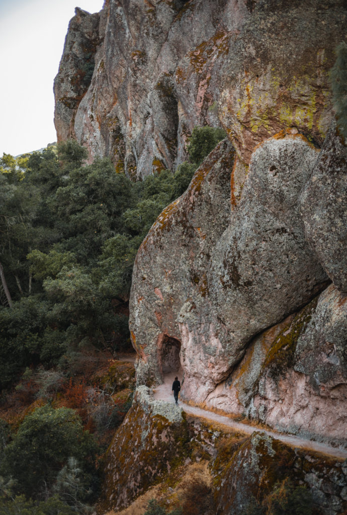
Rim Trail to the Bear Gulch Reservoir
Instead, take the Rim Trail 0.4 miles to reach the stunning Bear Gulch Reservoir.
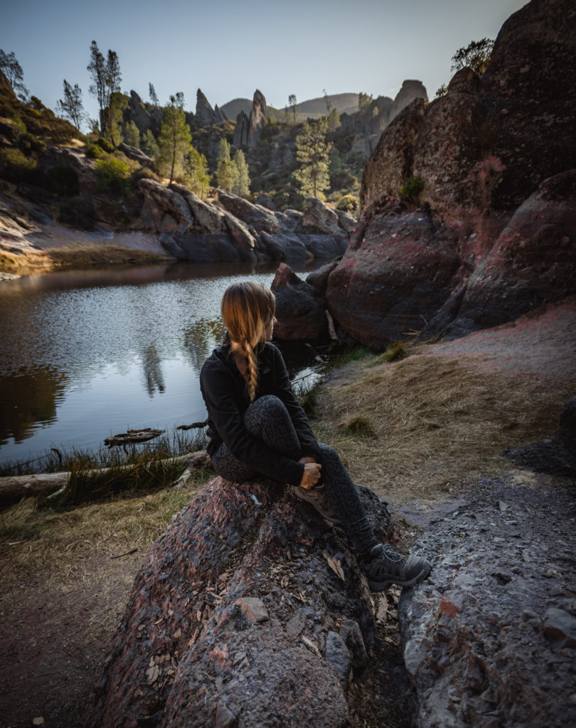
At the Reservoir, you can continue on for the strenuous Chalone Peak Trail across the bridge. To shorten the hike and experience one of the coolest areas in Pinnacles, continue on down the steps for the Bear Gulch Caves Trail.
Bear Gulch Caves Trail
I’ve always loved exploring in Caves and the ones in Pinnacles are specifically special. Instead of being underground like most, the caves in Pinnacles National Park are Talus caves, or openings formed between piled up boulders.
Want to Learn More about Hiking the Caves in Pinnacles NP? Click Here
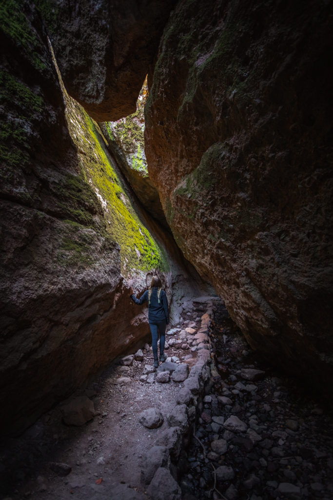
Instead of hiking through the Bear Gulch Caves, you can take the Moses Spring Trail outside of the cave. Otherwise, experience a hike through the caves, exploring around the upper and lower portions. Little rays of light peak through the boulders as water drips from the ceiling above.
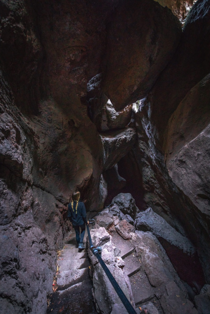
Out of 23 species of bats in California, 14 species call Pinnacles National Park home. Because of this, the park is especially respectful of the bat’s breeding, roosting and hibernation times. Be sure to check the NPS website here for current status on the Bear Gulch cave openings.
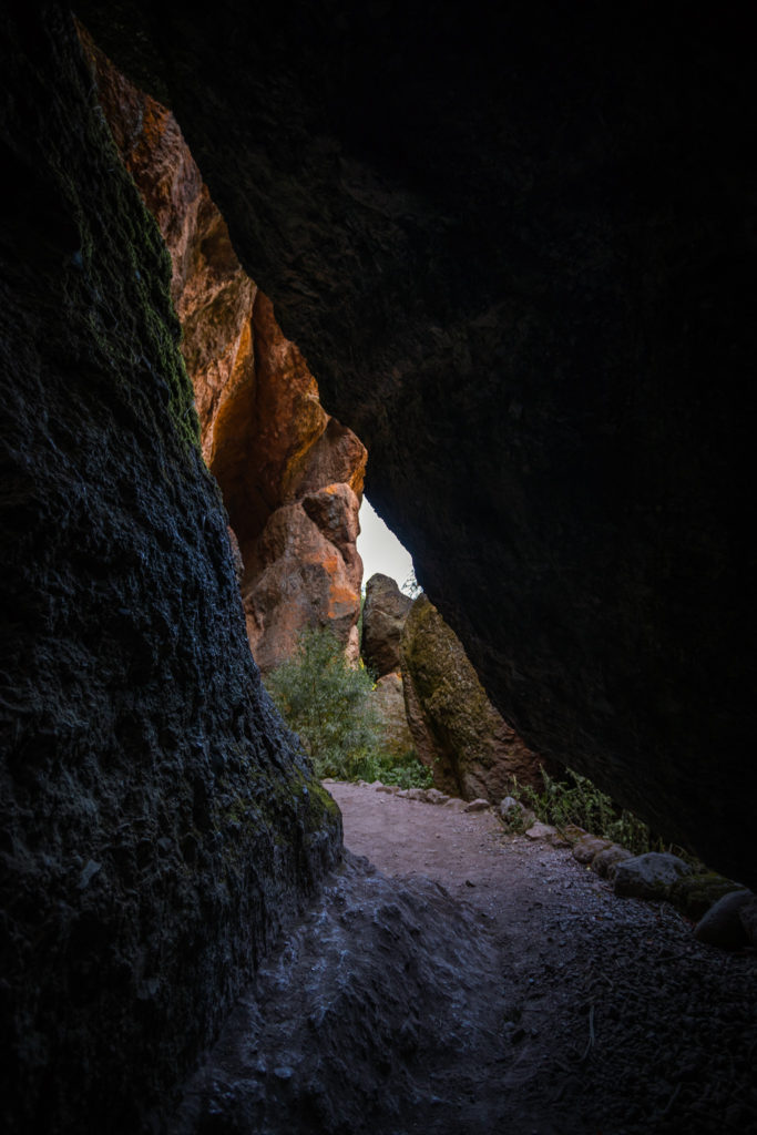
From the Reservoir back to the parking area, it’s only around 1 mile which includes the Bear Gulch Caves and the Moses Spring Trail.
Moses Spring Trail
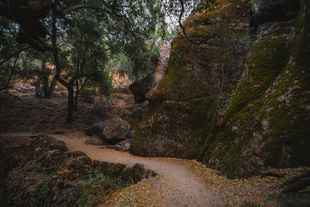
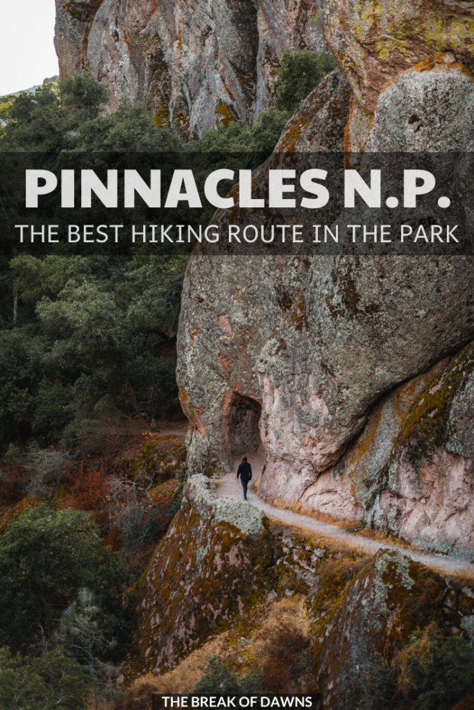
Although it’s short, the Moses Spring Trail is a gorgeous vegetative area, differing from the majority of Pinnacles National Park. Large boulders covered in moss cause the trail to ease around the edges as the floor eats up the fresh fallen leaves.
Read More National Park Posts HereBefore heading out on trails, it’s imperative that you’re familiar with the “Leave No Trace” principles.
Read More: Leave No Trace: The 7 Rules of the Backcountry.
Learn more about Leave No Trace on their website here.
Like This Post? Pin It!

| This post contains affiliate links. At no extra cost to you, if you purchase one of these products I may receive a small commission. This helps me maintain my blog as a free space to you. Check out my Disclaimer for more info.

