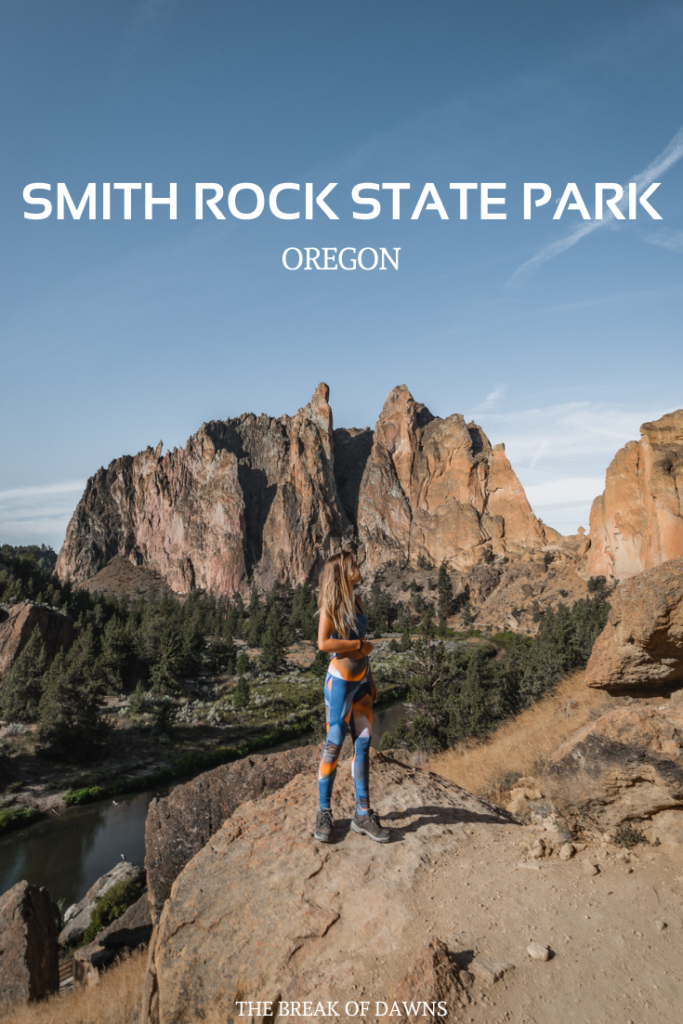
“It’s like they took a chunk of Zion and threw it into the middle of Oregon.” That was the first thing I had ever heard about Smith Rock State Park. While it’s a relatively small piece of land, it resembles the American southwest with its rocky cliffs and elevated climbs. The most underrated park in the PNW offers one incredible heart-pumping trek, supplying you with some of the best panoramic views around.
About Smith Rock State Park
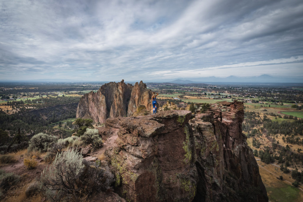
Located in central Oregon’s Deschutes county is this little slice of nature heaven. With views of a deep river canyon below rugged cliffs and some of the best rock climbing opportunities, it’s totally worth the near 3 hour drive from Portland or 30 minutes from Bend.
The park is open every day from dusk until dawn. Pay your entrance fee at one of the self-serving kiosks. Check current rates here.
The Trails of Smith Rock State Park
If you’re not a rock climber like me, I’m guessing you want to do some hiking while in Smith Rock State Park.
Easy Trails:
- Canyon Trail – 1.5 miles
- North Point Trail – 0.5 miles
- Rim Rock Trail – 0.5 miles
- River Trail – 2.5 miles
- Wolf Tree Trail – 1 mile
Medium Trails:
- Homestead Trail – 1 mile
- Mesa Verde Trail – 0.75 miles
- Rope-de-Dope Trail – 0.5 miles
Difficult Trails:
- Burma Road Loop – 7 miles
- Misery Ridge – 2.2 miles
The hike I’ll be talking about today combines 2 of these routes, the River Trail and Misery Ridge.
Tips for the River Trail + Misery Ridge
For the best overall views and experience of Smith Rock State Park, this trail combination is the only hike you’ll need to get the gist of what the park has to offer.
The River Trail and Misery Ridge loop can be completed in two different directions but be sure to hike the trail clockwise to save on time and energy. You’ll begin with a mild 2 mile walk along the banks of the river, rising up the back side of Misery Ridge.
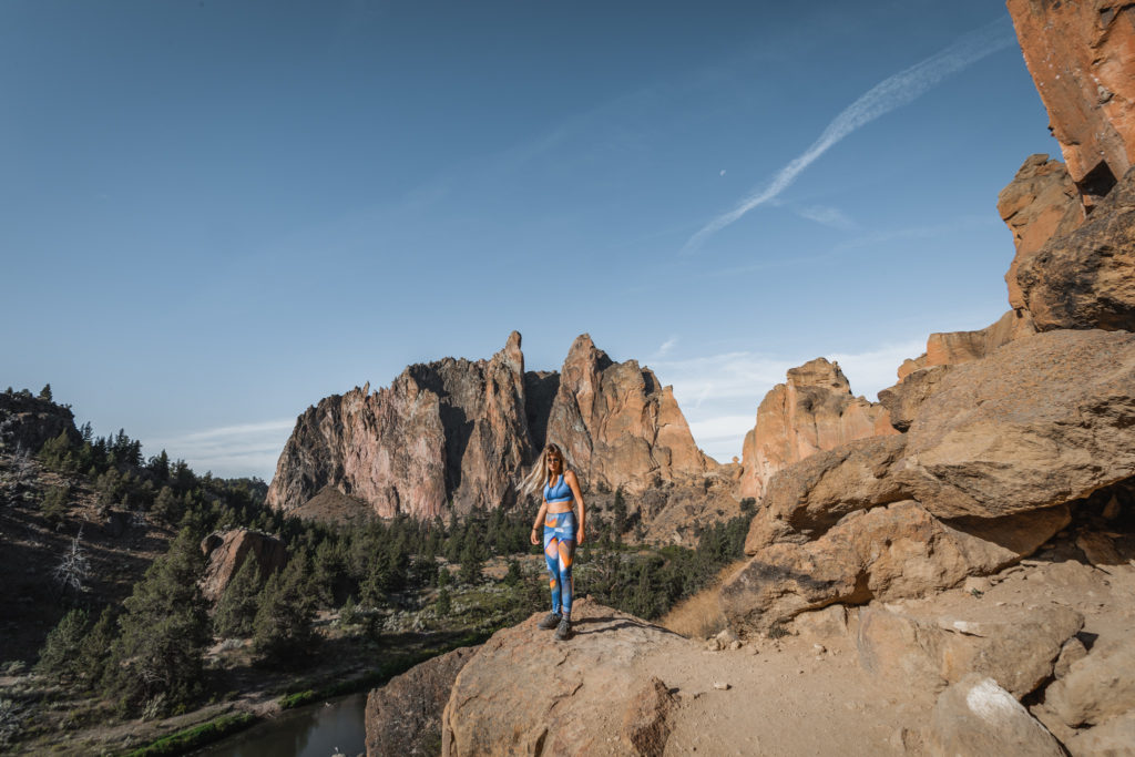
From this direction, the switchbacks up to the summit are much easier compared to the counter-clockwise route. If hiking in the morning, you can summit on the shaded side of Misery Ridge, a life saver in the summer heat.
If you decide to hike counterclockwise, Misery Ridge will be the first trail. Almost immediately, you’ll begin a 1000 foot elevation gain on rugged terrain. I like to save my energy for the end of my hikes which is why we chose to hike clockwise.
This area of Oregon tends to get super hot so be sure you have all of your necessary hiking essentials!
Read More: The 8 Backcountry Essentials You Shouldn’t Hike Without
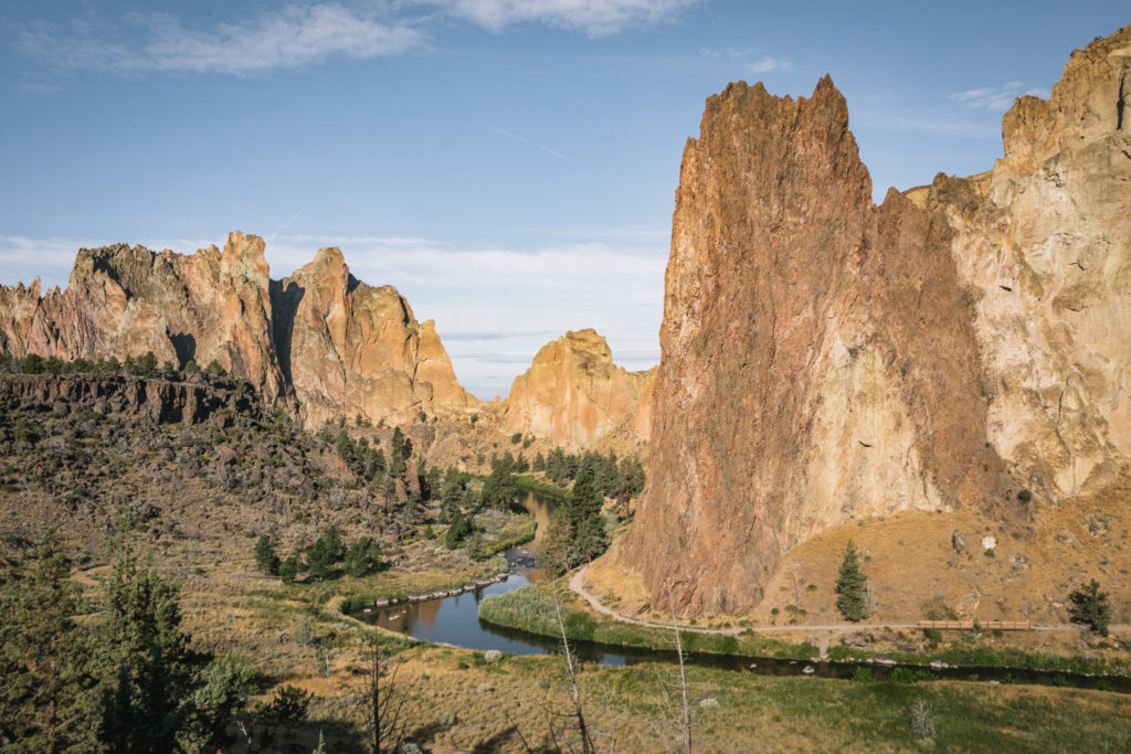
Hiking the River Trail + Misery Ridge
Distance: 3.5 Miles
Type: Loop
Elevation Gain: +948
The River Trail
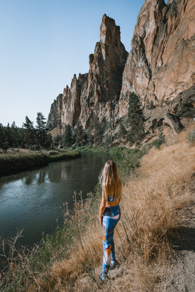
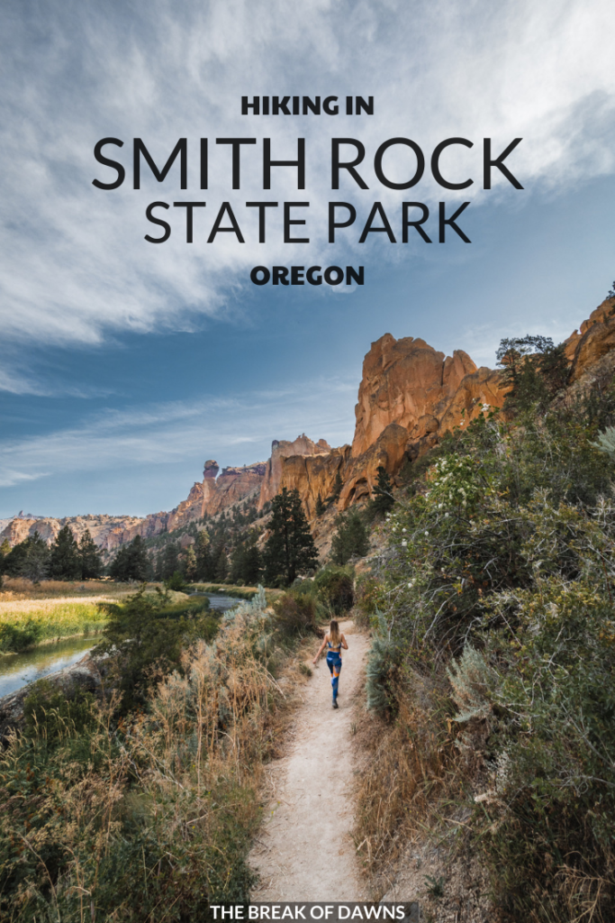
Coming down the Chute to the bridge at the river, cross over and take a left to begin the River Trail. This route will run you parallel with the river until you reach the beginning of the Misery Ridge Trail.
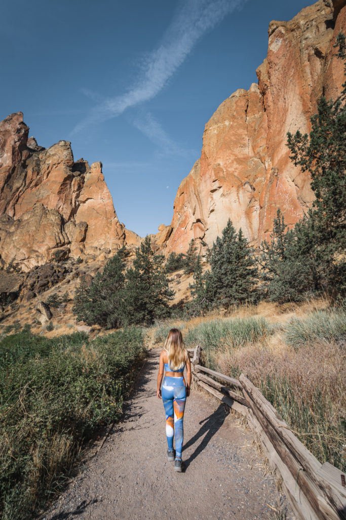
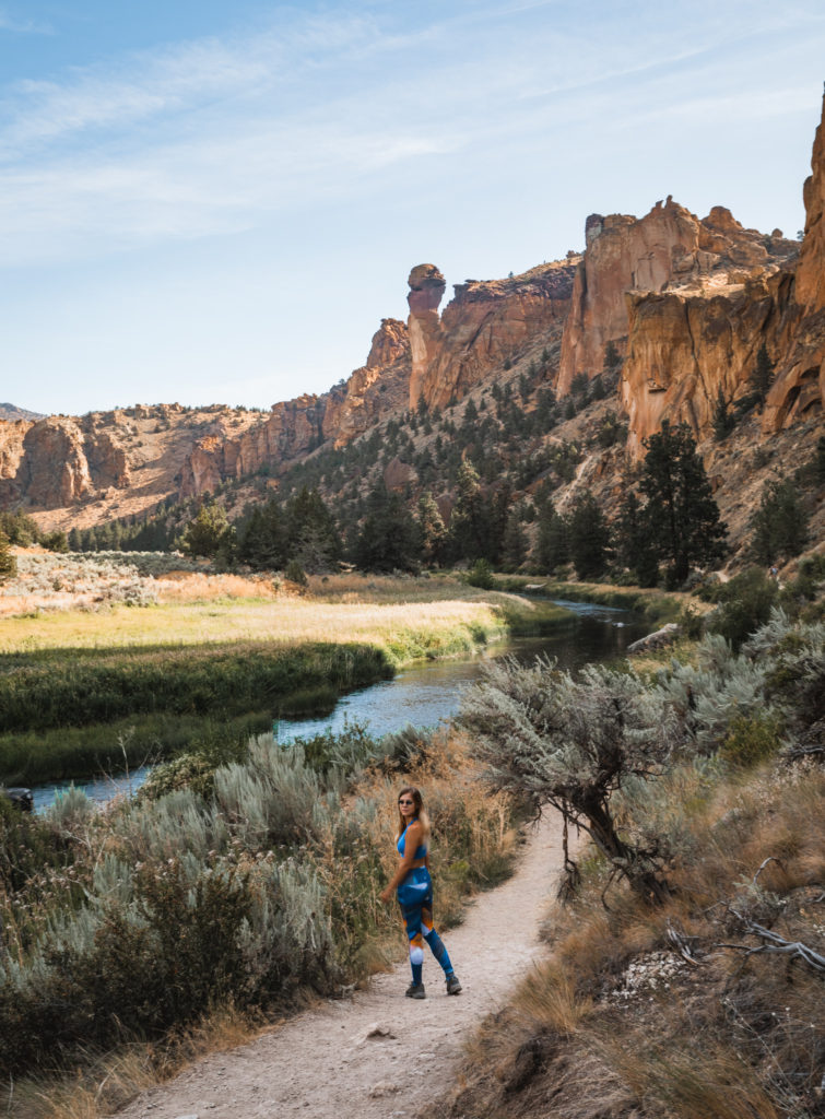
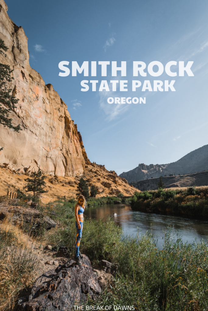
The views of the surrounding Smith Rock State Park on this first part of the trek are outstanding. Shapely jagged cliffs rise up so high, shadows are casted over the water in the canyon below.
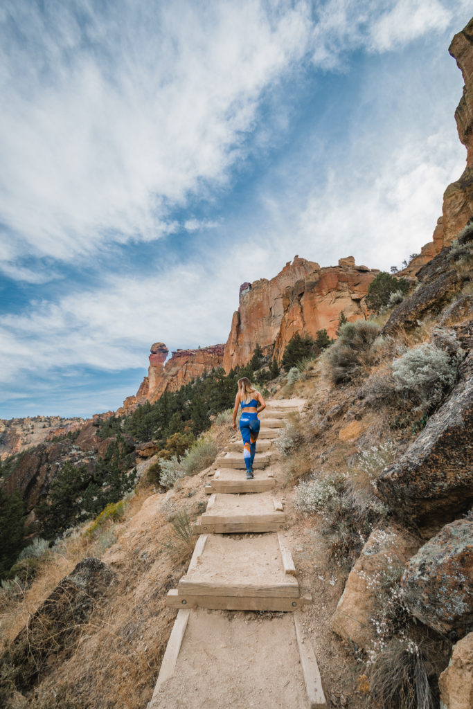
Multiple sets of wooden stairs lead uphill for easy access to rock-climbing areas. Looking up at the walls of the canyon, you can see the clips where the climbers can latch on.
If you’re hiking this trail earlier in the day, you’ll be happy to know the exposure to the sun won’t last long. Making the turn from west to north around the back side of the cliffs, the trail becomes shaded, the biggest perk of hiking this way. Before long, the ever-famous Monkey Face appears.
Misery Ridge Trail
About halfway through your trek is the trailhead to Misery Ridge. With a constant uphill climb, it’s only a hint at what’s to come for the rest of the summit.
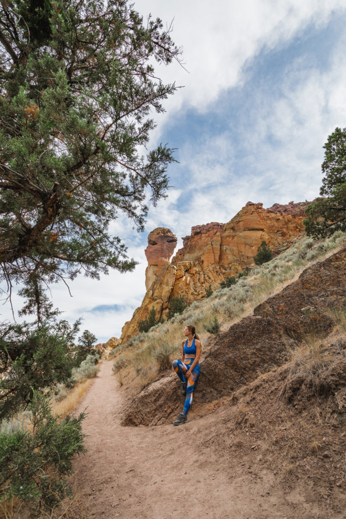
Halfway up the ridge, switchbacks begin to make their appearance and they couldn’t come at a better time. This third mile is the hardest of the entire hike with a 700 foot elevation gain.
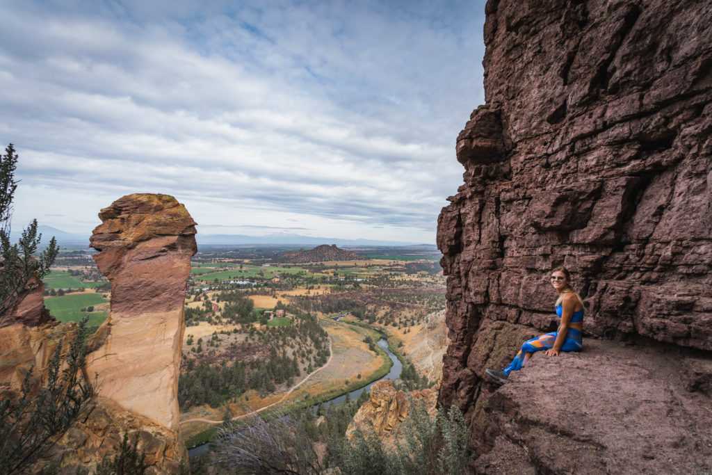
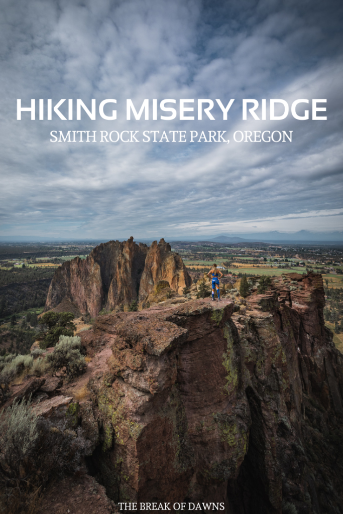
It’s completely okay to stop and take a break every now and then though (I did!) Turning towards the west, the peaks of Mount Bachelor and the Three Sisters appear as a backdrop to Monkey Face.
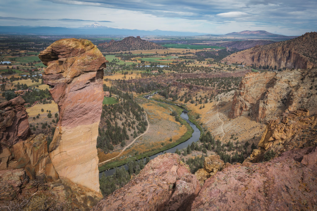
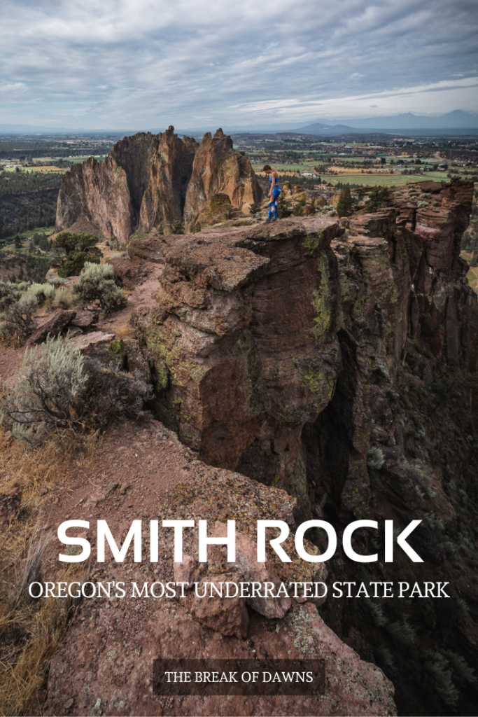
Because of the elevation gain, the last half mile to the summit is a toughy. You’ll gain nearly 300 feet in 0.3 miles but the views from the top of the summit are so so worth it.
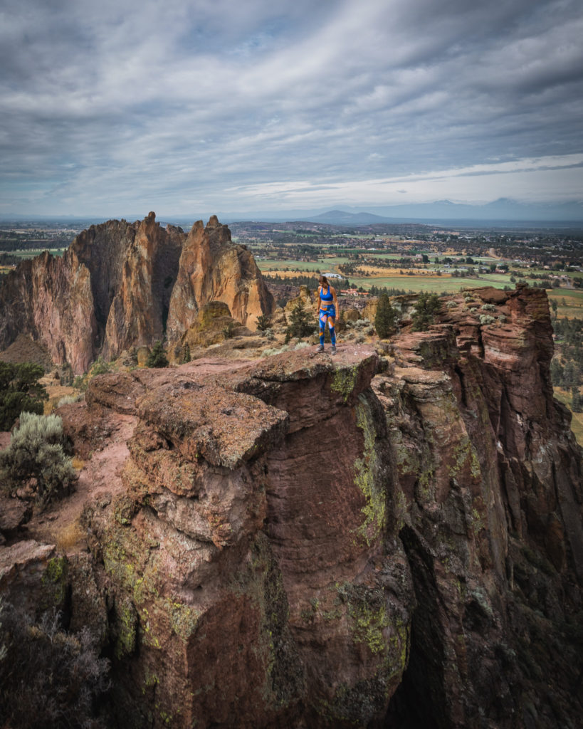
You may even forget what your legs were feeling like!

Now on to the descent of Misery Ridge. Not long after beginning the climb down, you’ll see why I talked you in to taking the clockwise route. It doesn’t seem so ‘miserable’ on this side.
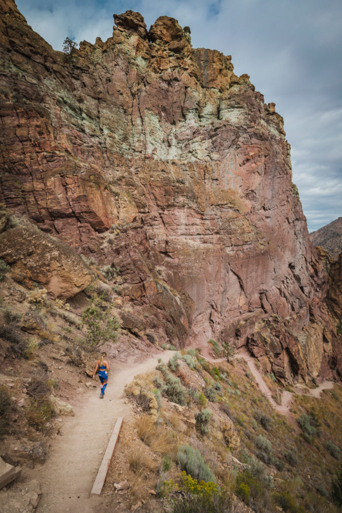
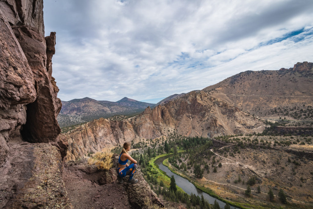
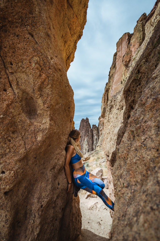
The views from here are absolutely breathtaking as the river esses around the bend in the canyon below. Misshapen rocks and sculpted crevice slots run along the downward trail as well, leaving you with a lasting impression of Smith Rock State Park.
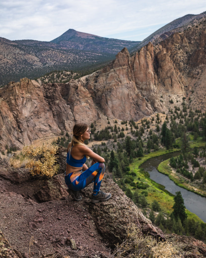
Read More Oregon Posts HereBefore heading out on the trail, it’s imperative that you’re familiar with the “Leave No Trace” principles.
Read More: Leave No Trace: The 7 Rules of the Backcountry
Learn more about Leave No Trace on their website here.
Like This Post? Pin It!

| This post contains affiliate links. At no extra cost to you, if you purchase one of these products I may receive a small commission. This helps me maintain my blog as a free space to you. Check out my Disclaimer for more info.

