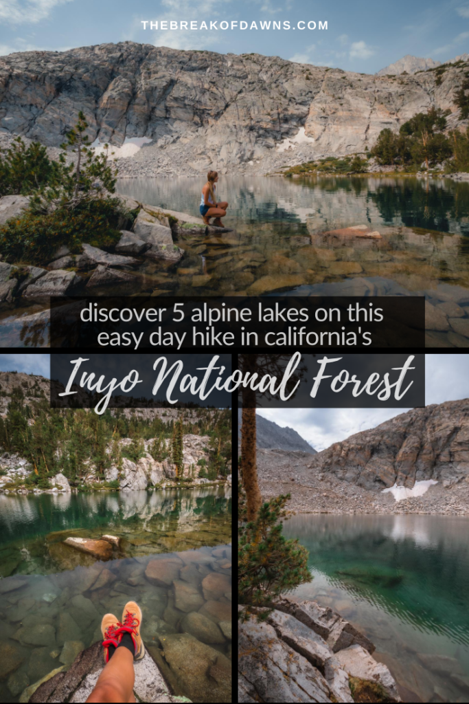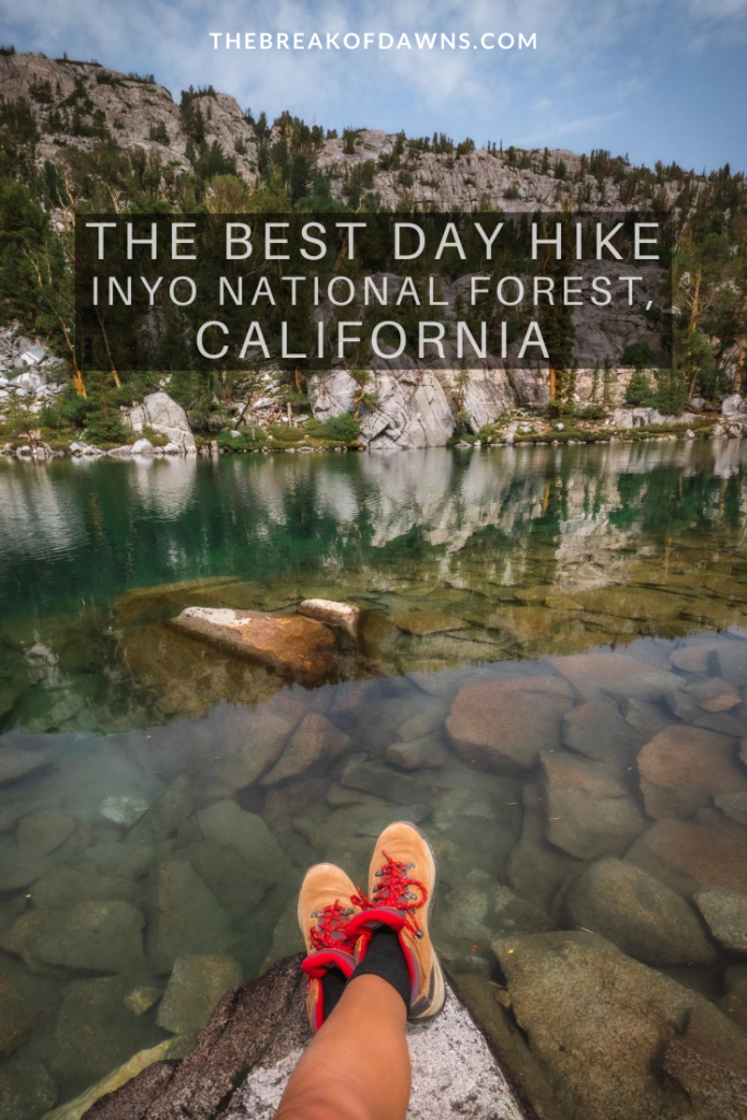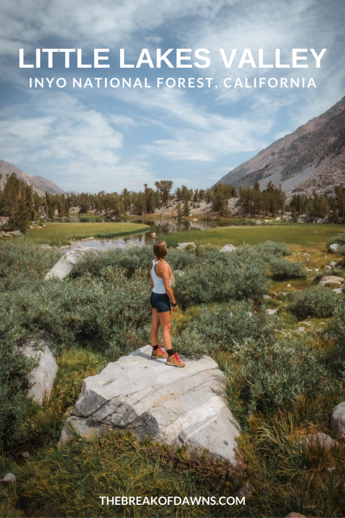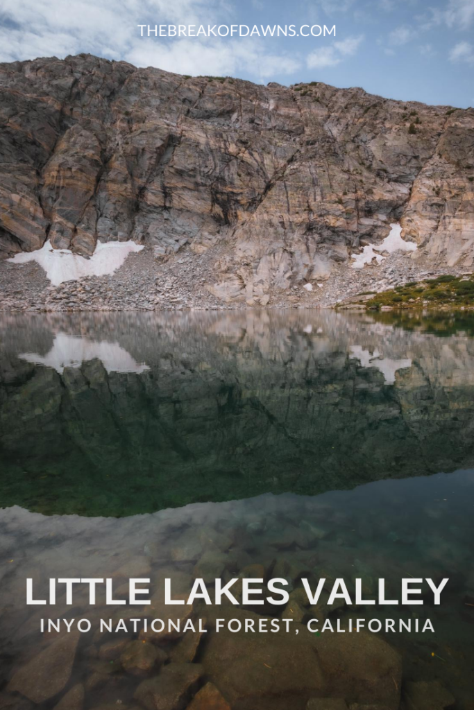
What a looooooong summer it’s been without hiking in my life. After 5 endless months of stay-at-home orders followed by wildfire evacuations, I was more than ready to hop back on the trails again. Following a short drive over the Sierra Nevada’s from the Bay Area, we embarked on our first trek of the season by hiking the Little Lakes Valley trail in Inyo National Forest.
About the Little Lakes Valley Trail in Inyo National Forest
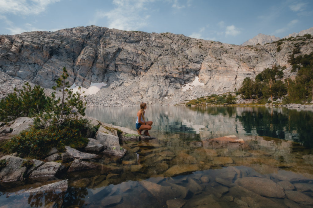
The Little Lakes Valley trail in Inyo National Forest is one of the most popular day hikes in the area but for good reason. In a round trip distance around 8 miles, you can experience alpine lakes among a nature wonderland with an easy elevation gain.
Popular with fishermen and offering an easy overnight backpacking experience, the Little Lakes Valley trail begins at over 10,000 feet in elevation. We clocked in 8 miles with an +1100 foot elevation gain in just over 3 hours of hiking.
Check the National Forest website here for current conditions and more information about the area!
Hiking the Little Lakes Valley Trail in Inyo National Forest
Distance: 8 Miles
Type: Out & Back
Elevation Gain: +1,100 Feet
Best Time to Hike: July – October
Features: Alpine lakes, wildlife, cascading mountain views. Fishing and backpacking opportunities. Dogs allowed on leash.
Getting to the Little Lakes Valley Trailhead
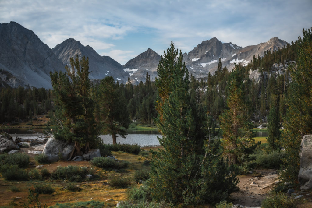
If you’ve ever driven Highway 395 in California, you know it’s the portal to many of the state’s gems. The Little Lakes Valley trailhead is located at the end of Rock Creek Road, just over 10 miles from the 395 in Inyo National Forest (directions to trailhead here). The parking lot tends to fill up before 8 AM, especially on weekends, so get here early to snag a spot.
Beginning the Little Lakes Valley Hike
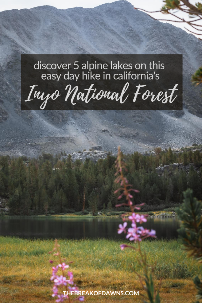
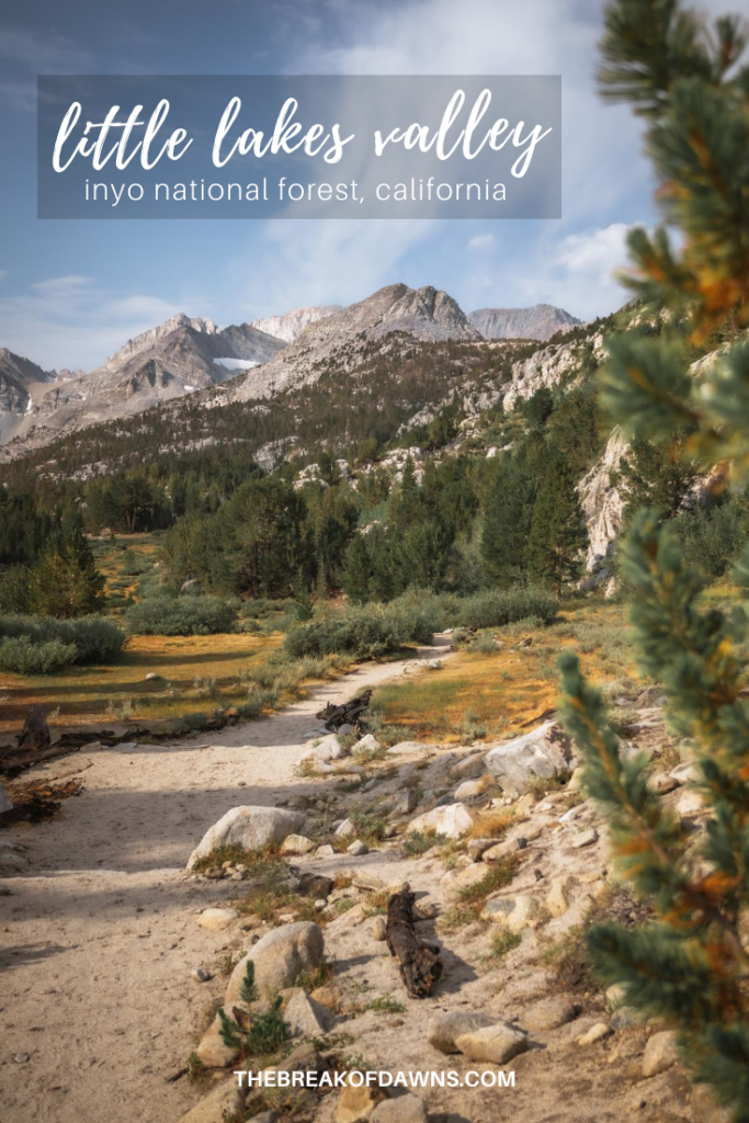
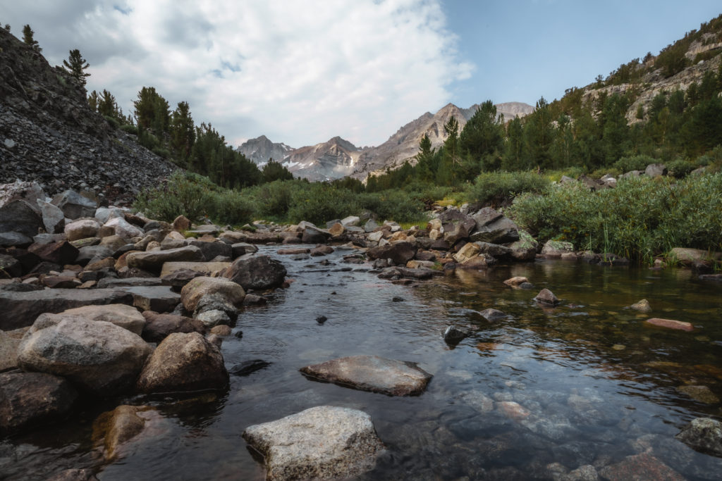
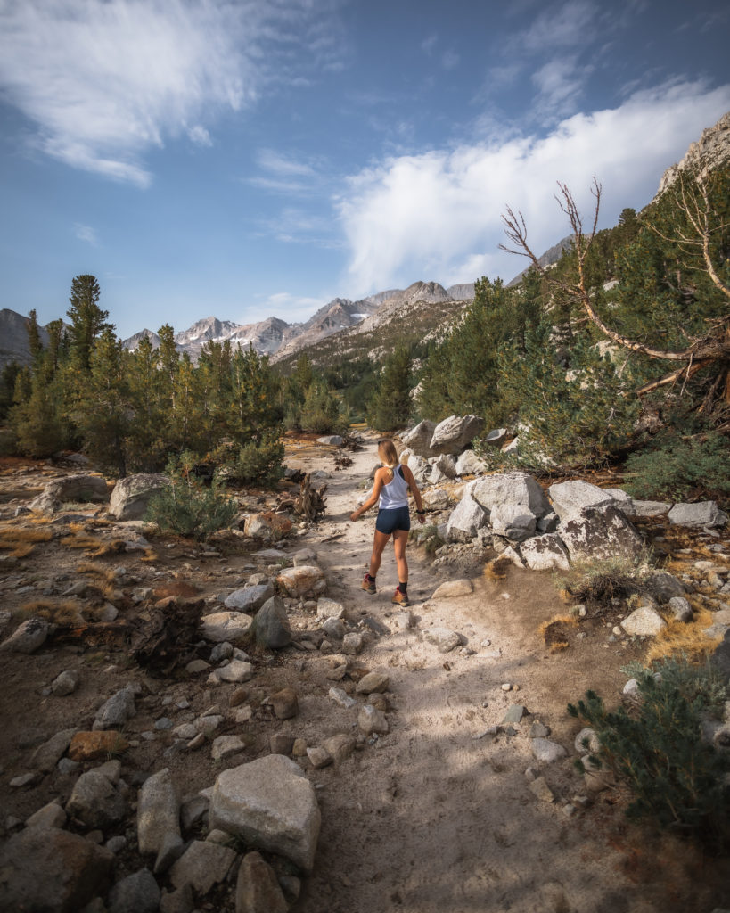
The Little Lakes Valley trail in Inyo National Forest begins at over 10,000 feet in elevation while running parallel with Rock Creek. As we make our way through the exposed trail littered with vibrant pines, it doesn’t take long for the peaks of Mount Dade and Bear Creek Spire to come into view.
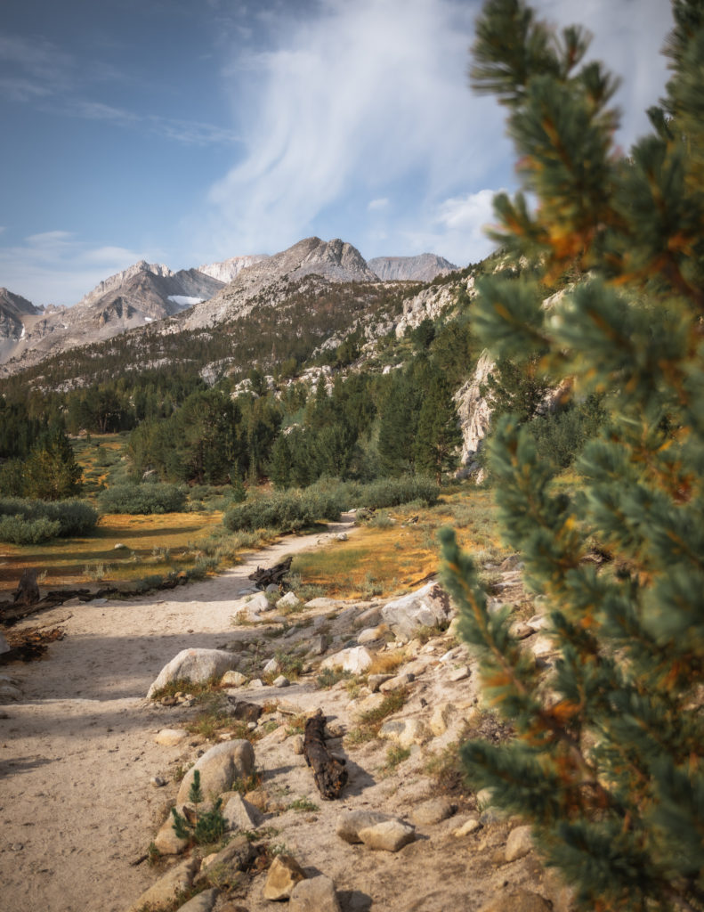
The Lakes Along the Little Lakes Valley Trail
At 0.5 miles in, we meet a trail junction to Mono Pass which eventually connects with the Pacific Crest Trail. Around this time, we see Mack Lack to our left. At 2 miles in, we’ve passed by 5 different small marshy lakes fed by Rock Creek.
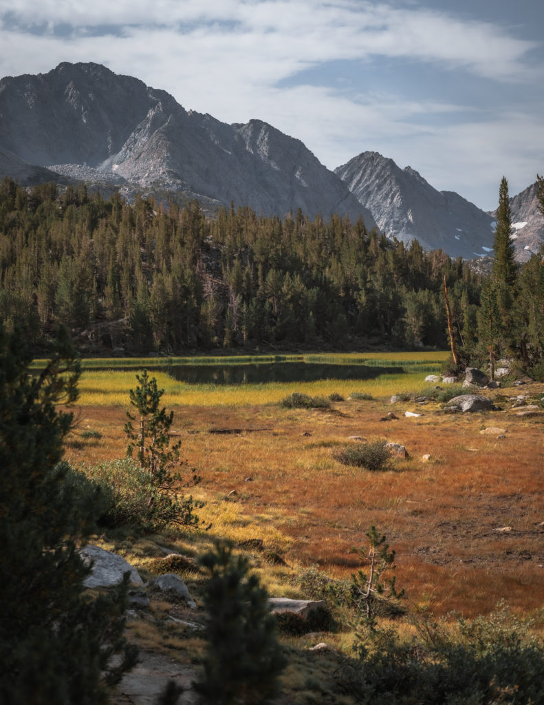
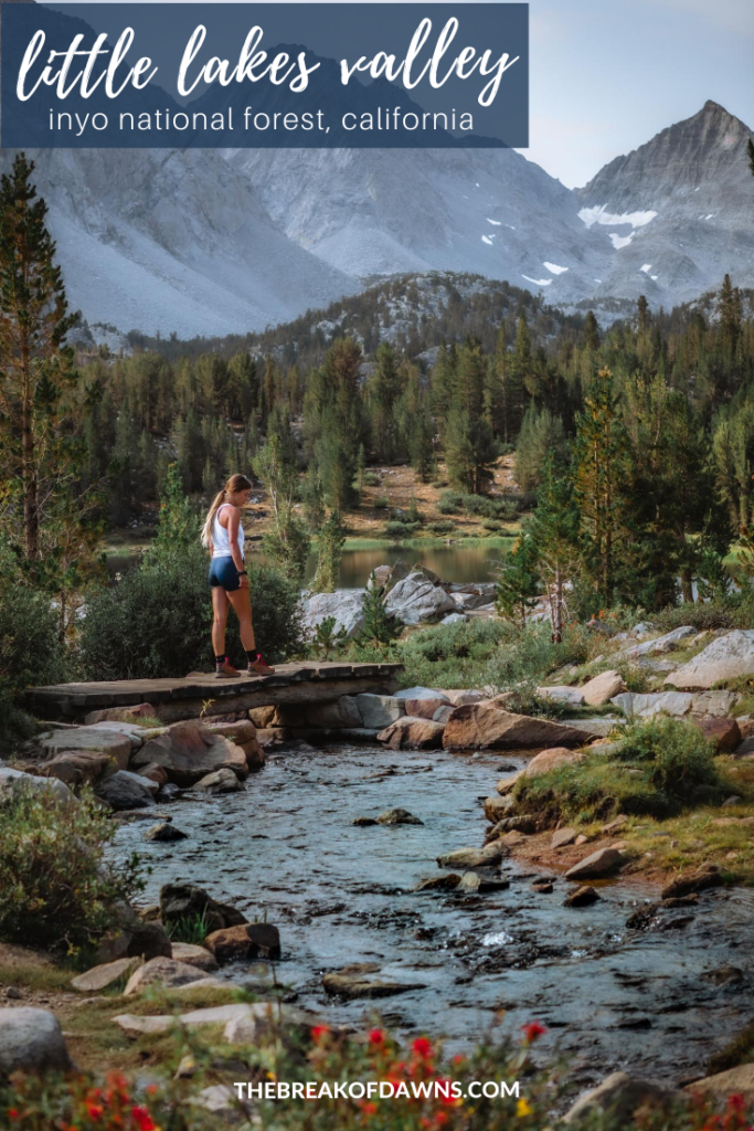
Once we’ve passed by the aptly-named Marsh Lake, we cross a wooden bridge over Rock Creek. From here, we can sense the closeness of the former glaciers in the distance, evident by the ‘U’ shape.
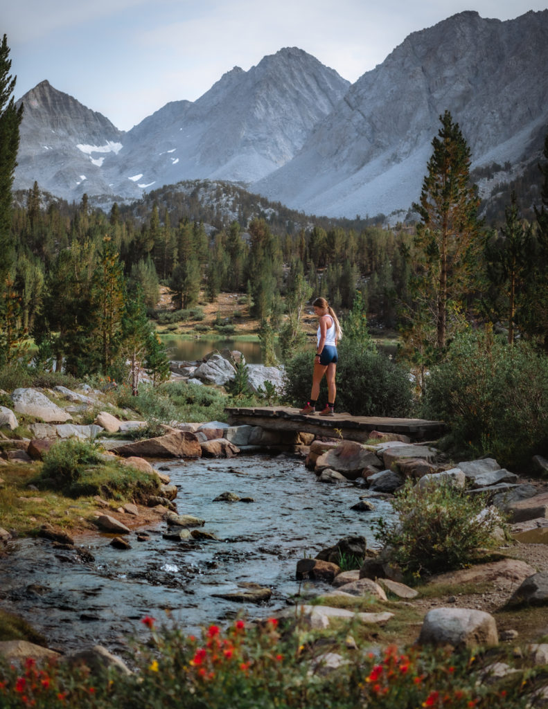
The trees spontaneously open up in some places, displaying vibrant meadows and grasslands. At 1.5 miles of hiking, we’re walking at the base of Heart Lake, popular with fishermen.
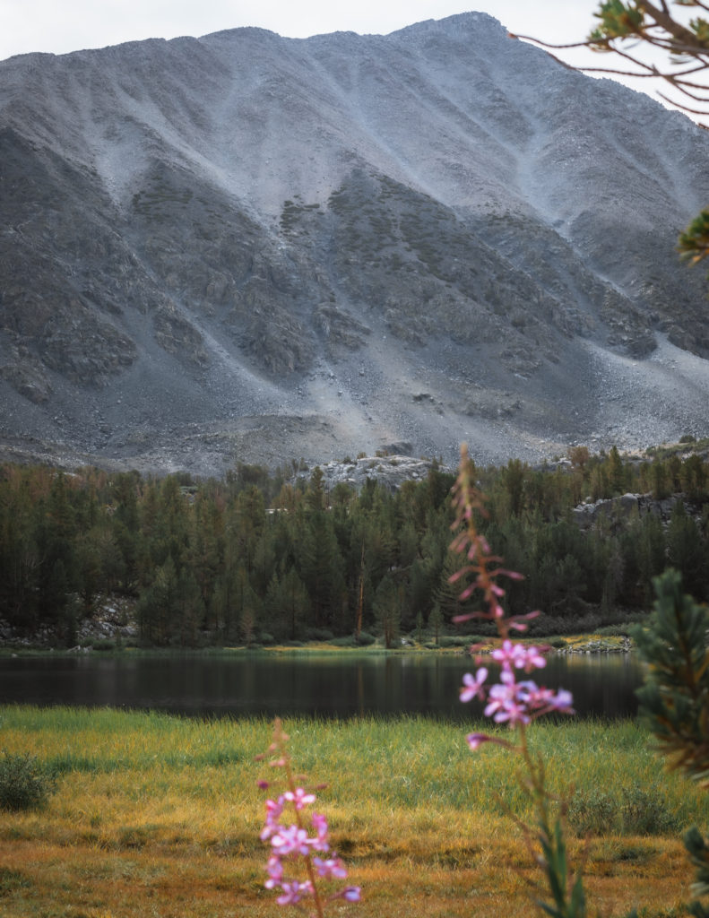
As we continue on, we feel extra-elevated looking out at the stunning Box Lake. The rocky edges contrast with the vegetation in the distance with the mountain peaks jutting up into the sky.
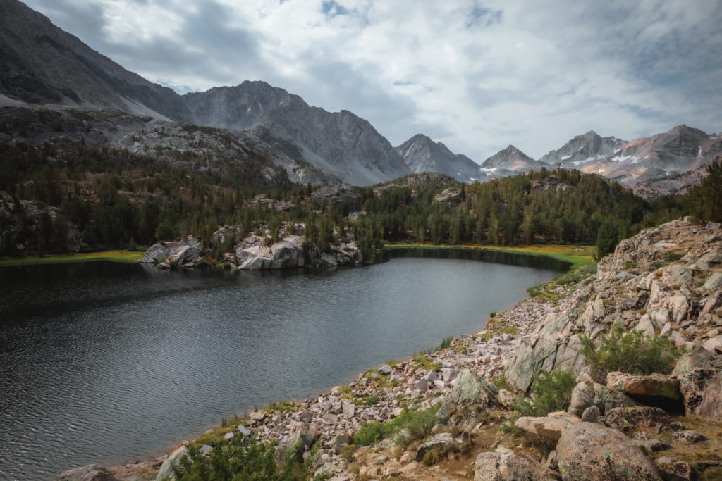
Change in Terrain
At 2.3 miles, we arrive at Long Lake, the biggest of those we’ll see on the hike. The terrain of the trail becomes rockier here while also becoming more exposed to the elements. Keep your eyes peeled on the rocks for pika, alpine field mice whose squeaks can be heard from a far distance.
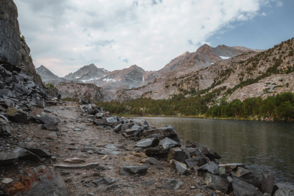
By 3 miles in to our hike, we meet the junction that’ll take us over to Chickenfoot Lake. Another popular spot for fisherman, we pass over that all-too-familiar Rock Creek before reaching the banks of Chickenfoot.
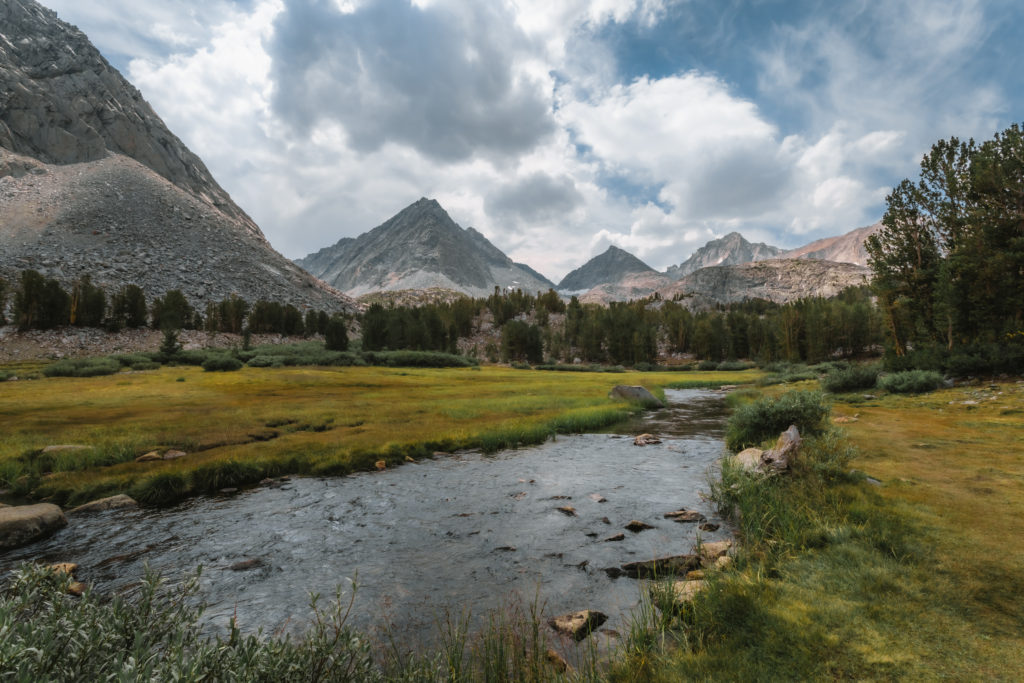
Beyond the junction to Chickenfoot Lake is perhaps the most difficult part of the hike. Even with this slight elevation gain, the trail is still mild compared with most in the area. Maintaining that rocky terrain, we remain exposed to the afternoon sun with a lack of tree coverage.
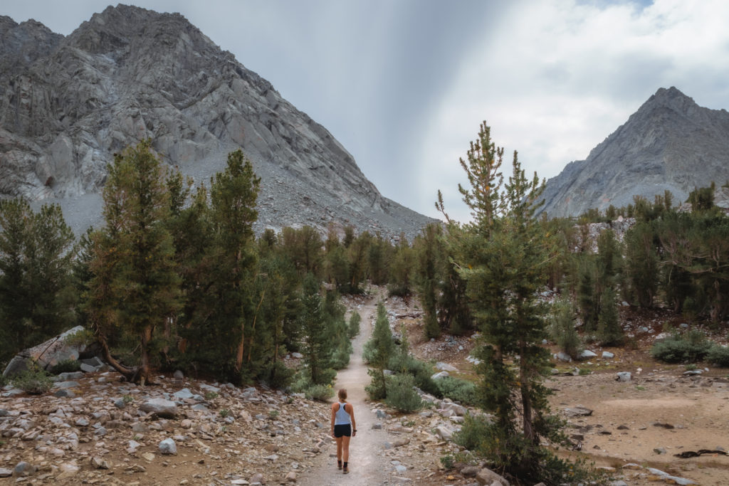
With those mountain peaks appearing closer than before, we eventually cross Rock Creek again. Instead of a wooden bridge, we use a set of strategically-placed rocks to make the pass.
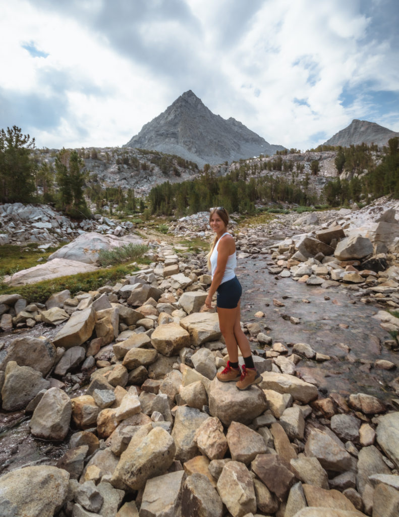
At 3.5 miles and +700 feet in elevation gain, we meet another trail junction to Morgan Pass.
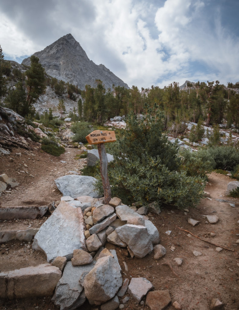
To reach the end of the Little Lakes Valley trail, we continue on towards Gem Lakes, the true stunner of all the bodies of water we’ve seen thus far.
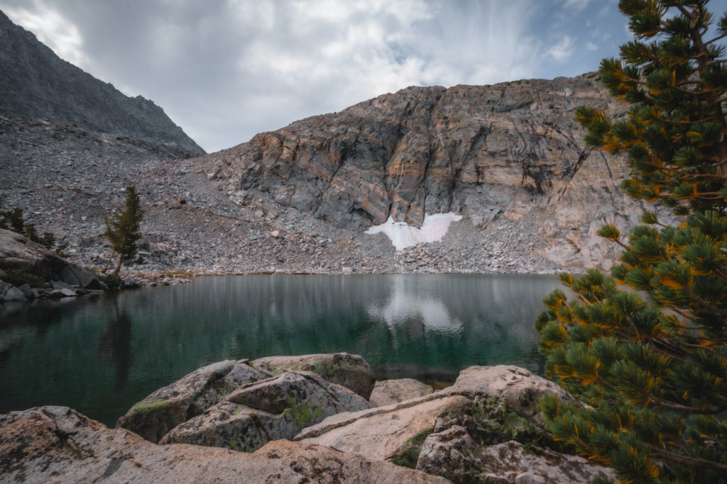
Reaching Gem Lakes
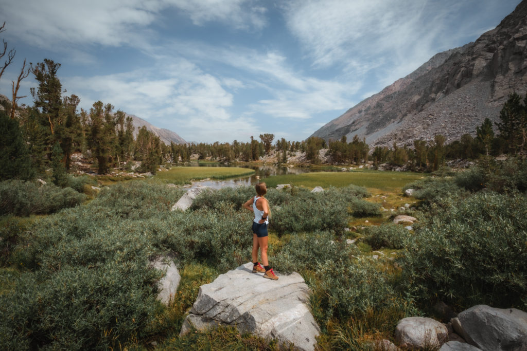
Almost immediately after passing the trail junction, we can see 2 of the 5 lakes that comprise the Gem Lakes. As trees open up to meadows with former glaciers as the backdrop, we cross over Rock Creek one more time.
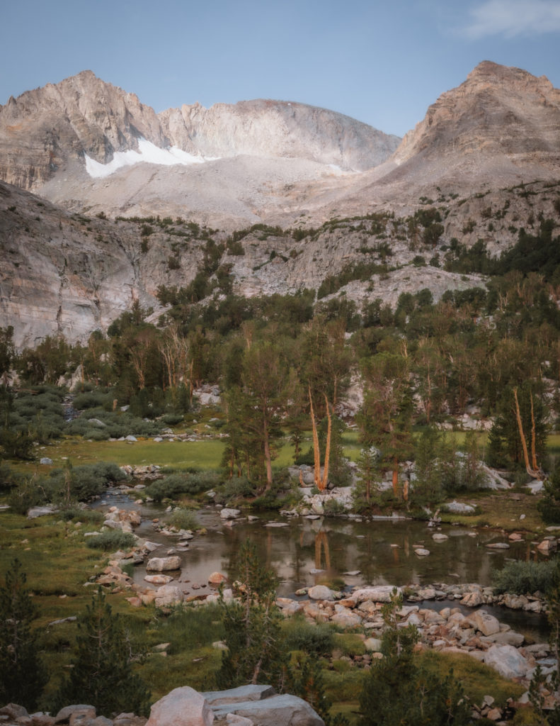
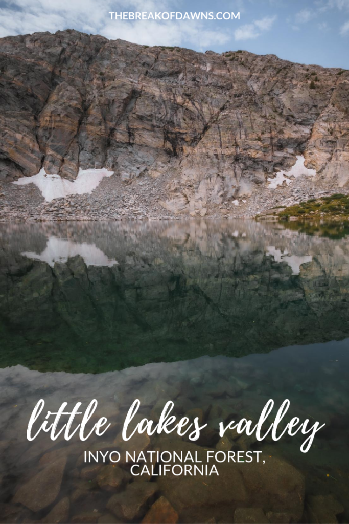
In less than 0.5 miles we reach the biggest Gem Lake, still holding on to snow from the past season.
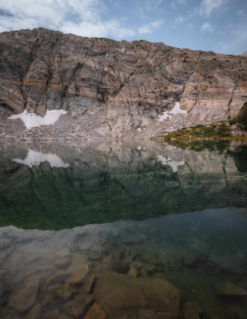
Take some time to explore around the various embankments, even crossing the north side to see another perspective of Gem Lake.
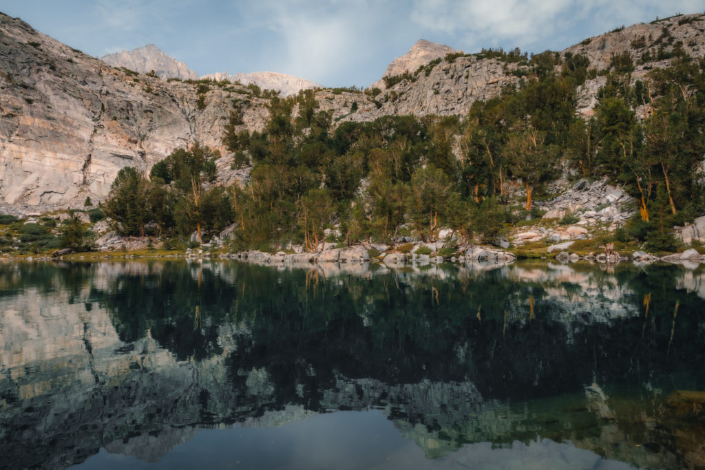
Icy cold and crystal clear, the water is home to various species of fish. If you look closely, you can see them swimming around the submerged rocks.
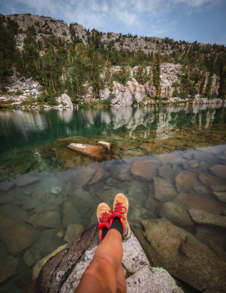
Upon leaving Gem Lake, we only have about 3.5 miles until we’re back at the parking lot. On the way out, enjoy the natural beauty of hiking the Little Lakes Valley in Inyo National Forest.
Before heading out on trails, it’s imperative that you’re familiar with the “Leave No Trace” principles.
Read More: Leave No Trace: The 7 Rules of the Backcountry
Learn more about Leave No Trace on their website here.
Like This Post? Pin It!
| This post contains affiliate links. At no extra cost to you, if you purchase one of these products I may receive a small commission. This helps me maintain my blog as a free space to you. Check out my Disclaimer for more info.
