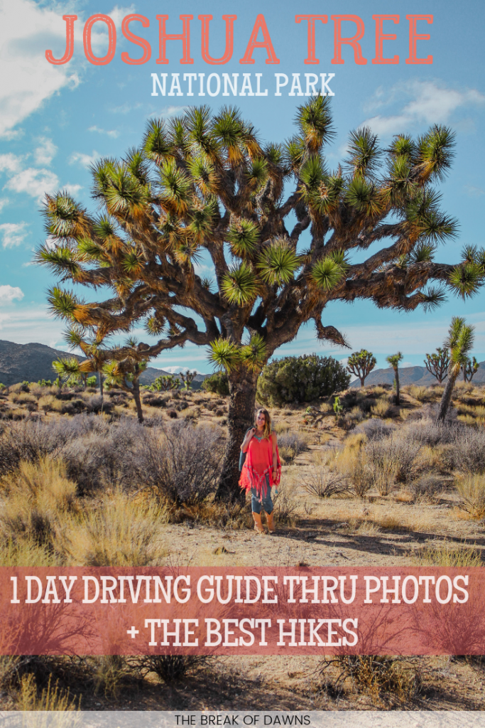
After moving to the west coast, one of the first places I wanted to go was to the deserts of Southern California. Those iconic yucca trees had been on my list to see for ages and a quick day trip to the area gave me everything I was looking for. Included in this post is a guide to driving Joshua Tree, including a driving itinerary from the south to the north and all of the worthy treks along the way.
About Joshua Tree National Park
If you’re any sort of familiar with social media, I’ll bet that you’ve at least heard of Joshua Tree. The National Park here protects almost 800,000 acres in Southern California and is home to where the Mojave and Colorado deserts meet. This convenient spot allows the plants and animals of both deserts to mesh all into one.
The elevation in Joshua Tree ranges from 500 to 5800 feet, causing weather conditions to change dramatically throughout your visit. When we began our trip in the south, I was wearing a summer dress but by the time we made it to the north end of the park, the temperatures had dropped about 50 degrees.
Guide to Driving Joshua Tree National Park
There’s essentially one main paved road that runs through Joshua Tree called Pinto Basin. While there are some paths to cut off on, you can see the best of what Joshua Tree has to offer by following my guide to driving Joshua Tree. Included in the guide are points of interests and locations for the best hikes in the park.
Be sure to check the road conditions of Joshua Tree on the National Park website here.
Beginning in the South
We begin at the south end of the park, veering off of Interstate 10 for Cottonwood Springs Road. Once you reach the Cottonwood Springs Visitor Center where you’ll pay an entrance fee, the road continues on, transforming into Pinto Basin Road.
The route I’m taking you on from south to north would take about an hour and a half to drive straight through but you can take much longer exploring every inch of those 56 miles.
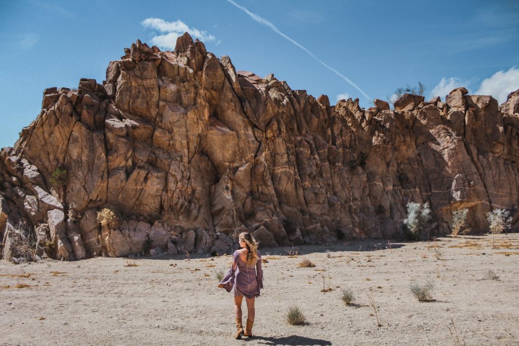
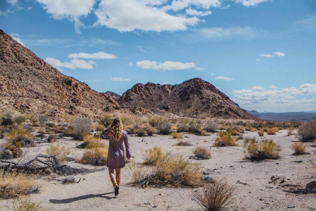
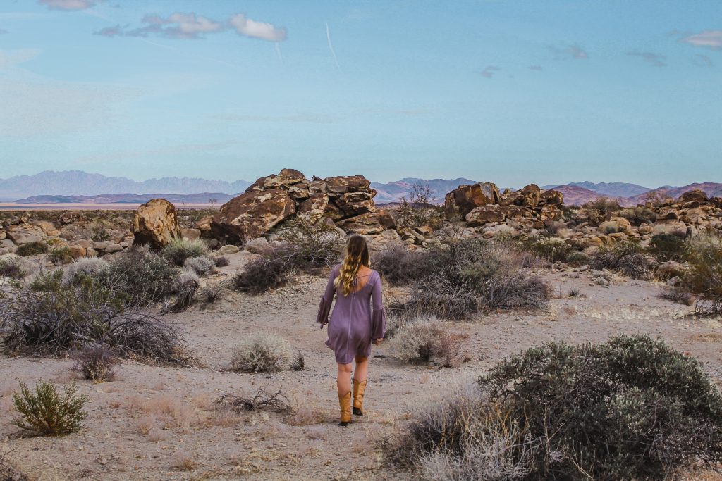
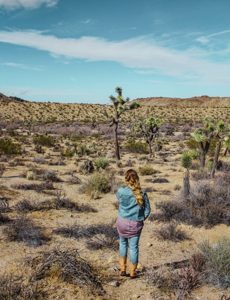
The south entrance of Joshua Tree begins with rocky hills and sporadic brush throughout the landscape. A little walk through the dirt on the Bojada Nature Trail will give you the perfect introduction to Joshua Tree. If this was any hint to the uniqueness of Joshua Tree’s landscape, I was all for spending my day here! Doing a complete 180, the mountains in the background shape the horizon.
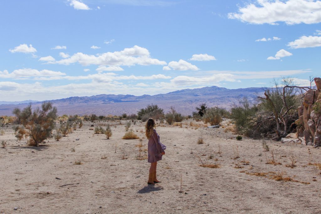
Continuing to the North
There are a couple of hikes you can get to from the visitor’s center, like the 1.5 mile Cottonwood Spring Nature Trail, the 7 mile Lost Palms Oasis Trail and the 2.5 mile Mastodon Loop.
About 7 miles up the road from the visitor center, Pinto Basin continues on to the left with 2 roads to the right leading to the sand dunes and the Black Eagle Mine. The uniqueness of Joshua Tree’s desert melting pot continues on.
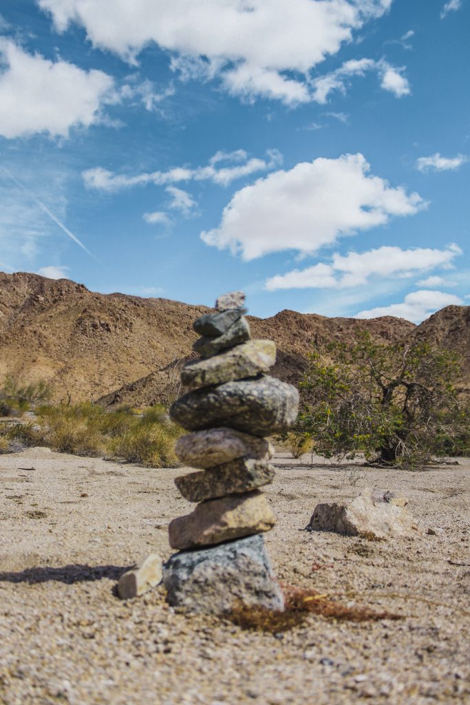
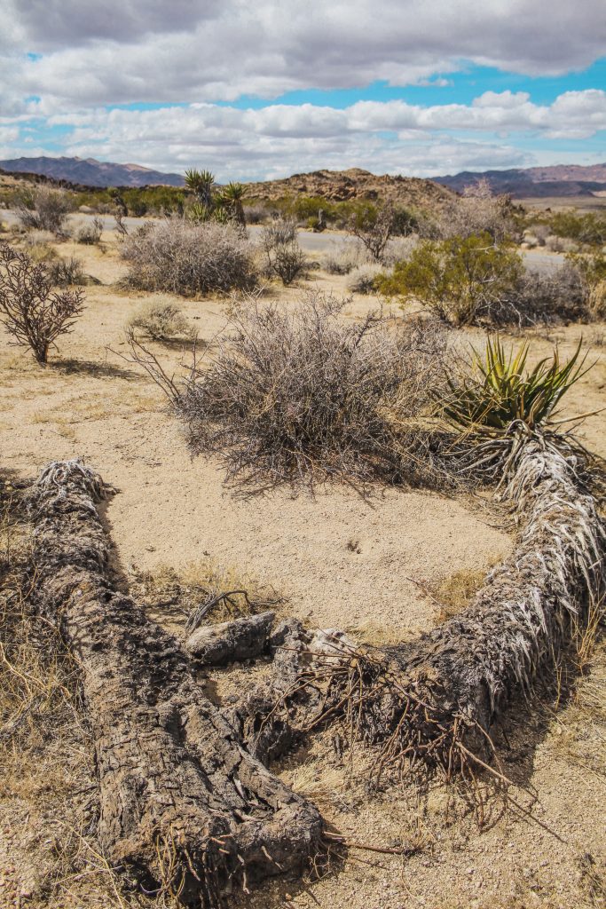
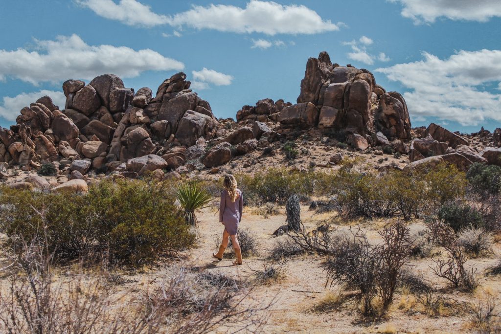
There are about 13 miles between this split in the road and our next stop, with multiple trailheads beginning in this area like Porcupine Wash to Ruby Lee Mill and the 10.5 mile Pinto Mountain Trail.
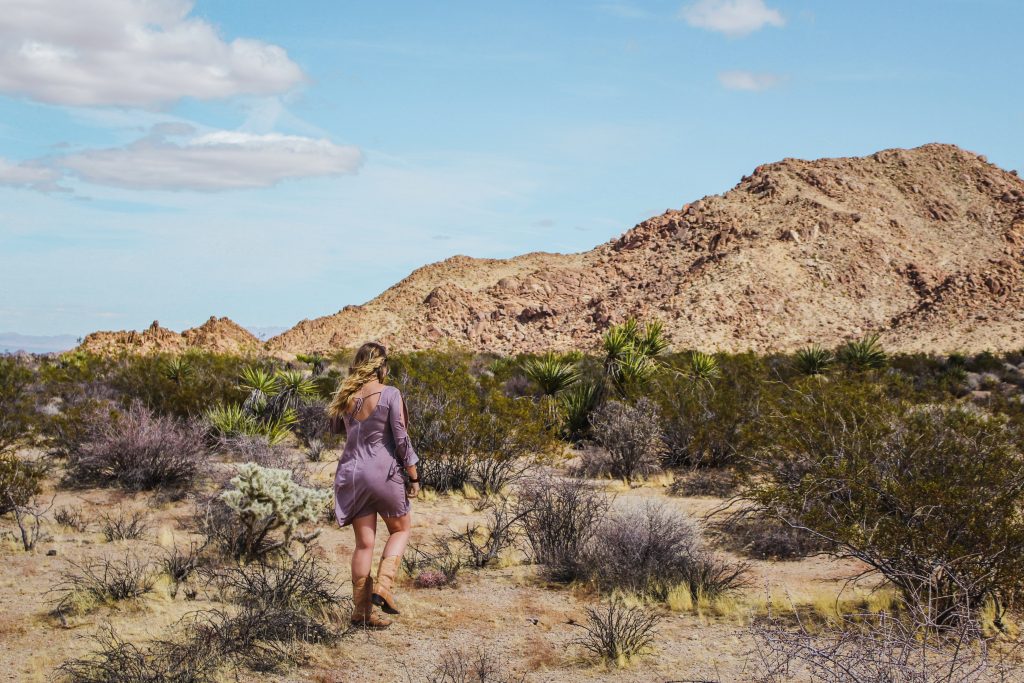
We spent a lot of time stopping and taking pictures between these 13 miles, discovering the unique vegetation of Joshua Tree and soaking in the backdrops to the desert.
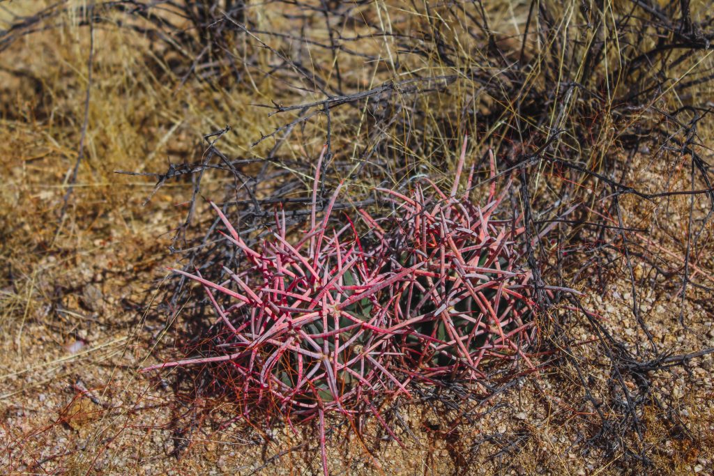
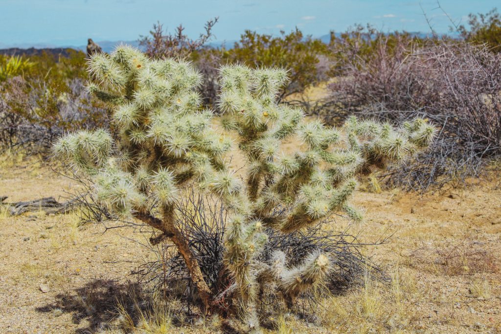
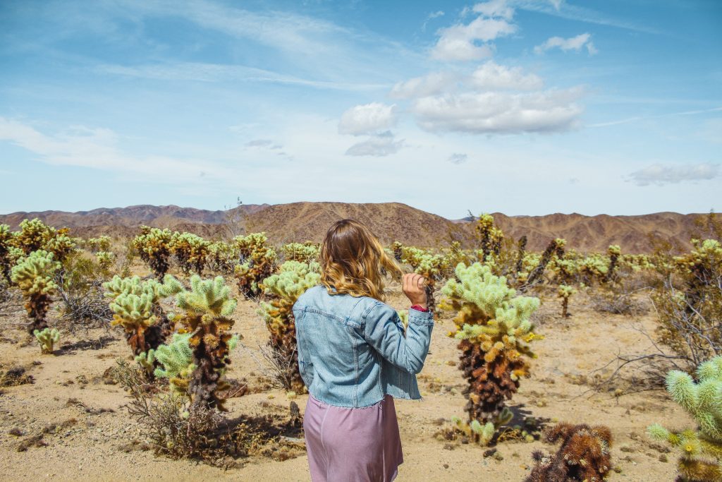
Cholla Cactus Garden
On to one of my favorite little spots in Joshua Tree is the Cholla Cactus Garden. The road splits right between the fuzzy looking vegetation.
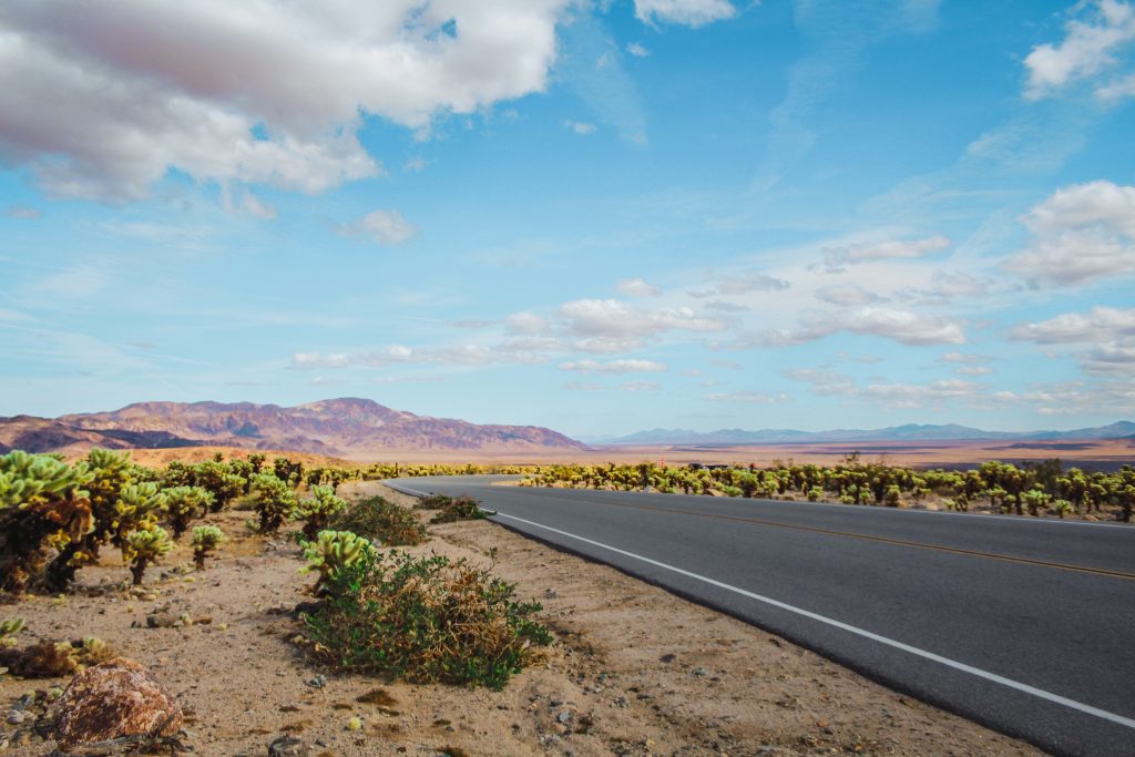
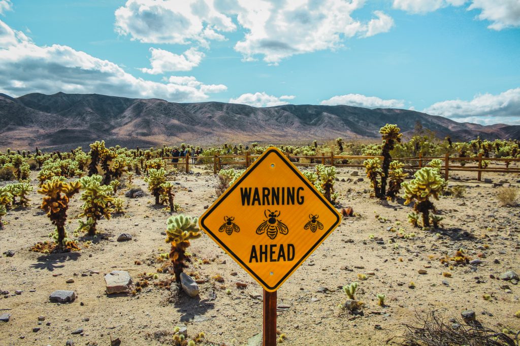
A 0.2 mile loop trail leads you through the gardens of the green-tipped cacti, with plants appearing in all shapes and sizes.
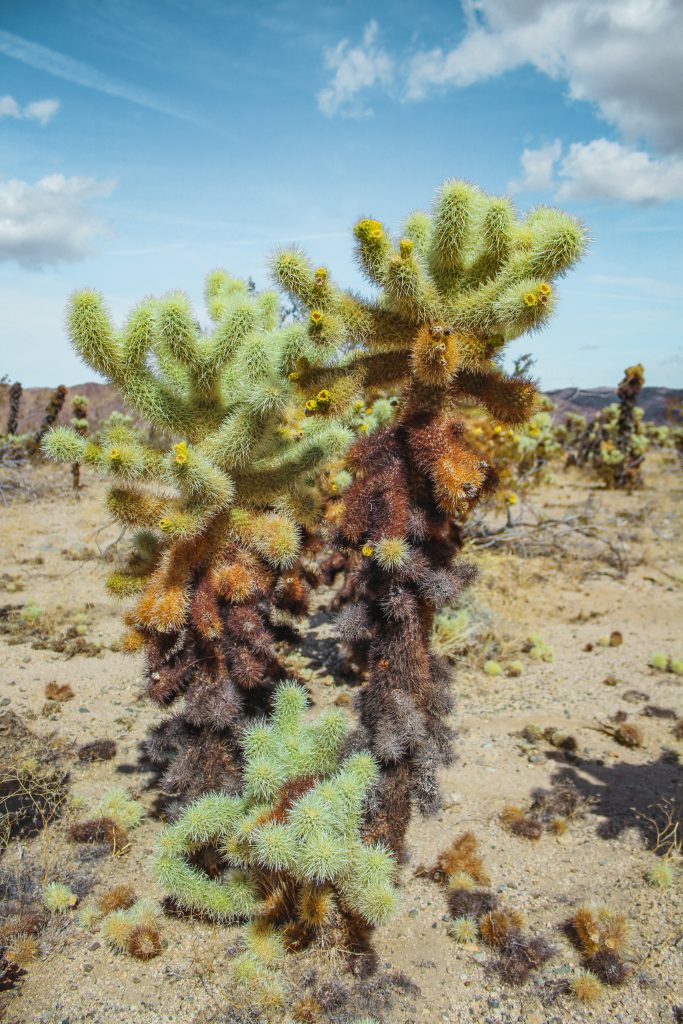
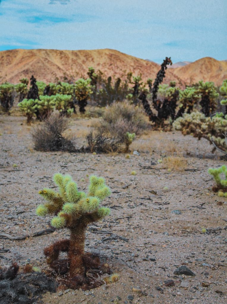
With the flowering capabilities of the Cholla Cacti, it’s a breeding ground for our favorite pollinator, the bee.
Rocks Galore
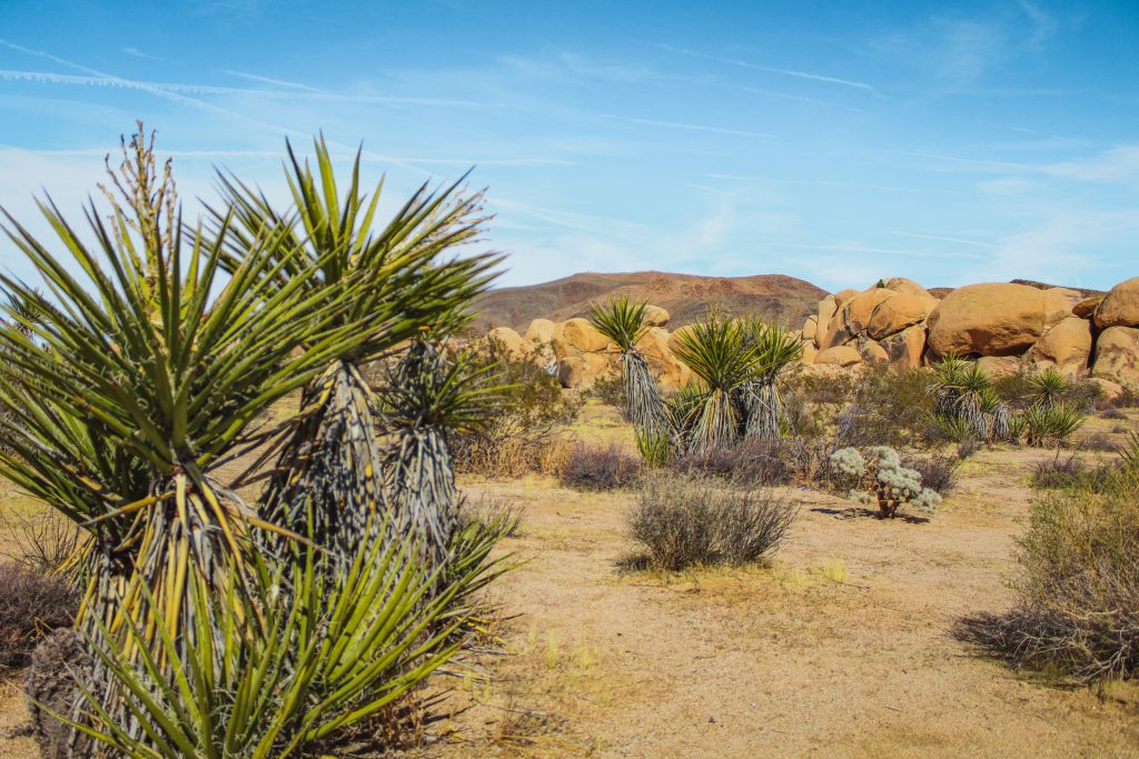
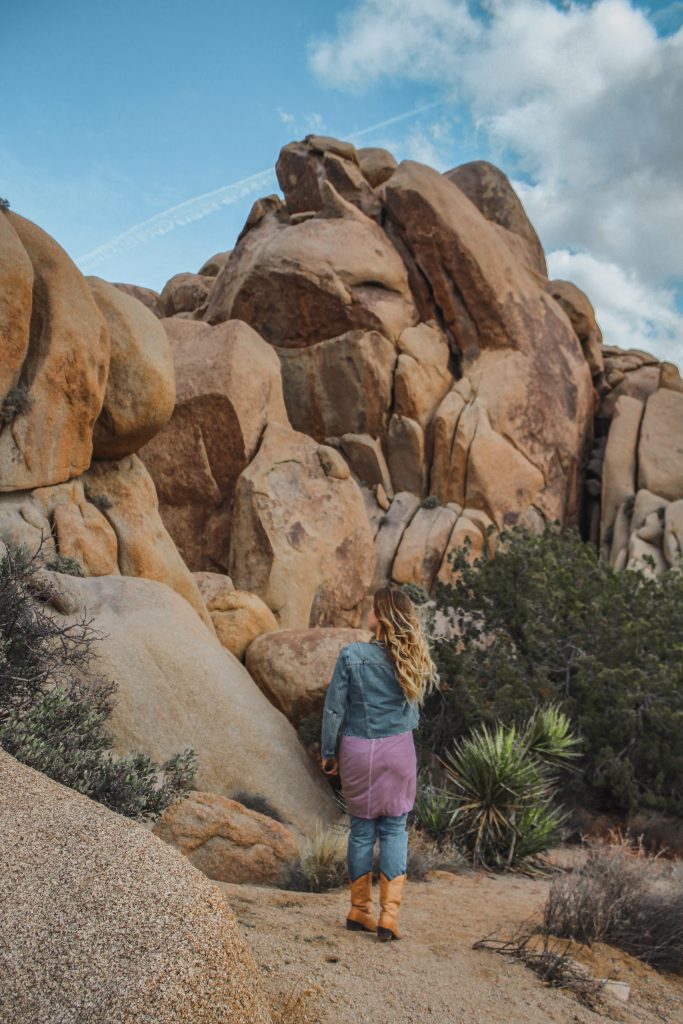
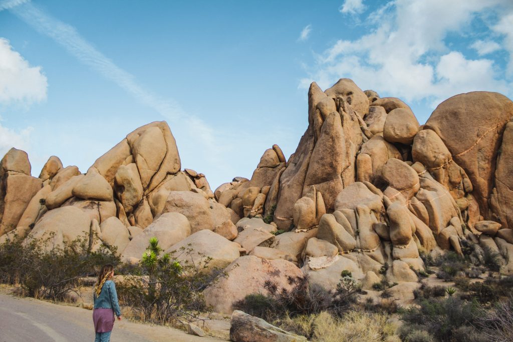
The 7.5 miles between the Cholla Cactus Gardens and our next stop is where those iconic Joshua Tree boulders really begin to dominate the desert.
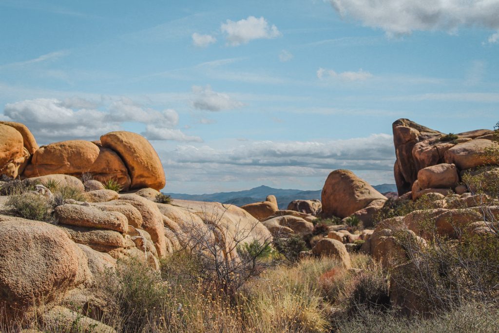
Within those miles from the cacti are two different trails, the 1.3 mile Silver Bell Mine Hike and the 2 mile Golden Bell and Eldorado Mine Trail.
Arch Rock
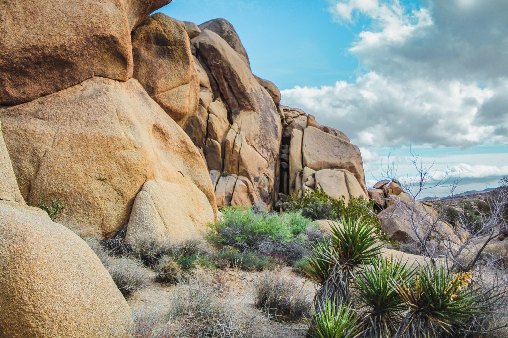
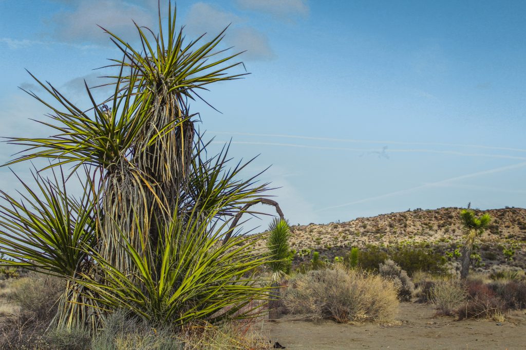
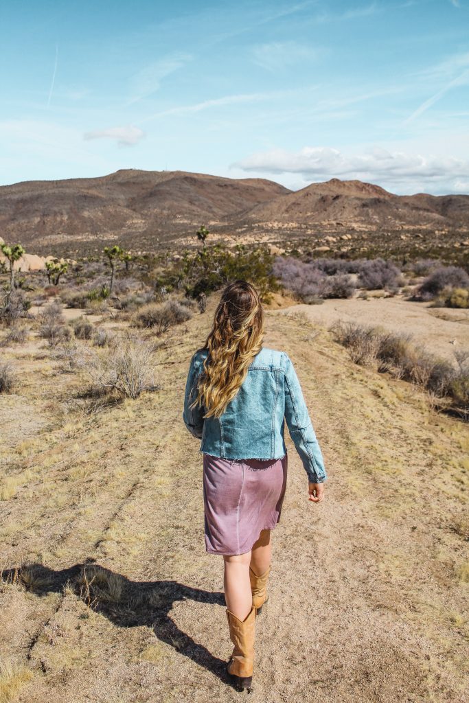
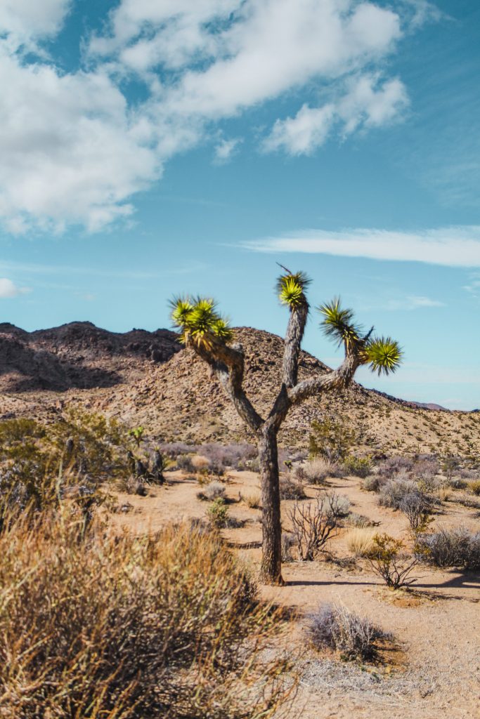
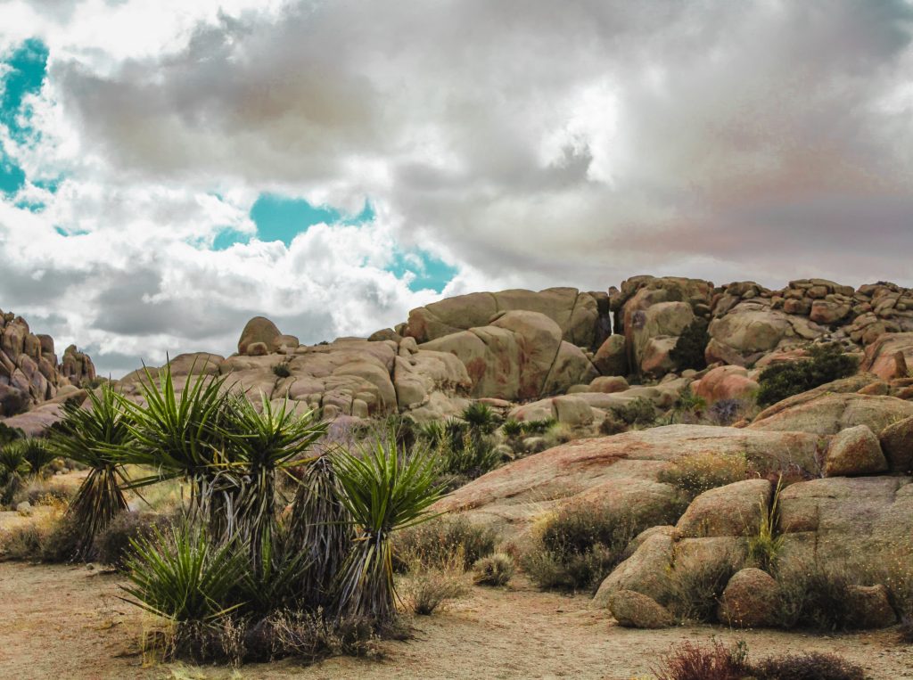
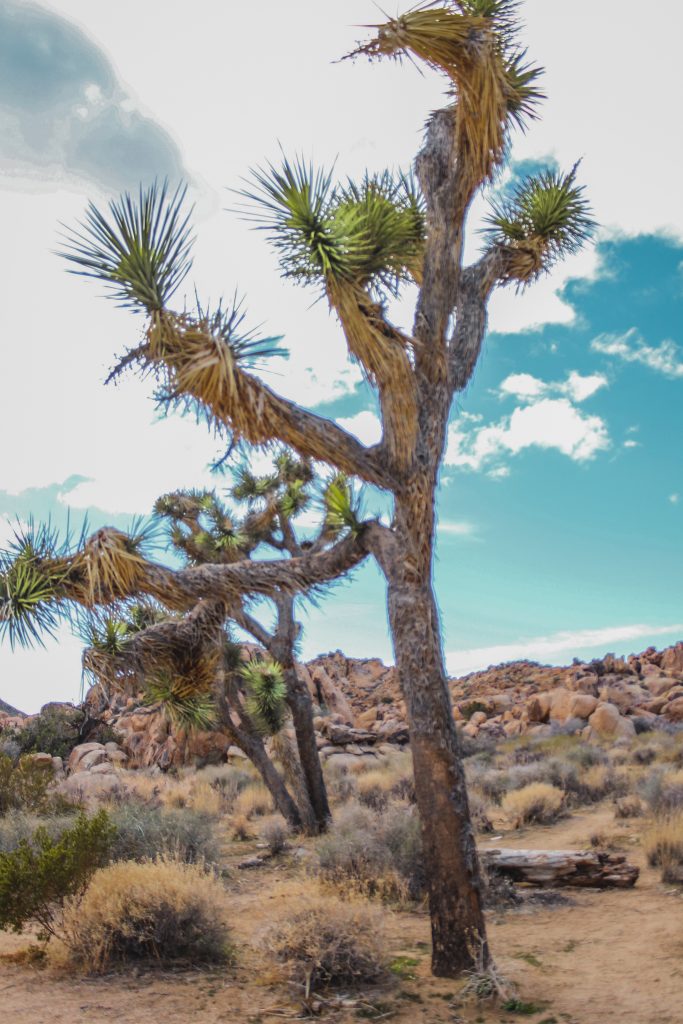
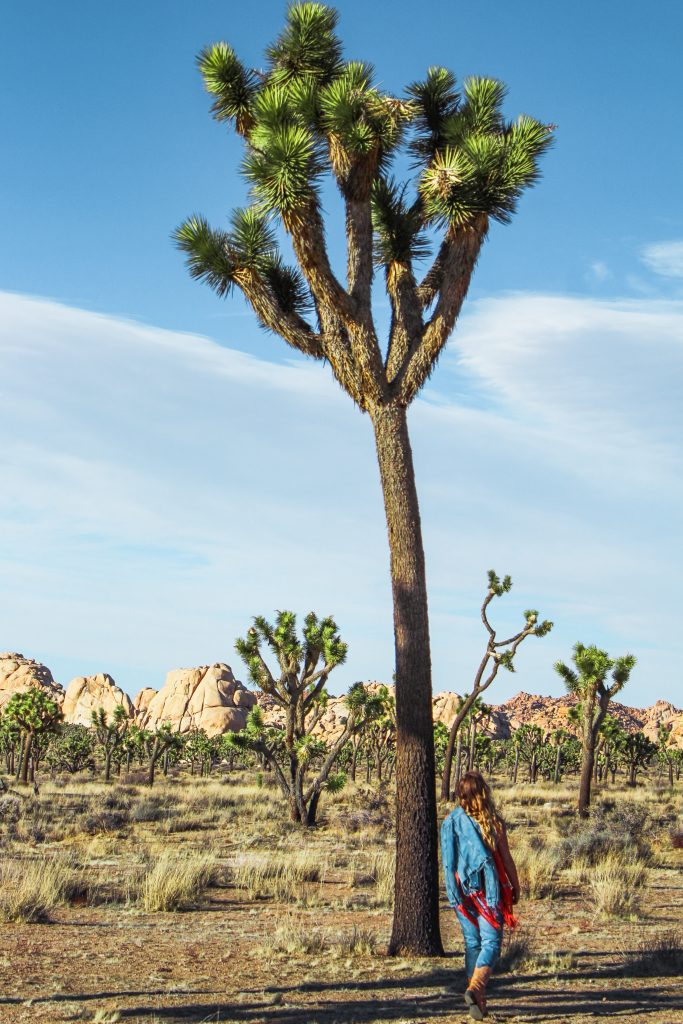
We begin to come into the coolest areas of Joshua Tree as the landscape starts to transform from a somewhat flat desert to a jagged and rocky atmosphere. This area around Arch Rock can be easily explored with its 0.5 mile out and back trail. Along with the changing of the landscape, those iconic yucca trees really begin to make an appearance!
Reaching Pinto Wye
About 3 miles after Arch Rock, Pinto Basin Road will “T” into Park Boulevard at Pinto Wye. To exit the park quicker, take a right towards the Oasis Visitor Center and the town of Twentynine Palms.
Taking the longer route to the left will bring you another 21 miles through, in my opinion, the best parts of Joshua Tree.
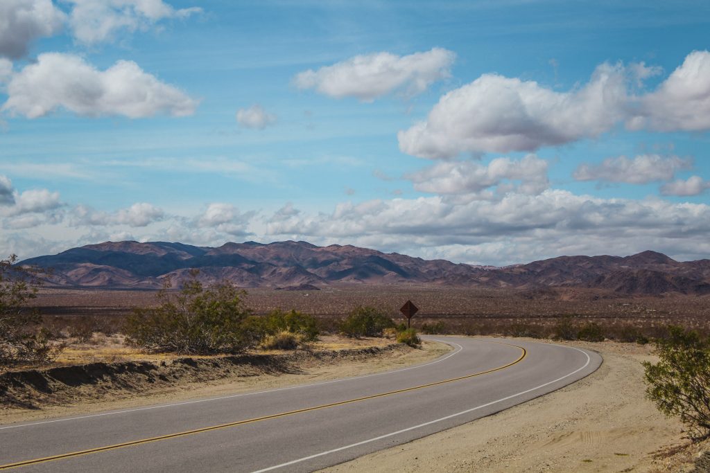
After turning left, just over 2 miles down the road is a perpendicular road that dead ends into different trail heads. To the left is the 1.5 mile Live Oak and Ivanpah Tank Trail.
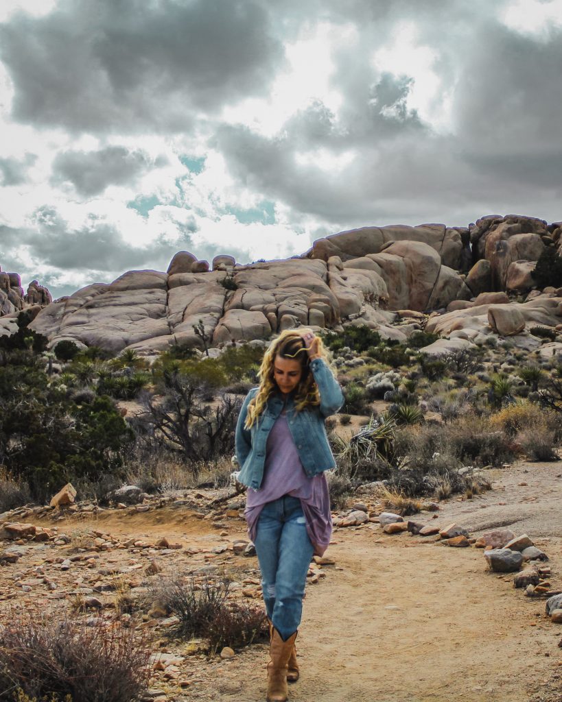
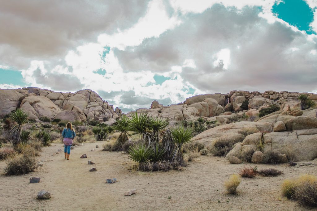
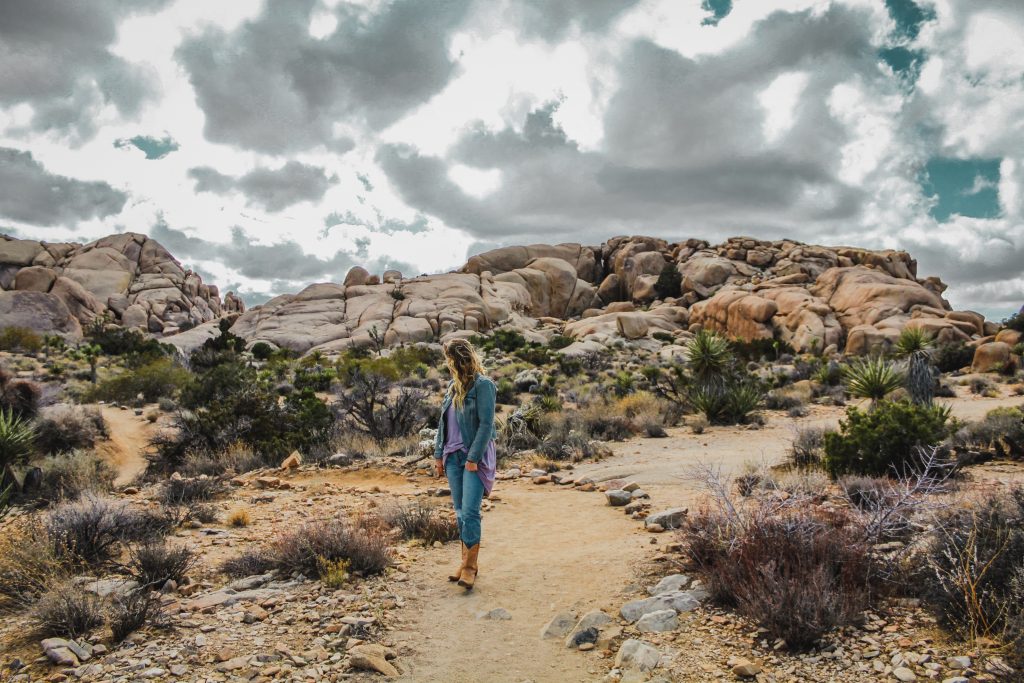
To the right is the 2.3 mile Eagle Cliff Mine trail and the 1.9 mile Split Rock Loop trail.
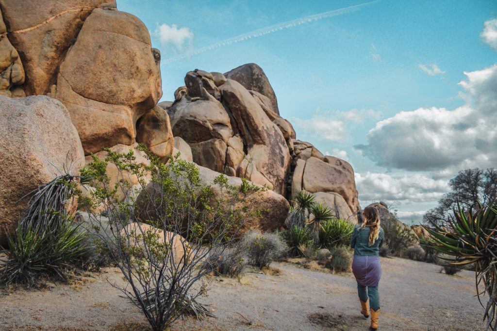
Skull & Jumbo Rocks
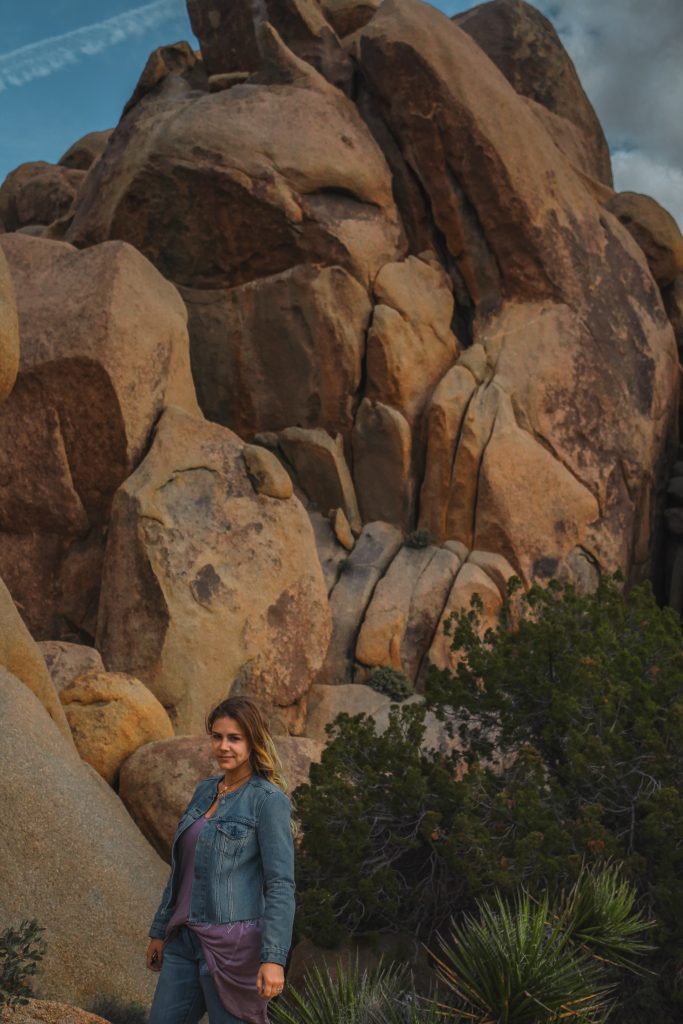
Another half mile down Park Boulevard will bring you to my favorite part of all of Joshua Tree.
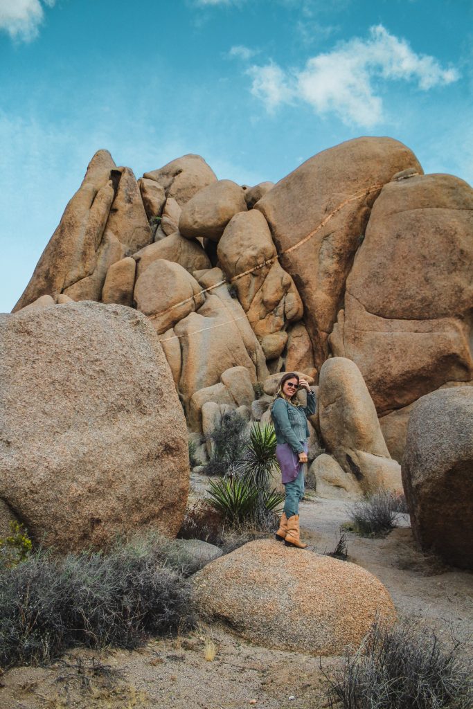
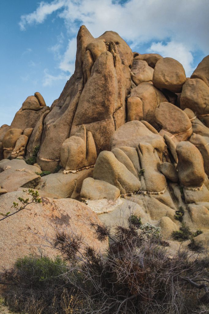

At the campground, you’re met with a 1.7 mile Skull Rock Nature Trail and a 0.7 mile Skull Rock Discovery Trail. Since these are shorter hikes, you can explore up close to the boulders easily and without wasting too much time.
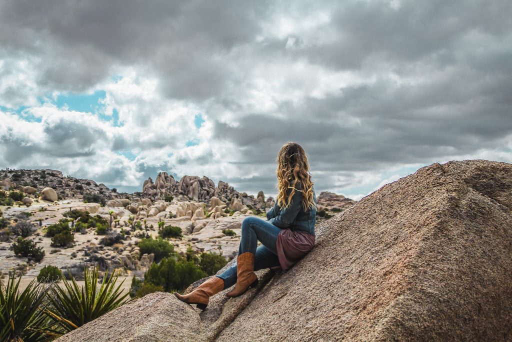
A short trek up the road a little further will bring you to the 0.8 mile Jumbo Rocks Campground Loop and the 4 mile Crown Prince Lookout Trail. Don’t miss Elephant Rock while you’re here!
Going Off the Beaten Path
Just over 2 miles up the road is another route that runs perpendicular to Park Boulevard. We took the 17 mile Geology Tour Road down to Pinyon Well to do some exploring off the beaten path. The road is pretty rough gravel-wise so be sure you have the right vehicle to do so!
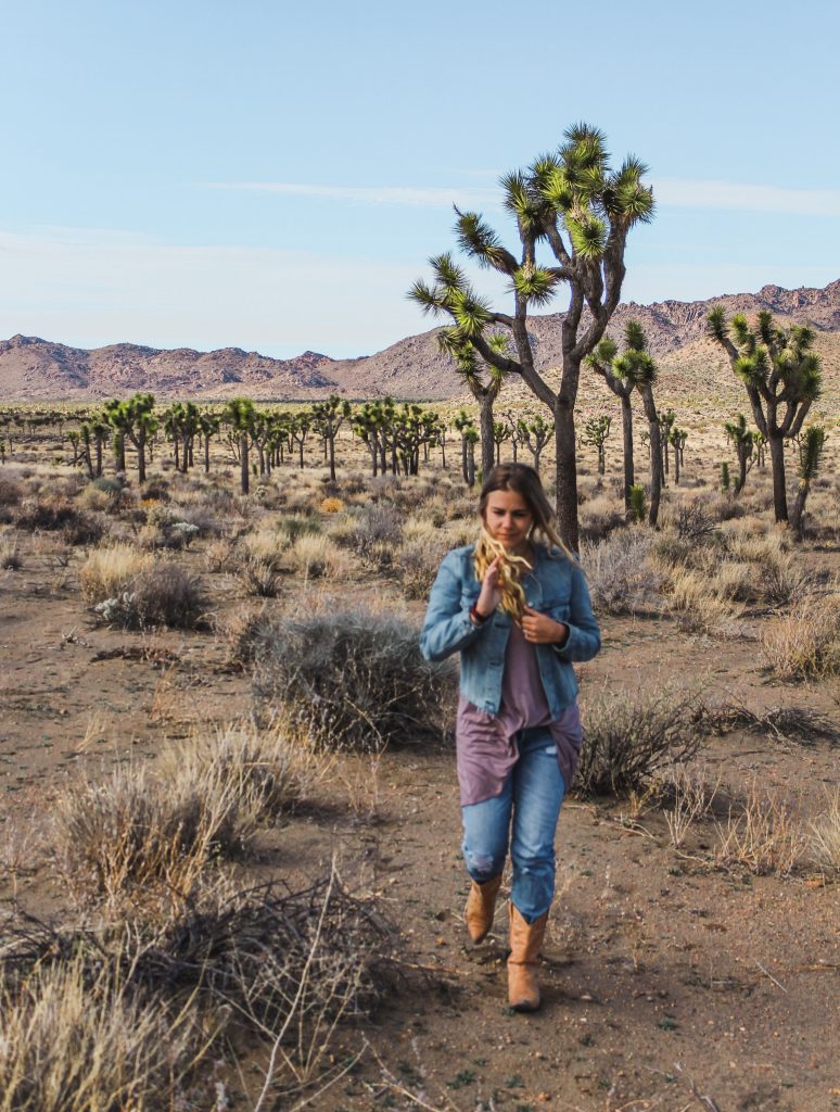
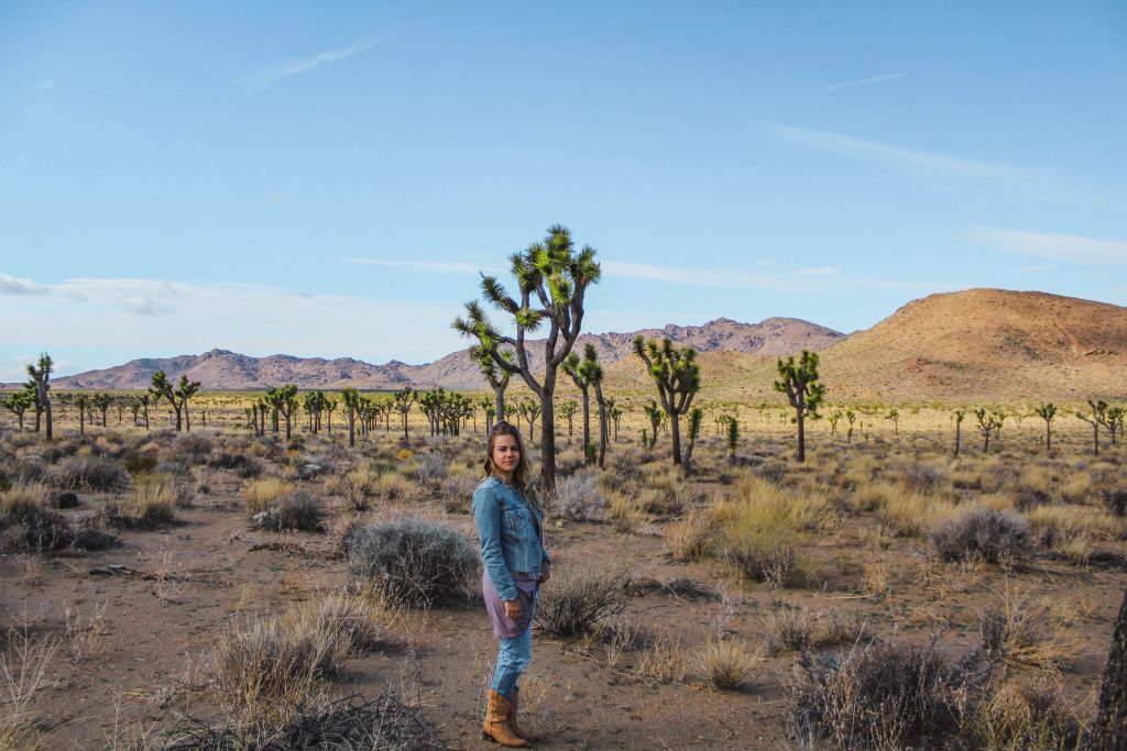
Taking a right instead of a left off of Park Boulevard is a drive just over 5 miles on an off road that will bring you back to Park Boulevard.
Here you’ll find a few different trailheads: the 3 mile Lucky Boy Vista to Elton Mine, the 4 mile Pine City Trail and the 3.5 mile Desert Queen Mine trail.

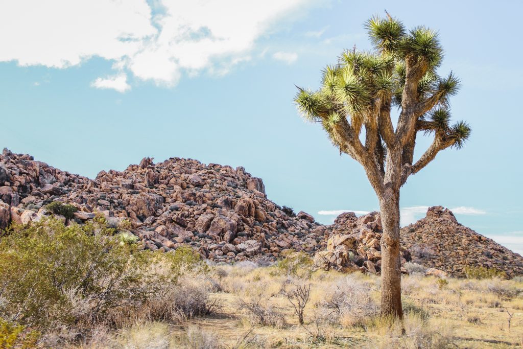
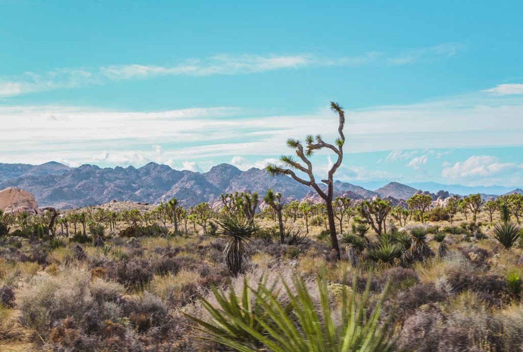
Towards the end of that 5 mile drive, other trailheads can be found like the 2.5 mile Wall Street Mill Trail and the 1.8 mile Barker Dam Nature Trail.
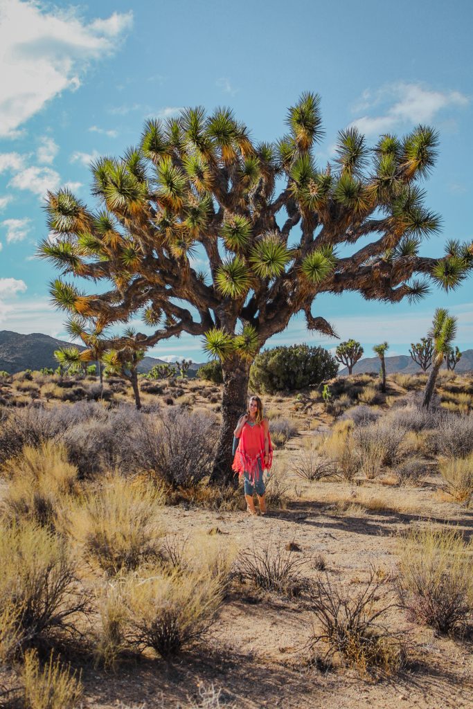
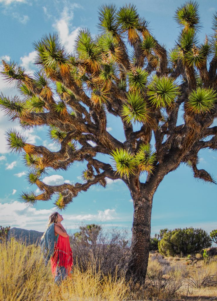
Instead of taking that extra loop north of Park Boulevard, continue west to Park Boulevard. Just over 5 miles you’ll arrive at Keys View Road. On the way, pass by the 3 mile Ryan Mountain trail and the 0.6 mile hike to Hall of Horrors.
Keys View
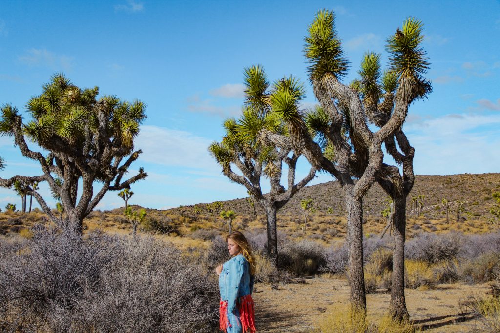
The drive to Keys View is stunning with those yuccas dominating the landscape once again. A few noteworthy hikes on your 5 mile drive to the dead-end road are the 0.7 Cap Rock Trail, the 13 mile Stubby Springs Loop and the 7 mile Lost Horse Mine trail.
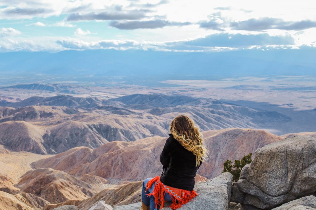
Eventually you’ll make it to the end of the road at Keys View. Hike the 0.2 mile nature trail up to the viewpoint for some incredible views.
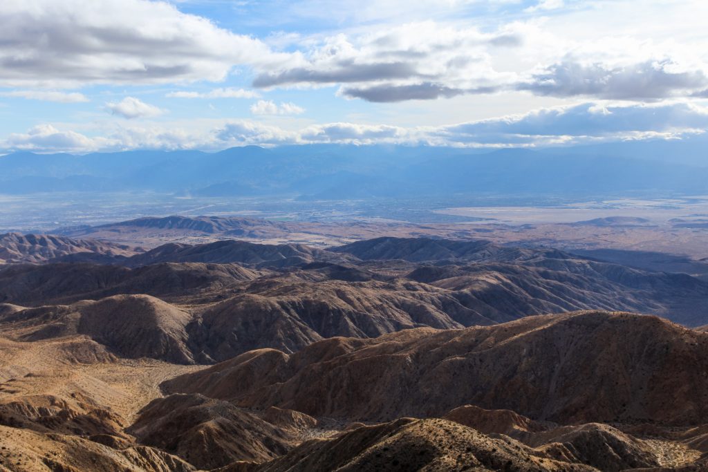
On a clear day from here you can see Palm Springs, the Salton Sea and even a mountain in Mexico. Be sure to bring your jacket along as it’s almost usually always windy and chilly!
Continuing on Park Boulevard
After retreating back from Keys View, we only have a little under 11 miles until we exit the park.
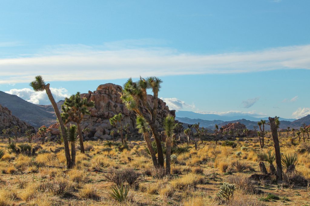
Along this route are multiple campgrounds and even more hikes. Some of the best include the 1 mile Hidden Valley Nature Trail and the 8 mile Boy Scout Trail. Check out the 7 mile Willow Hole Trail, the 3 mile Samuelsons Rocks Trail and the 1.5 mile Negropolis Trail.
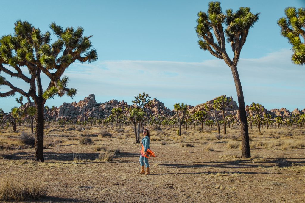
Ending our Guide to Driving Joshua Tree at Sunset
About 2 miles before the end of Joshua Tree National Park, we stop near some other trailheads for sunset. There’s a 5 mile Maze Loop Trail, the 8.5 mile Big Pine Trail, the 3 mile West Side Trail and the 8 mile Burro Loop Trail.
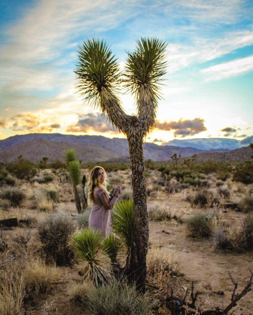
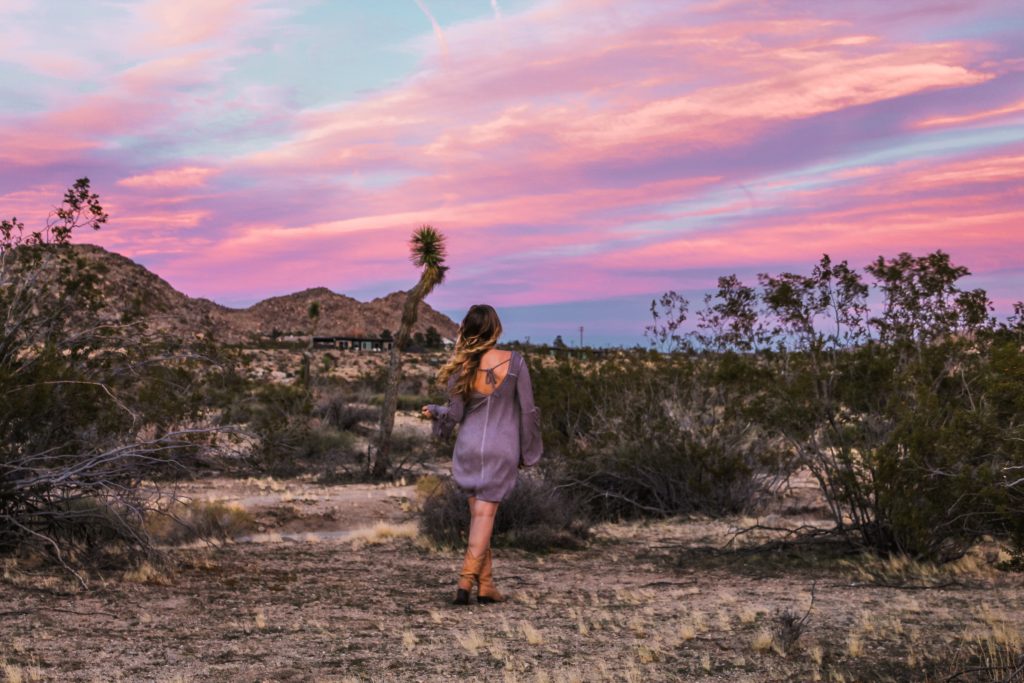
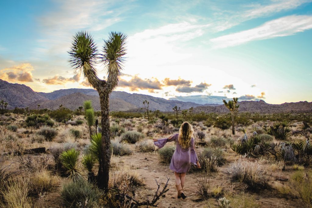
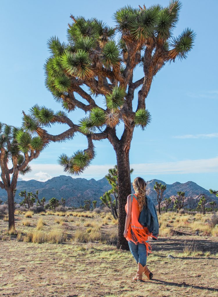
If there’s one thing you do while you’re in Joshua Tree, catch that epic sunset!
Read More National Park Posts HereBefore heading in to any natural areas, it’s imperative that you’re familiar with the “Leave No Trace” principles.
Read More: Leave No Trace: The 7 Rules of the Backcountry
Learn more about Leave No Trace on their website here.
Like This Post? Pin It!

| This post contains affiliate links. At no extra cost to you, if you purchase one of these products I may receive a small commission. This helps me maintain my blog as a free space to you. Check out my Disclaimer for more info.


Pretty! This was an incredibly wonderful post.
Thank you for supplying these details.